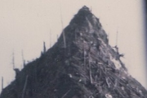
June 19, 1956: "The Olympic National Forest is installing two mobile lookout stations at the summit of the Burma Road in the Calawah district and on Ice Cream Cone mountain in the southern end of the burn." (Port Angeles Evening News)
Ice Cream Cone Mountain ELO
WillhiteWeb.com
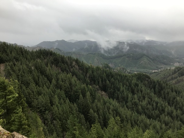
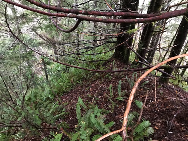
Today, this steep pinnacle once again has trees growing on the sides making the cone shape completely hidden. BUT, it is exactly what you see in the image, supper steep and the ground soil is loose. The last 15 feet up are somewhat exposed and might make you wish you had a rope for belay. There is room at the top for one, maybe two. I have done a lot of low elevation peakbagging in Washington, but there are few places as unique as this below the 2,000 foot level. With the history and even a current view to boot, the site is a true Jem. Using Lidar maps and making 10-foot contours, the sharp peak rises about 200 feet above the ridge.
At this time, I am not at liberty to share the location information.
If you are an old-timer in Forks and have more images, please contact me.
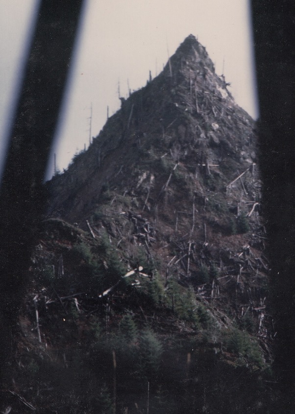
In 1956, Olympic National Forest installed two mobile lookout stations. One was at a feature called the Ice Cream Cone. So far, we have only one photograph of this unique site. (displayed on the right). Apparently, the guard would climb to the top watching for smokes while living down at the trailer at the base. It is unknown if the site was used for more than one year.
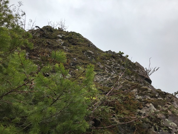
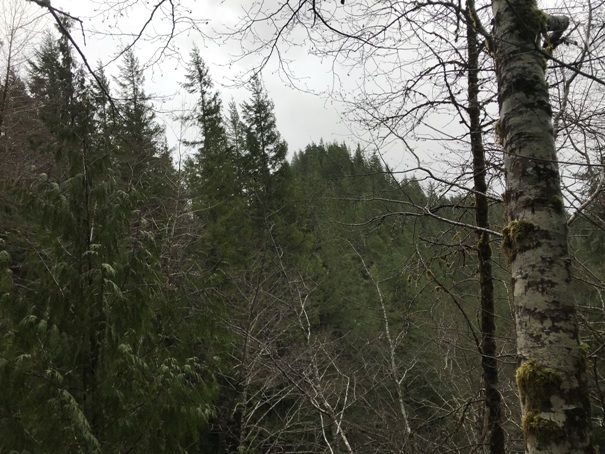
A view as I approached shows the trees near the summit hide the cone
Ice Cream Cone Mountain
Looking down about half way up
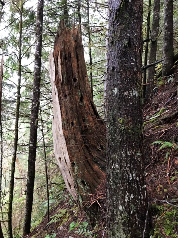
One of the many snags you can see in the old picture
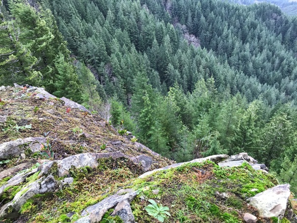
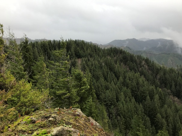
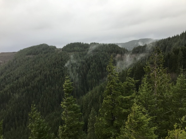
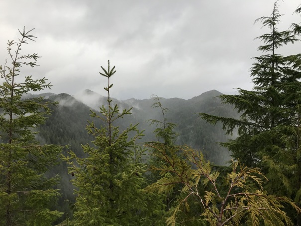
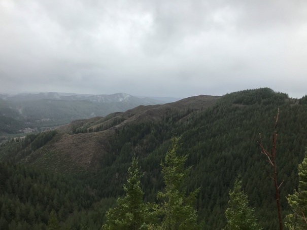
Views from the summit
The last 15 feet looks easy in this picture but it is steep, loose and cliffs on both sides.
The cliff on this one side should allow for views long after all the other sides fill in with trees.
