Hyas Mountain Lookout Site
Lookout Elevation: 3,068 feet
Hiking Distance: 1.3 miles one-way
Elevation Gain: 700 feet
Access: Good Gravel Road
WillhiteWeb.com
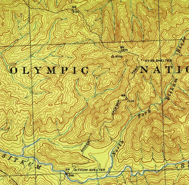
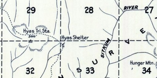
Located on the old Snyder Jackson Trail was the Hyas Shelter. Maps place the shelter near the highpoint of an un-named ridge. The shelter existed and was labeled on maps prior to the Army suggesting it as an airplane observation site in 1942. I donít know if the shelter was used for fire, nor do we know if the shelter was actually at the summit. The slope where the shelter is shown on the map is much steeper than drawn. AWS documents used both terms, Hyas Shelter and Hyas Lookout referring to the spot they picked at the summit.
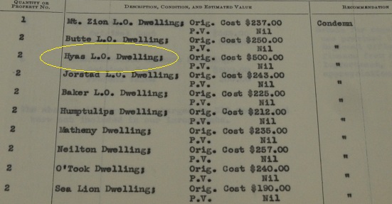
In 1942 the AWS built an observation station. From a document, we learn the following about this station, ďAir Warning Service Station (Baker 5-9 aka Hyas) was established on the Olympic National Forest. A 12 x 16 shake cabin built of native materials using AWS labor. At the end of service this site was retained by the Forest Service. (from Report of AWS Stations, May 1, 1944) The cost was $500.
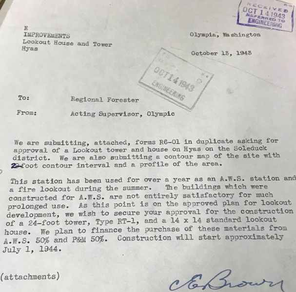
Internal memo in the DNR on October 13, 1943, said the following:
This station has been used for over a year as an A.W.S. station and a fire lookout during the summer. The buildings which were constructed for A.W.S are not entirely satisfactory for much prolonged use. As this point is on the approved plan for lookout development, we wish to secure your approval for the construction of a 24-foot tower, Type RT-1, and a 14 x 14 standard lookout house. We plan to finance the purchase of these materials from A.W.S. 50% and P&M 50%. Construction will start approximately July 1, 1944.
On December 6, the DNR still had no response and continued:
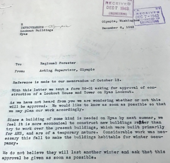
As we have not heard from you, we are wondering whether or not this will be approved. Since a building of some kind is needed on Hyas by next summer, we feel it is more economical to construct new buildings rather than try to work over the present buildings, which were built primarily for AWS, and are of temporary nature. Considerable work was necessary this fall to make the buildings habitable for winter occupancy. We do not believe they will last another winter and ask that this approval be given as soon as possible.
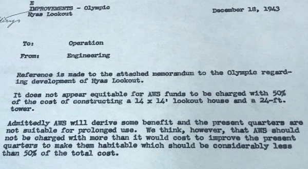
On December 18, the AWS sent a memo saying it did not appear equitable for AWS funds to be charged with 50% of the cost of constructing a 14x14 lookout house and a 24 foot tower. They felt that AWS should not be charged with more than it would cost to improve the present quarters to make them habitable (see docs for more detail).
But finally, many years later in 1956, a 40 foot treated timber tower with R-6 flat cab was eventually built.
July 20, 1956: "Sanford E. Floe, Snider Ranger Station, reports a new fire lookout tower was completed this week on top of Hyas Mountain. The tower is south of the Snider Ranger Station and overlooks the Olympic National Forest timber lands at 3,000 feet high. The tower is 30 feet high." (Port Angeles Evening News)
In 1971, the tower with an R-6 cab was destroyed. We still have no image of this tower.

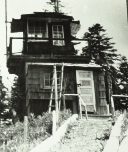
Hyas Lookout, J.R. (Jack) Rooney is the Lookout, 1953
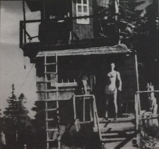
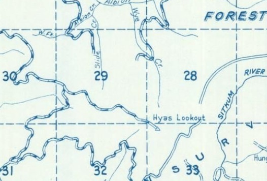
Hyas Lookout, image by Jack Rooney
1970 Metsker Map
1942 Metsker
AWS dwelling cost $500
AWS observers
1943 USGS showing the Hyas Shelter
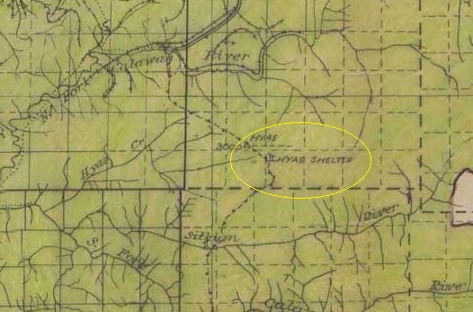
1936 Olympic National Forest map shows shelter existed prior to AWS involvement
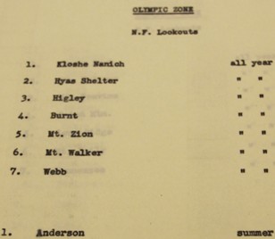
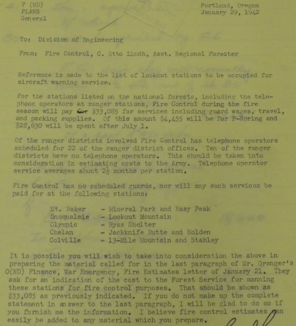
Hyas Shelter was an all year AWS location
Memo requesting approval for a lookout to be constructed.
Memo requesting approval for a lookout to be constructed.
AWS response to the costs involved.
In January 1942, AWS was asking about Hyas Shelter, if there would be fire guards scheduled at Hyas Shelter. I don't know if they assumed it was a fire lookout or they had knowledge that the shelter was previously used for fire. This is the only hint I have that there could have been some prior use of the shelter for fire. But, more realistically, the AWS saw it on a map and assumed that the shelter was some kind of fire observation post. I don't have the previous document this one refers to, which would give us greater context. (update: after visiting, I would probably guess the shelter was on the summit and use for fire)
Access:
Route:
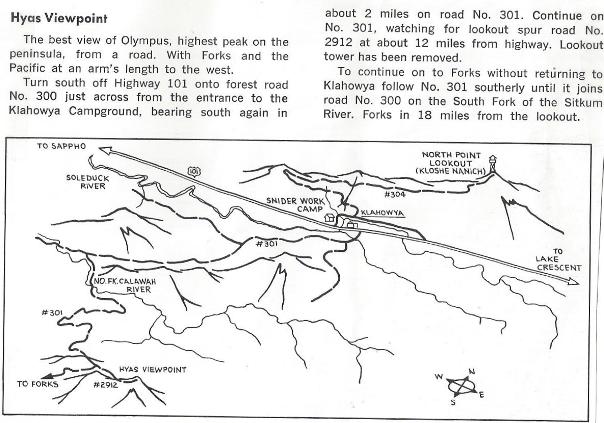
Take the Cooper Ranch Road off Highway 101. Turn onto Forest Service Road 2923. The old spur road to the lookout can be found off the FR 2923.
Just walk the old road, although the road is getting brushy with the occasional trees fallen over the road to work around. The higher you get, the better the road. The old Snider-Jackson trail can be followed near the summit just to the right of the roadway.
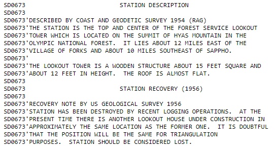
The Hyas Mountain area had several benchmarks. One was placed on the roof of the lookout stamped as HYAS LOOKOUT HOUSE. There was another on a nearby highpoint called HYAS, with two directional benchmarks, and a third one about a mile southwest called HYAS USE 1953. Above is the Datasheet information given for the Hyas Lookout Benchmark.
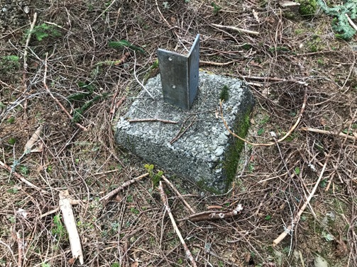
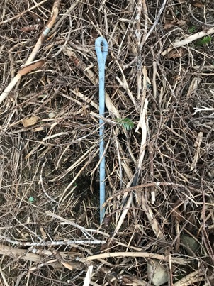
Eye Rod
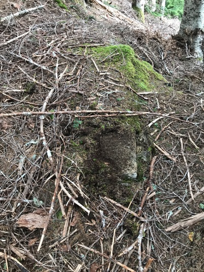
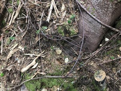
Post Footing
Post Footing
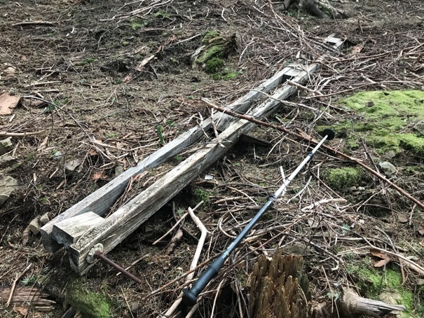
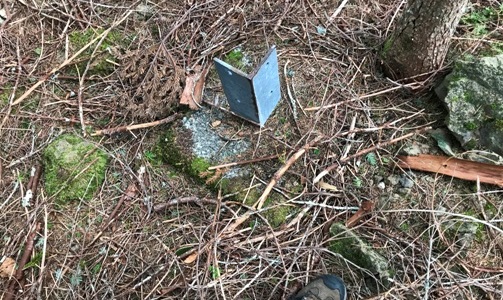
Maybe a shutter hanger, woud an R-6 cab have this
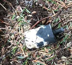
Battery
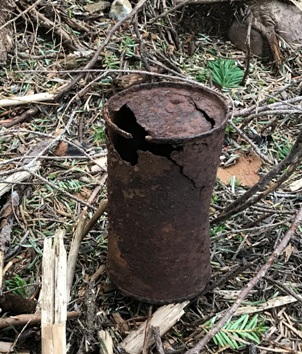
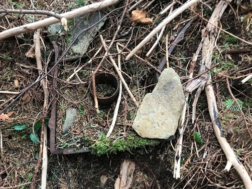
Old can
Stove or oven part
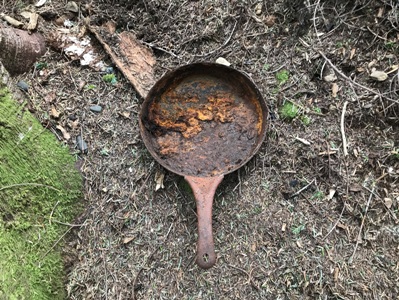
Fry pan
Phone line wire
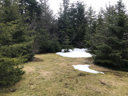
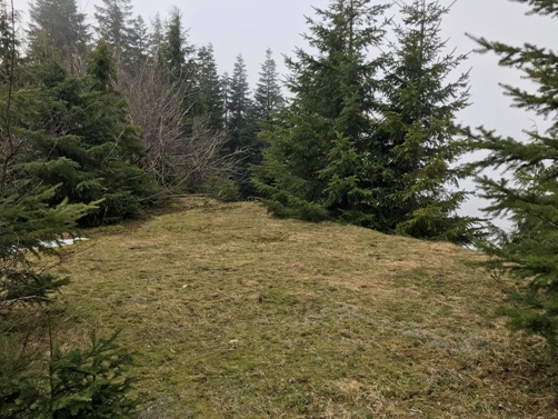
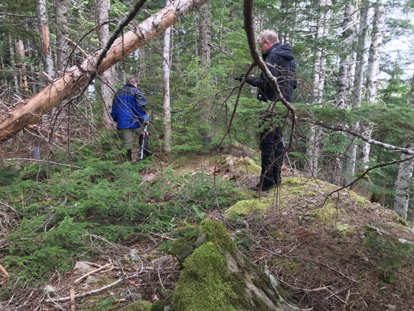
Lookout site in 2020
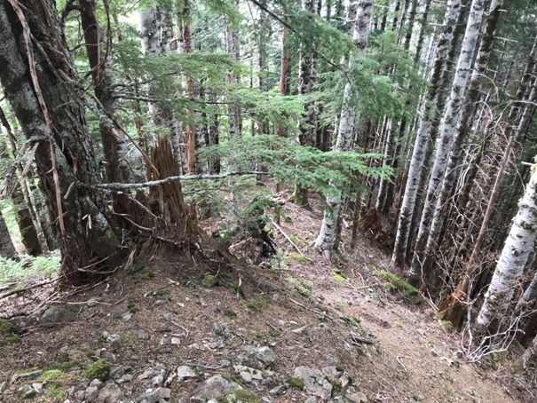
Looking down the hillside from the lookout site
Outhouse foundation
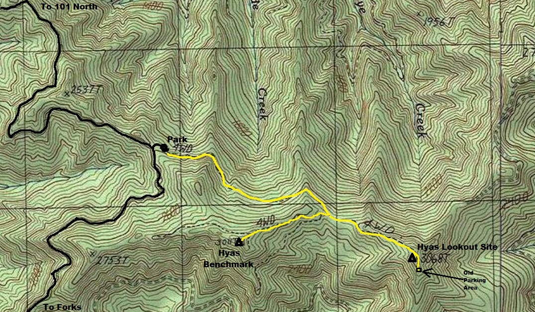
Old roads are yellow, now hikes. As you reach the summit area, the road traverses around the summit on the West to a large open area on the south ridge.
Just leave the road before the road starts the traverse and scramble up easy forest to the summit.
Images of the old lookout parking area that may still have views on a nice day.
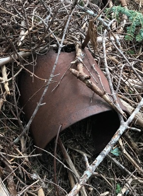
An old drum about 100 feet below the lookout site
From one of the old Footsore or 100 Hikes books. Says the best view of Mt. Olympus. It would be so easy to make a trailhead parking, clear the old road and cut the summit trees. I could get the people and have it done in one weekend. Are you listening Forest Service?


