Hawkeye Point Lookout Site
WillhiteWeb.com
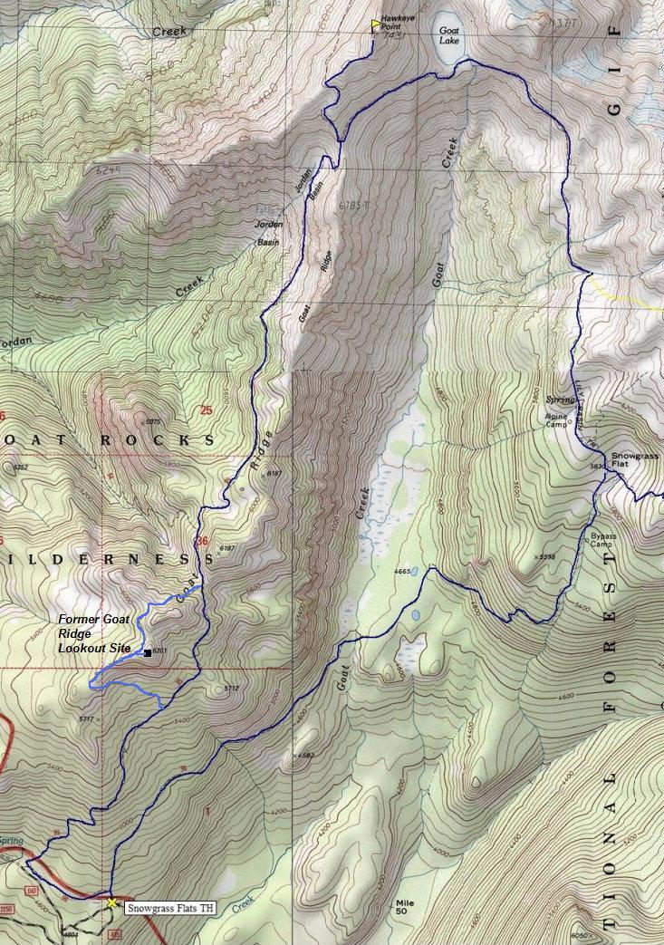
Lookout Elevation: 7,431 feet
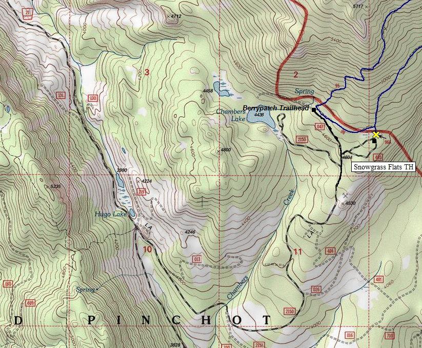
Hiking Distance: 5 miles one-way
Elevation Gain: 3,300 feet
Access: Good Gravel
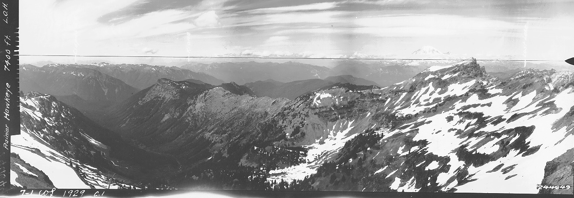
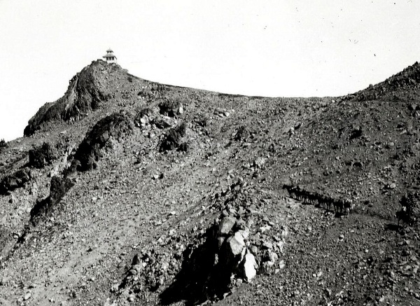
Hawkeye was a cupola cabin built in 1927, used from 1927 to 1933. In 1929, panoramic photos were taken from the lookout. The Hawkeye lookout was abandoned in 1933 because the fog was too frequently enveloping the peak, which impaired visibility. Goat Ridge lookout was constructed to take its place, which was down the ridgeline. Yet, the building stood for many years. It was mentioned by several USGS survey parties in the 1940s and even as late as a 1956 newspaper. The lookout was for sure gone by 1966, likely burned down that year. The USGS benchmark is stamped Hawkeye L.O. 1938.
History:
Access:
See hiking page:
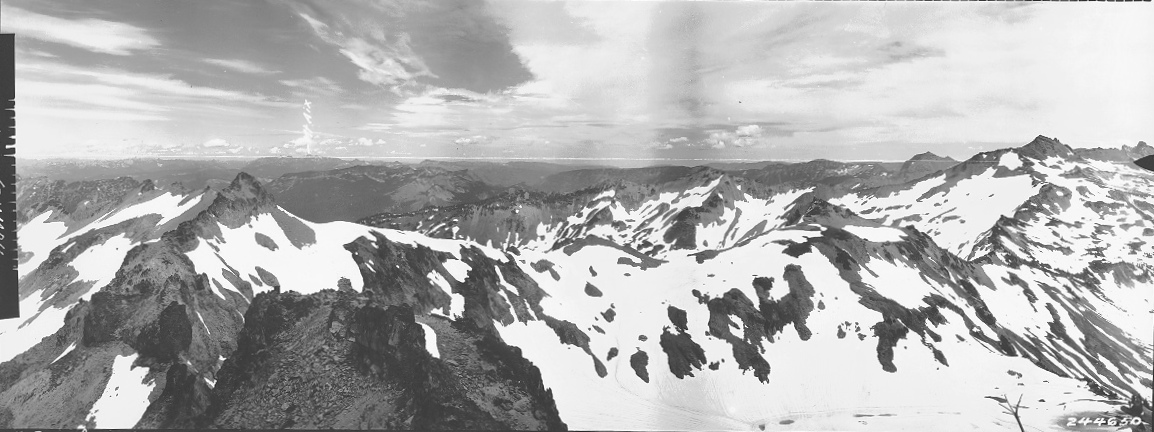

Northeast in 1929
Northwest in 1929
South in 1929
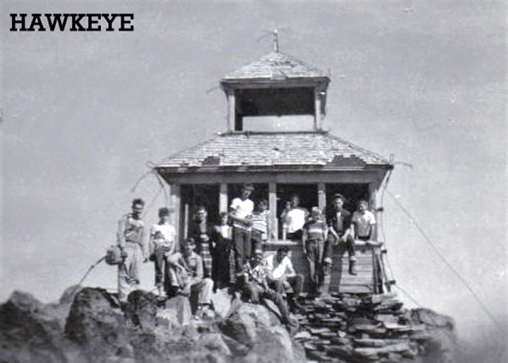
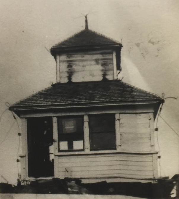
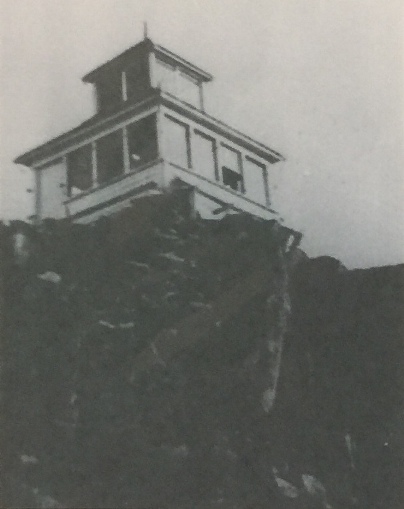
1933
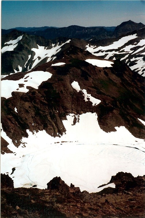
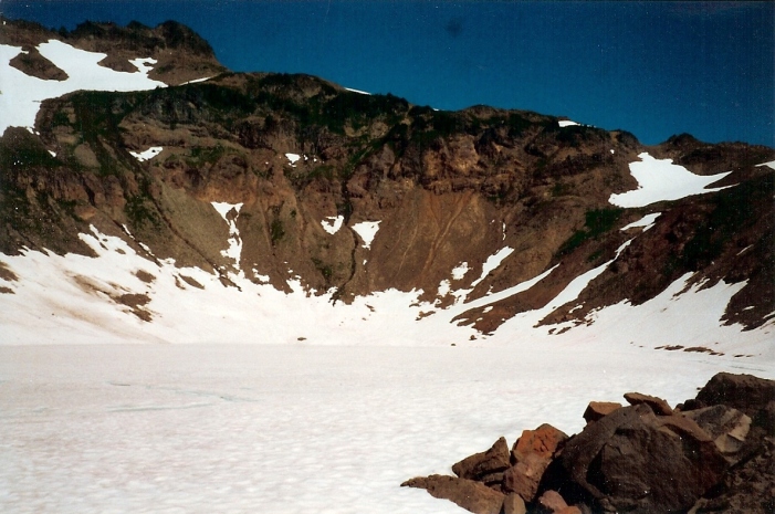
Goat Lake
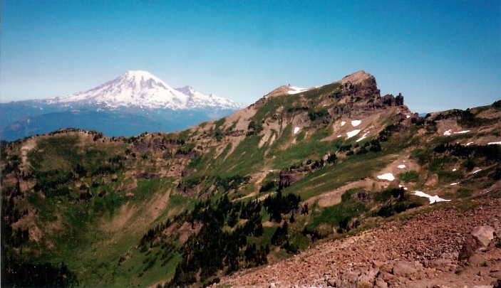
Mount Rainier and Johnson Mountain
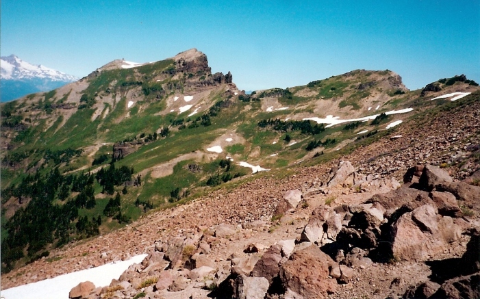
Johnson Mountain
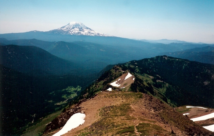
Looking to Mt. Adams from Hawkeye
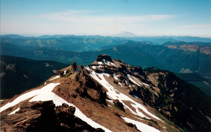
Looking to Mount St Helens from Hawkeye
Looking down from Hawkeye Point to Goat Lake
Mule train on the trail with Hawkeye Point Lookout above
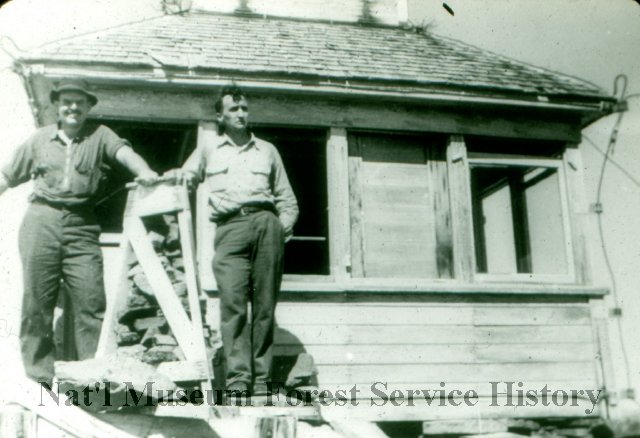
Bob Williams and Marv Perkins on Hawkeye in 1947
A 1928 Journal of the honeymoon couple who staffed the lookout.
The Phantom Bride


