Harvey Creek Lookout Site (Peak 5921)
WillhiteWeb.com
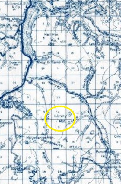
Used for just a short time and with not many improvements, this site is not on any USGS maps that I can find. Metsker maps do show Harvey Mountain and an old trail but no lookout labeled. More to come after a visit.
In 1937, there was a platform tower and camp.
In the 1940s, the lookout was abandoned.
Lookout Elevation: 5,921 feet
Hiking Distance: Have not done yet
Elevation Gain: Have not done yet
County: Pend Oreille

Harvey Mountain is labeled on Metsker but not USGS maps
