Hanlon Mountain Lookout Site
WillhiteWeb.com
In 1935, the Forest Service began in early June on a lookout station.
In 1936, a 30-foot pole tower with an L-4 cab was finished.
In 1940, the lookout stationed on Hanlon was a Mr. Waggoner of Chatteroy.
In 1946, the lookout stationed on Hanlon was Don Jones.
In the 1960s, the tower was removed or destroyed.
Elevation: 4,120 feet
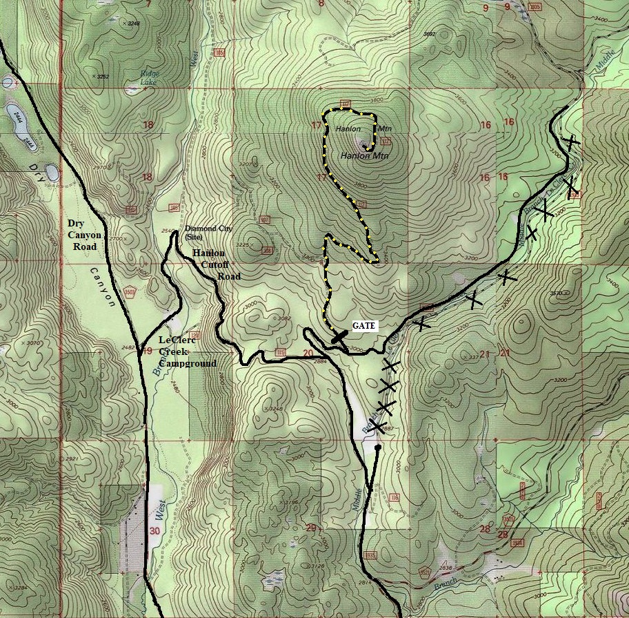
Hiking Distance: 2.6 miles one-way
Elevation Gain: 1,300 feet
Prominence: 760 feet
County: Pend Oreille
Access: Any vehicle
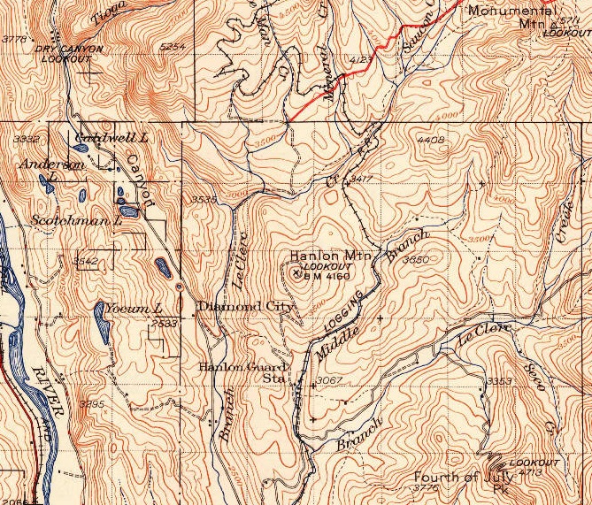
USGS map 1942 (1958 Update)
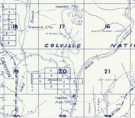
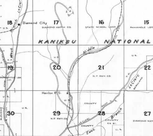
1957 Metsker map showing the lookout on Hanlon Mountain
1941 Metsker map showing road to Hanlon Mountain
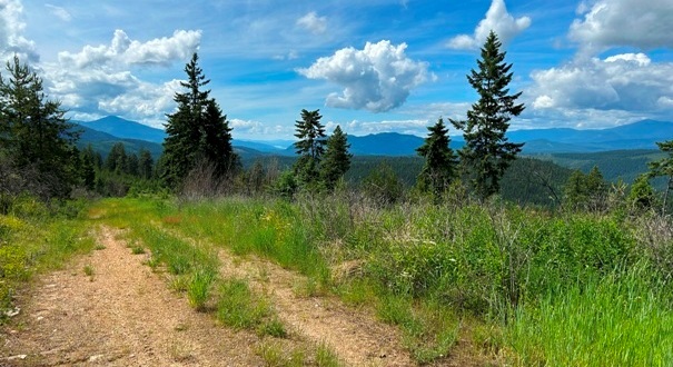
The road has a year long wildlife closure and will likely become overgrown more and more the higher you get up the road. For now (as of 2023) only the last quarter mile is starting to overgrow and is more of a trail than a road. Views at the summit might stick around for awhile.
Route and Site Information:
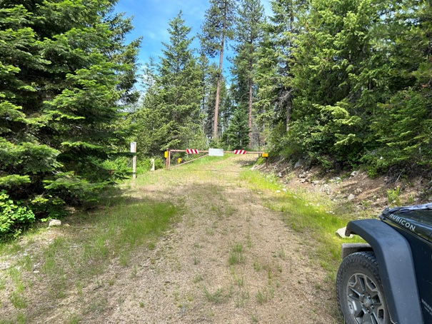
Hanlon Mountain gate
Walking the road
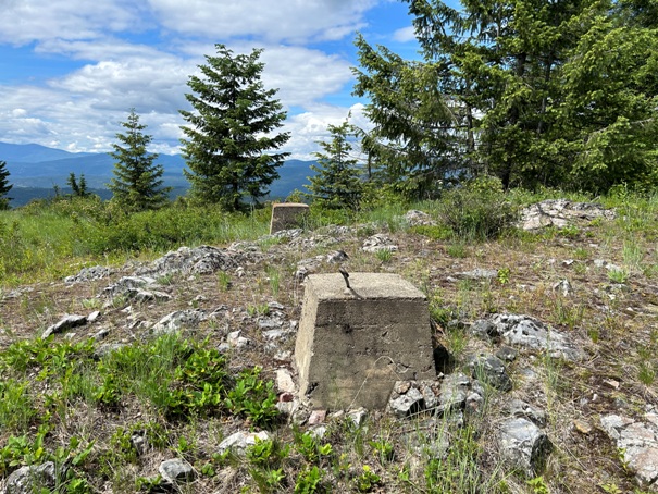
Lookout site
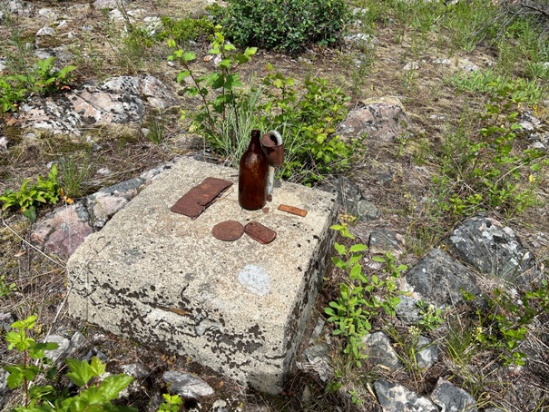
Somebody set up a display
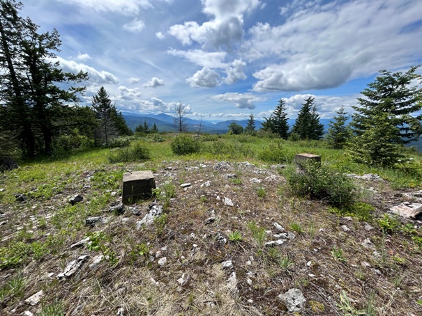
Footings looking south
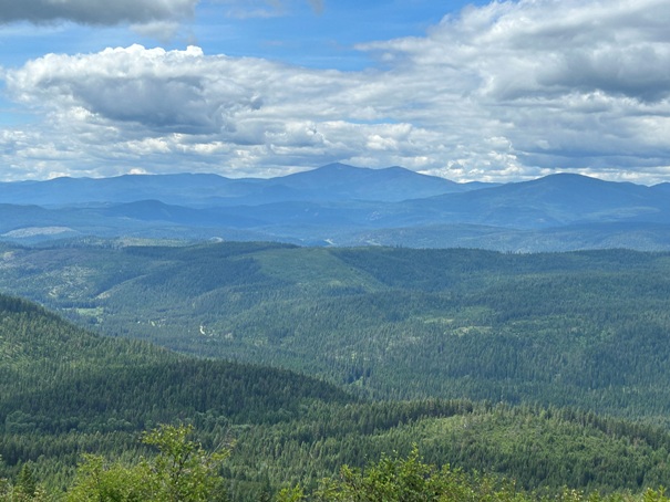
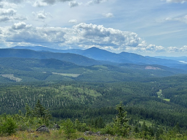
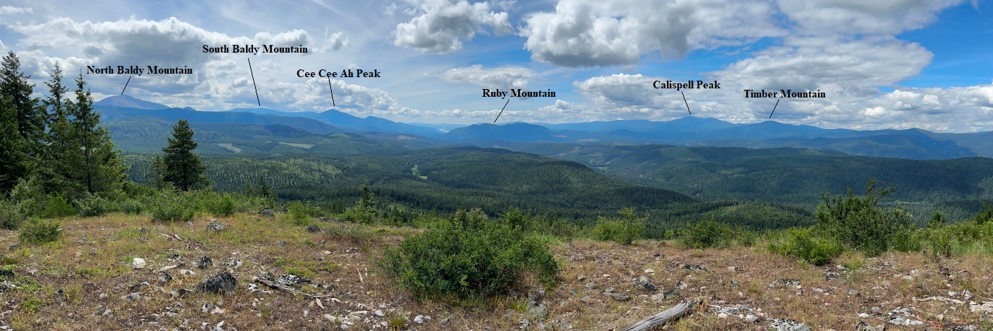
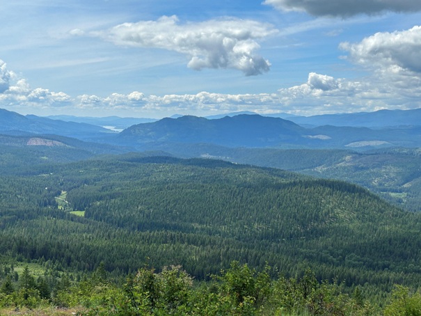
Looking South and East
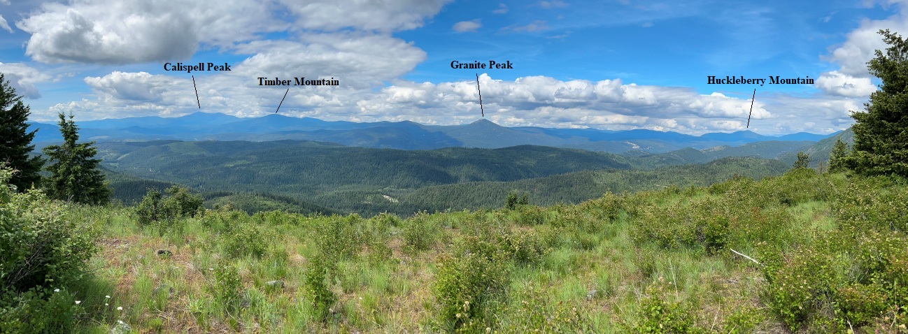
Looking East and North
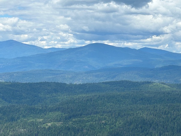
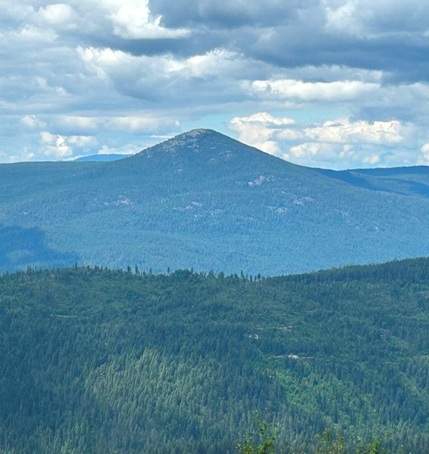
Ruby Mountain
Timber Mountain (standing lookout site)
Cee Cee Ah Peak (former lookout site)
Calispell Peak (former lookout site)
Granite Peak (former lookout site)


