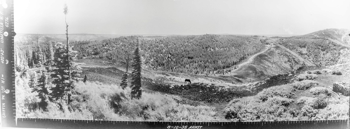
In 1935, panoramic images were taken from a tower, 20 feet above ground and another 3 feet for the tripod. Taken August 19, images show a road to the site with a gate.
In 1938, a tower with an L-4 cab was constructed (says Kresek Inventory).
Tower was abandoned and is now gone.
Lookout Elevation: 5,696 feet
Hiking Distance: Have not visited yet
Elevation Gain: Have not visited yet
County: Columbia
WillhiteWeb.com
Griffin Peak Lookout Site


Southwest 1935
Southeast 1935
North 1935


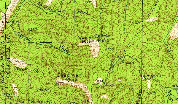
1937 USGS, 1959 update
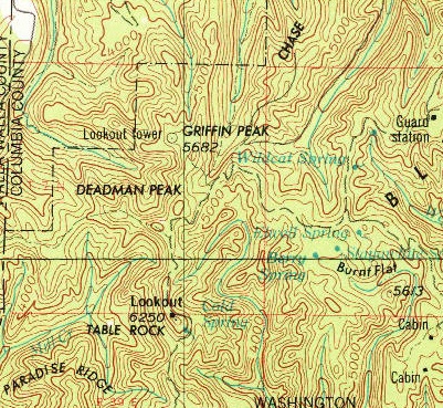
1955 USGS, 1976 update
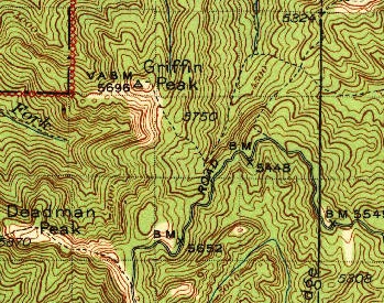
1942 USGS


