Gobblers Knob Lookout
WillhiteWeb.com
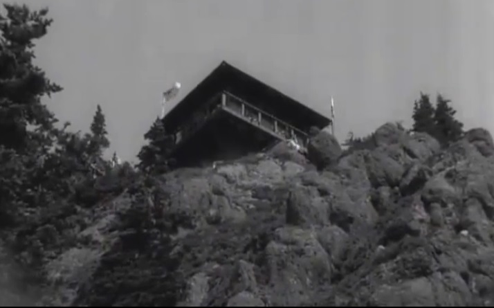
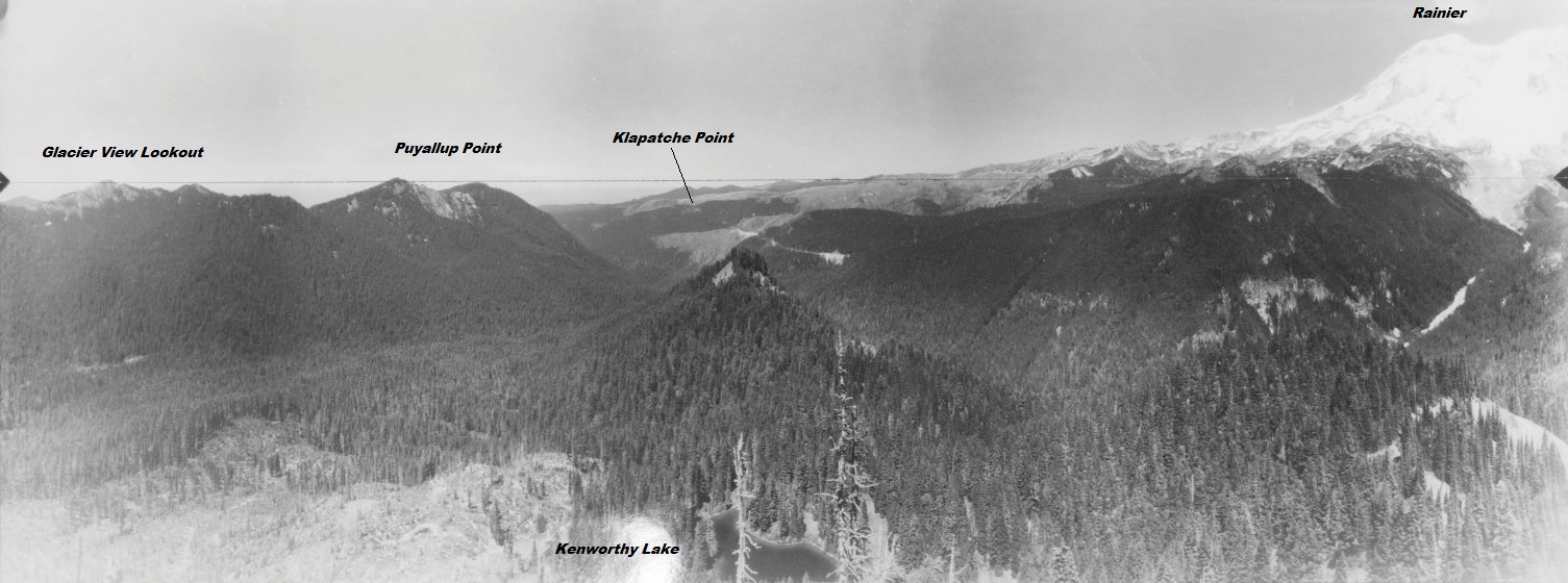
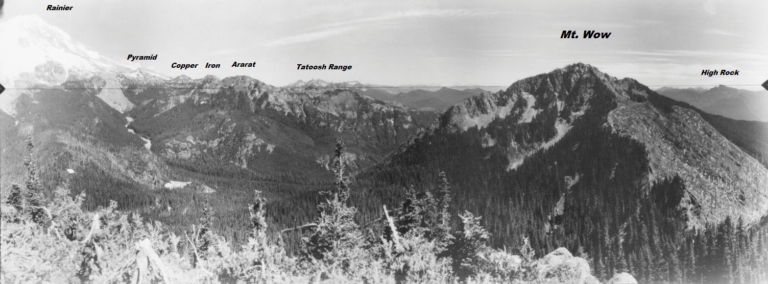
The lookout was built in 1933, under the same contract and manner as Tolmie, Shriner and Fremont. This two-story structure has a 14x14 live-in cab with catwalk. The following year, in 1934 panoramic photos were taken from the building. The cab was staffed into the 1980's.
Lookout Elevation 5,475 feet
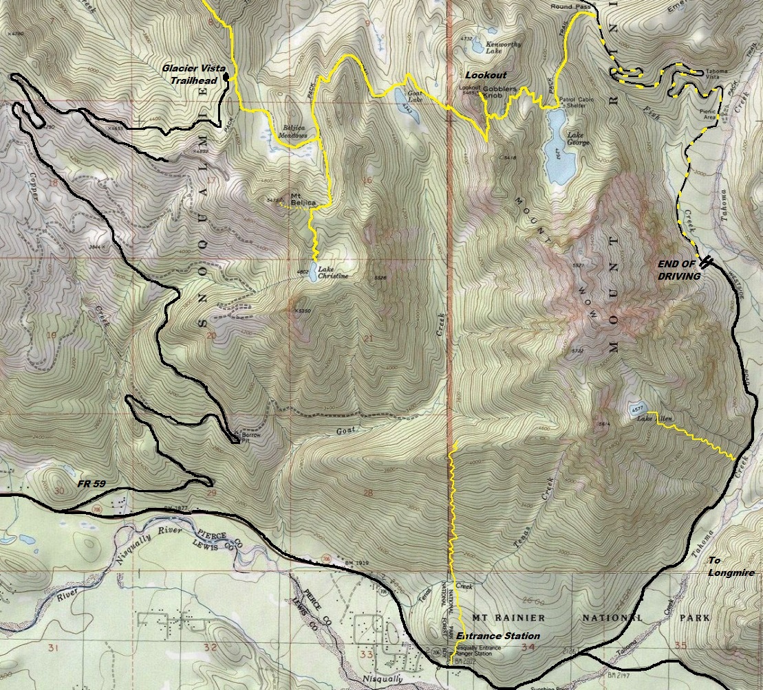
Hiking Distance 5.5 miles one-way (Lake George Route)
Elevation Gain: 2,600 feet (Lake George Route)
Access: Paved
West Side Road Access:
One mile beyond the Nisqually Entrance of Mt. Rainier, take the West Side Road left. Follow it for 3 miles to the closure at Dry Creek. A winter-snow closure exists near the start of the West Side Road.
Forest Road 59 Access
Road Blocked at Highway 7 due to bad washouts on FR 59. Biking road is an option.

Looking SW in 1934
Looking North in 1934
Looking Southeast in 1934
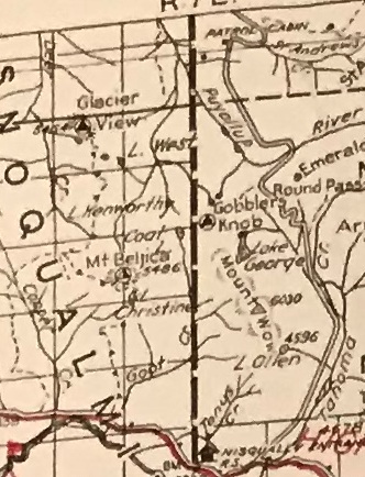
1940 Columbia National Forest map
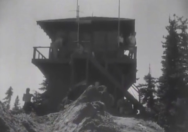
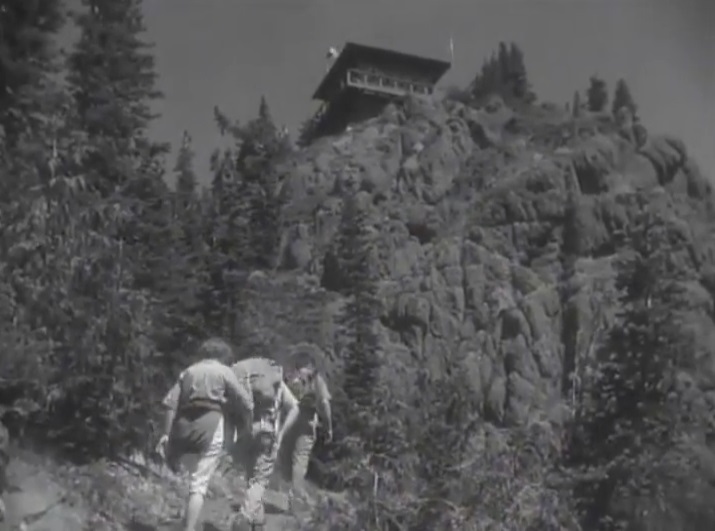
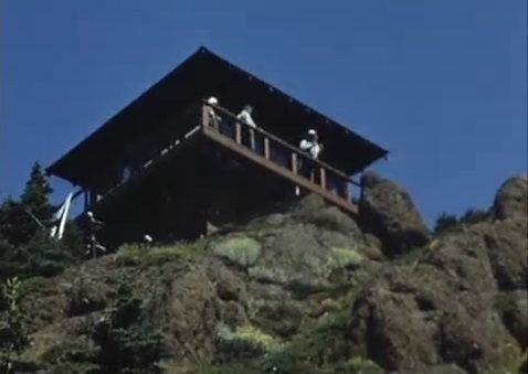
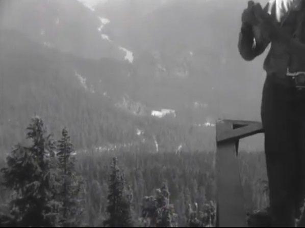
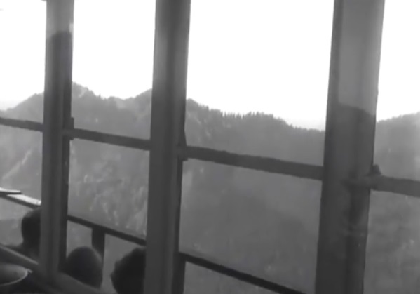
1950s hike up to Gobblers Knob Lookout
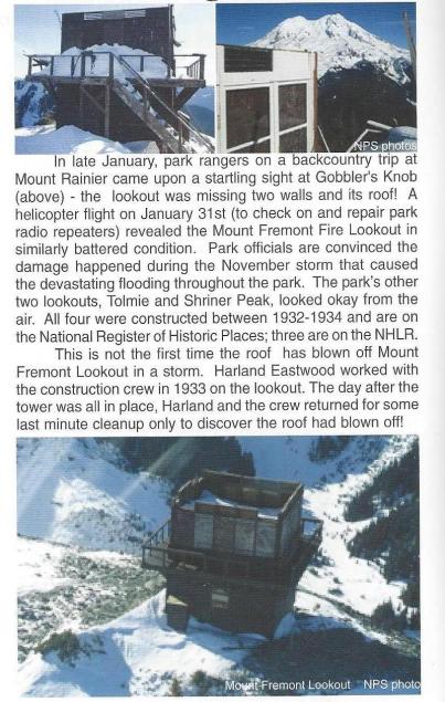
Winter 2007
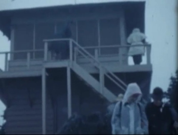
1950s and 1960s images
I have been here twice as a kid but I have no photos since the weather was bad during both visits. So, enjoy these older photos I have collected.


