French Ridge Lookout Site
WillhiteWeb.com
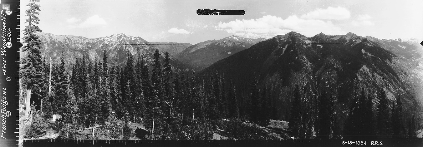
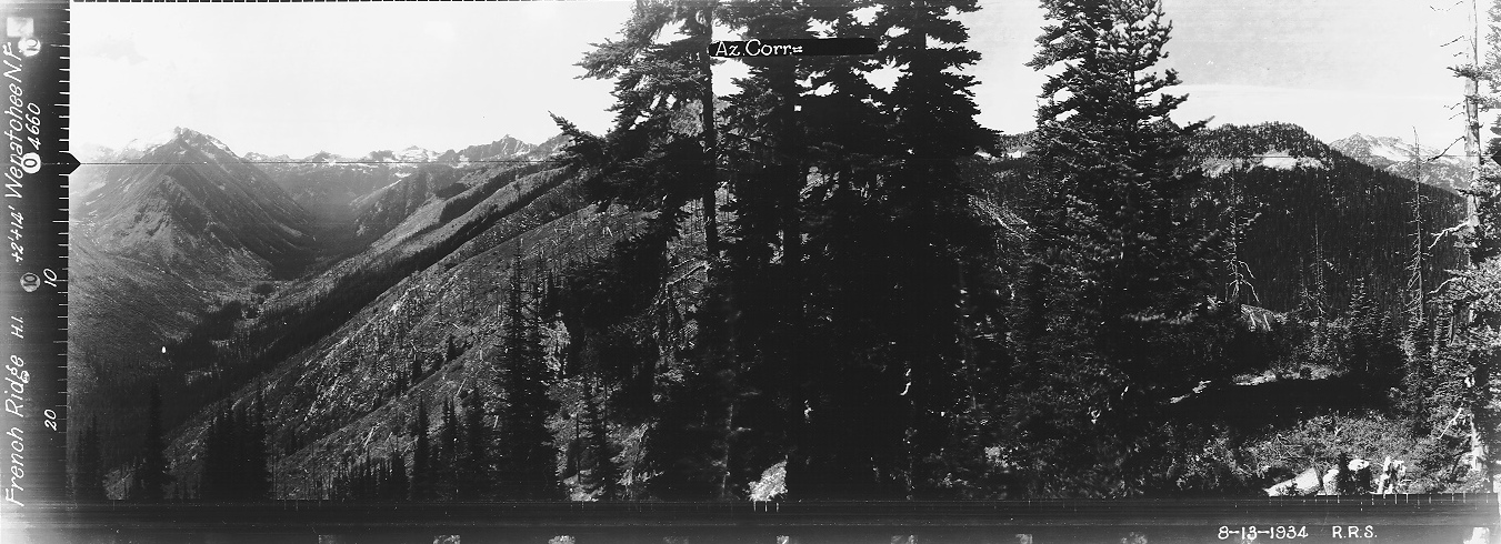
Built in 1934 was an L-5 cab. On June 8, 1934, the Leavenworth Echo news reported that “John Wade and Frank Nixon are packing the French Ridge lookout house in this week. They report as much as 15 feet of snow in places in the high country.” In August that summer, panoramics were taken from the roof (shown below). The lookout was removed in the 1970s
Lookout Elevation: 5,800 feet
Hiking Distance: 6.5 miles
Elevation Gain: 3,500 feet
Access: Any vehicle
County: Chelan
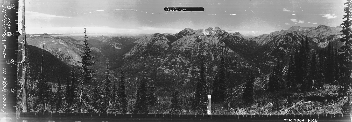
Looking North, August 13, 1934
Looking Southeast, August 13, 1934
Looking Southwest, August 13, 1934
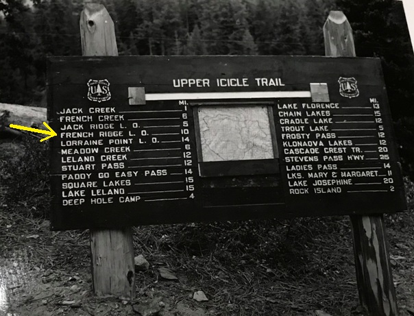
Old sign when road ended near Chatter Creek
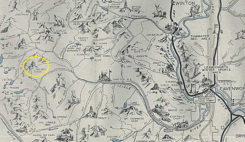
Leavenworth Recreation Map 1930s
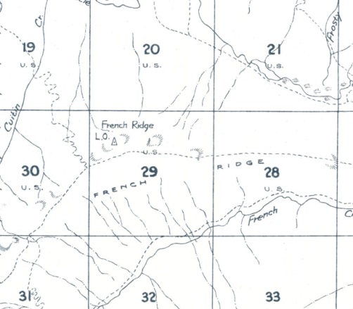
1959 Metsker
Access:
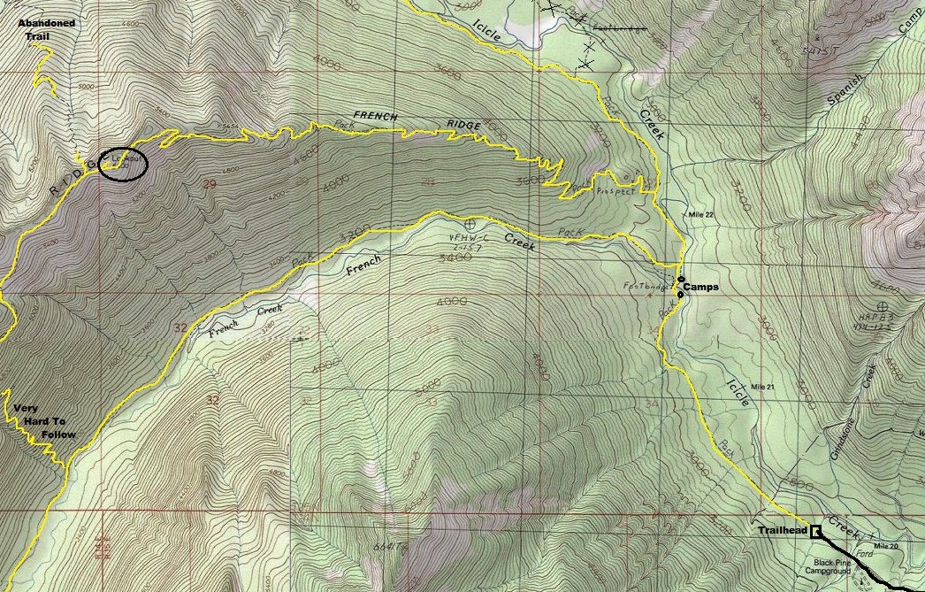
From Leavenworth, take the Icicle Creek Road to the end where there is the trailhead.
Route:
Follow the Icicle Creek Trail 2 miles to the junction with he French Ridge Trail. Follow the French Ridge Trail 4.4 miles to the lookout site. Note the lookout site is above the trail and can be missed. The old spur trail cuts back up to the lookout site after the main trail passes underneath the site. Open slopes allow for you to just charge up the hill to the site.


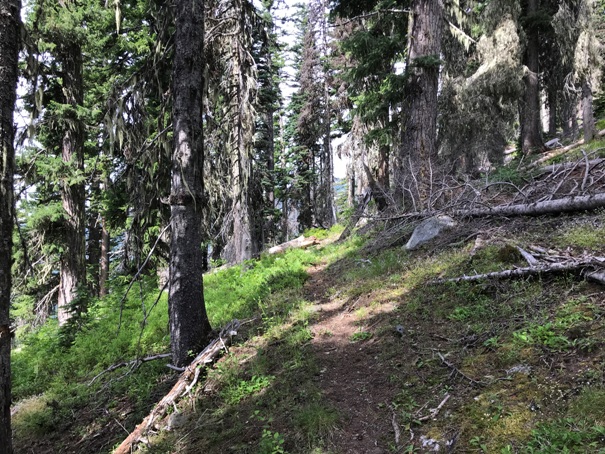
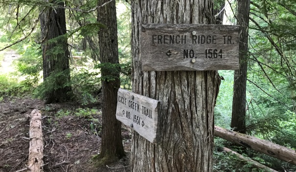




French Ridge Trail turn
French Ridge Trail
Views to the Northeast in 2020 from the lookout site
View to the North from a short distance west of the lookout site
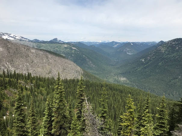
Grindstone Mountain and the Icicle Creek Valley from a viewpoint on the trail
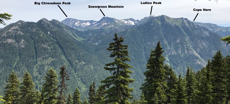
Chiwaukum Mountains from a viewpoint on the French Ridge Trail
French Creek Valley from the lookout site
French Ridge from the lookout site
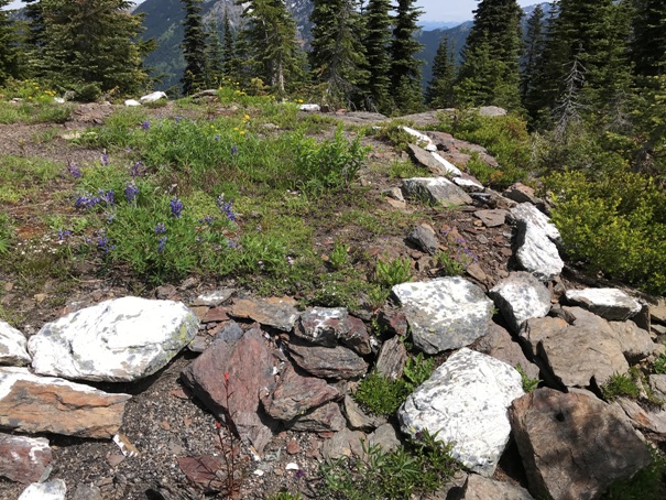
The foundation
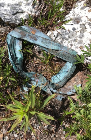
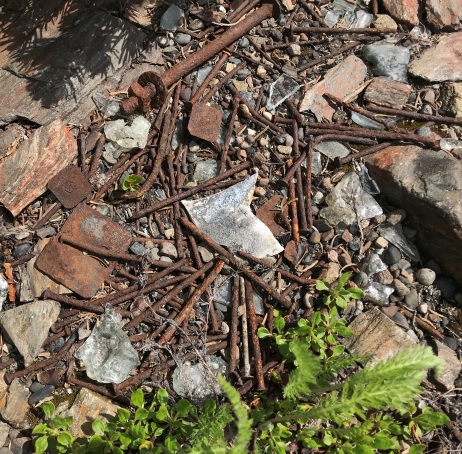
Remains
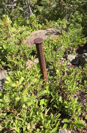
Anchor spike
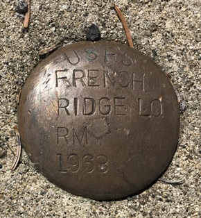
French Ridge Lookout Reference Mark
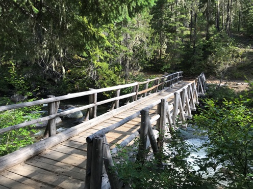
Bridge across French Creek on the Icicle Creek Trail
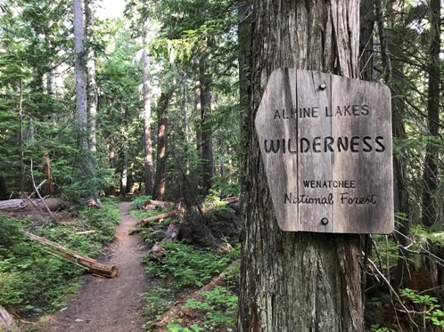
Trail enters the Alpine Lakes Wilderness in first half mile
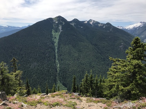
Sixtysix Hundred Ridge
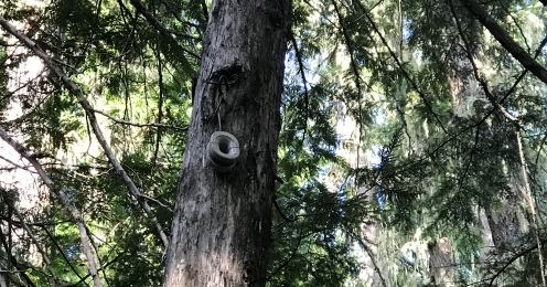
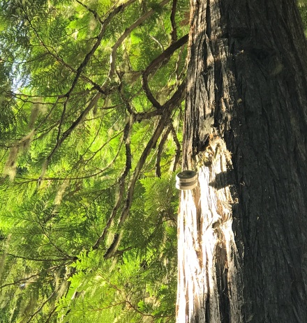
Tons of insulators in the first 2 miles


