Finney Peak Lookout Site
WillhiteWeb.com
This prominent peak has a long history that has slowly been disappearing with time. Once the site of a fire lookout building, then abandoned and destroyed, the trail remained in guidebooks for many years, then fell out of the books, now the roads are becoming overgrown further and further away from the peak. As of now (2023), the main access for years is officially about lost. The road is choked with alder trees for well over a mile. A road washout has pushed the access even further back dashing any hope that volunteers continue to brush out a route.
Lookout Elevation: 5,083 feet
Hiking Distance: 4. 5 miles one-way
Elevation Gain: 2,500 feet
County: Skagit
Access: Good gravel roads




Looking North, August 29, 1935
Looking Southeast, August 28, 1935
Looking Southwest, August 29, 1935
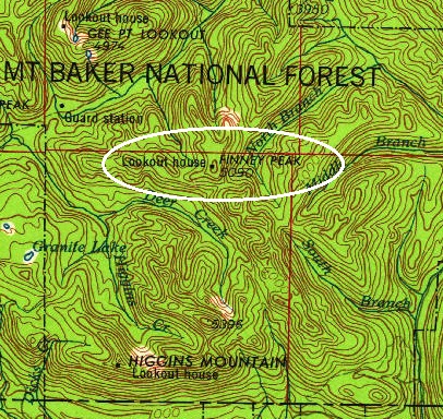
1956 USGS, 1977 update
1966
1958 USGS
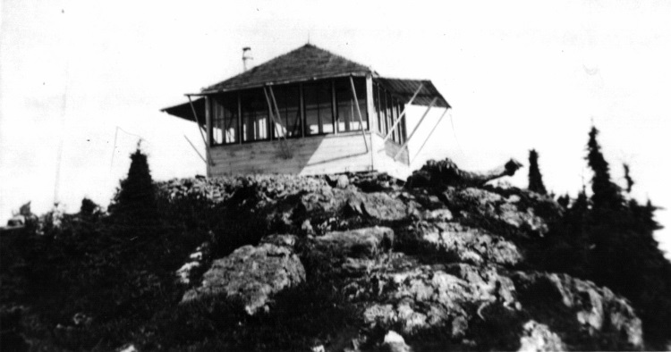
1930s, photo by Engles
In 1933 an L-4 cab was built.
In 1935, panoramic photos were taken from the roof.
In 1950, the USGS visited saying the lookout house is a standard 14 foot square building painted white.
In 1953, the lookout was Rodger Harding.
In 1965 the lookout was abandoned.
In 1983, the USGS visited the site by helicopter and said the lookout house had been destroyed.
Lookout History
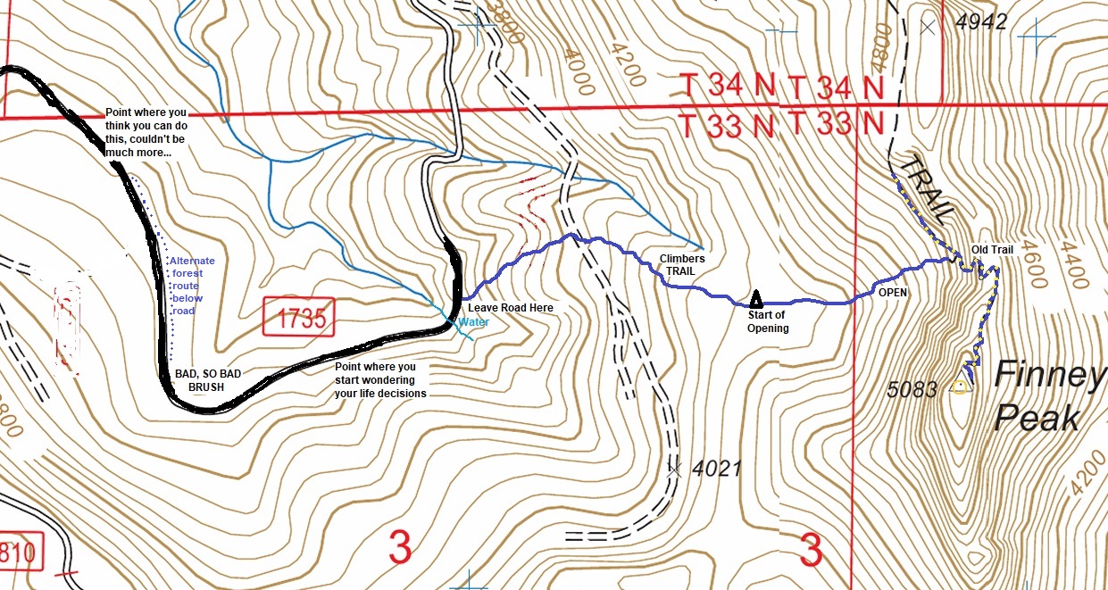
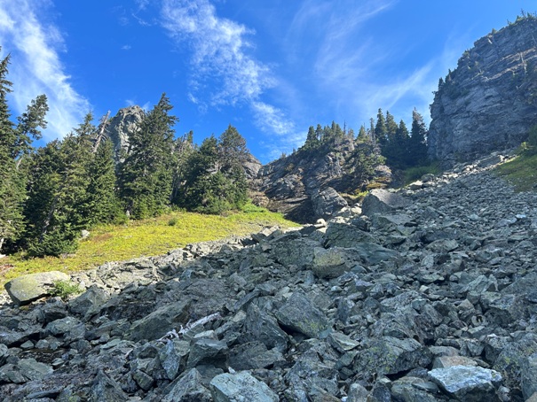
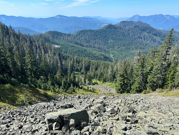
If you can make it up the road to the base of the climbing, the actual route off the road to the summit is not bad at all. The forest in the lower section of the route is easy enough to navigate and even has a brush free climbers trail if you can find it. The trail is hard to find on the way up but easy to find and follow going down. The middle section of the route is an open boulder alpine like area and is enjoyable. Follow the open slopes to the left climbing to the rock wall at the top of the ridge. There you will find the old hiking trail that will sneak you up and over the ridge and to the summit. At this time, I do not see any easier routes. Logging activities in the future could change this, or 10 volunteers with loppers and chainsaws attacking the old roadway for a day. If you do take on the road, at the very worst part, a good section of road can be avoided by paralleling the road underneath in the more open forest.
Route



1966 USGS map
View to the East
View to the North
View to the South
View to the Northwest
View to the Northeast
View to the Southeast
On Left:
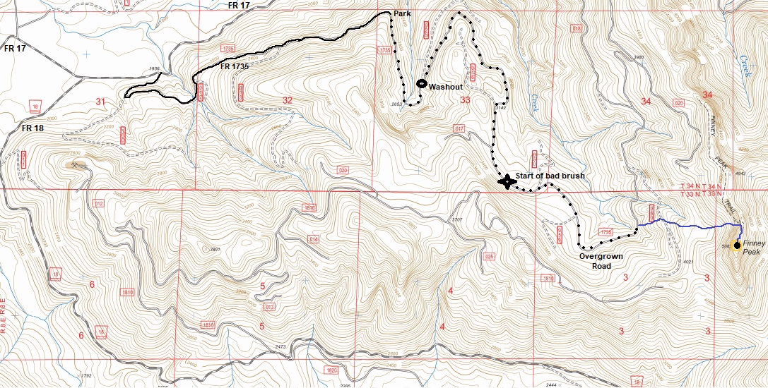
Route in 2023. Likely to change with time
Spot marked at best place to park. In 2023, I was able to push my jeep to the washout but it was overgrown with brush. Washout is passable by risky driver with high clearance vehicle but likely will not be passable for many more years as slide continues to washout. Timber operations could open the road someday but the road washout looks like the type that will not get repaired.
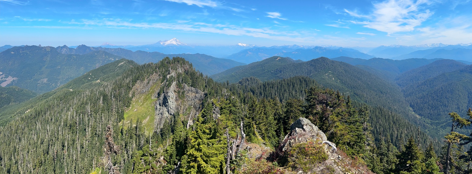
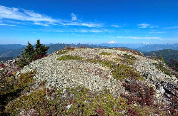
The flat summit of Finney Peak
The old trail comes in from the heather slope on left, goes up tree choked gully on right.
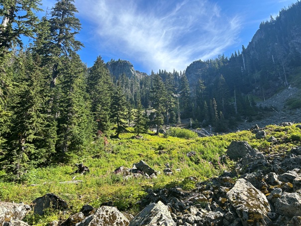
The opening. Now an easy scramble up and left to the base of ridgetop.
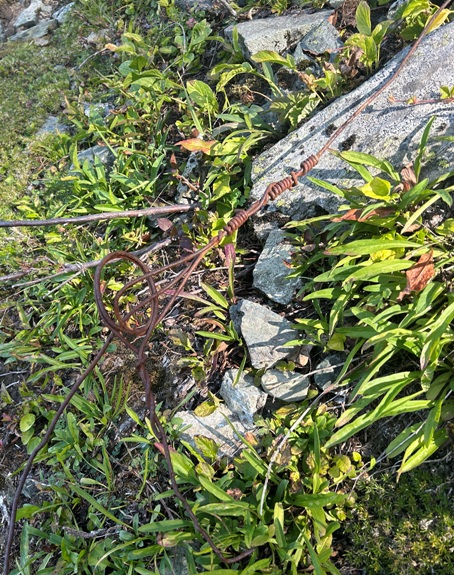
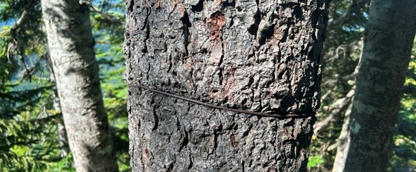
The phoneline runs down the talus slope in picture below.
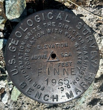
Summit has benchmark and 2 directional benchmarks


