WillhiteWeb.com
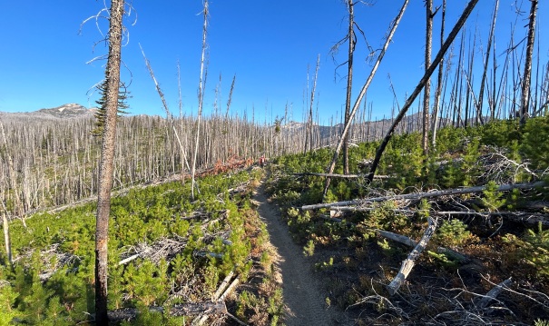
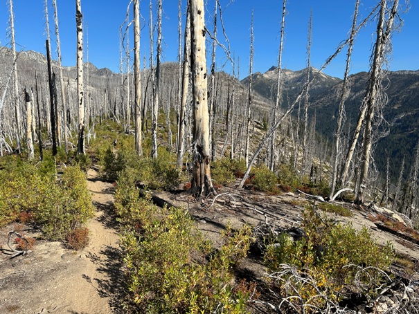
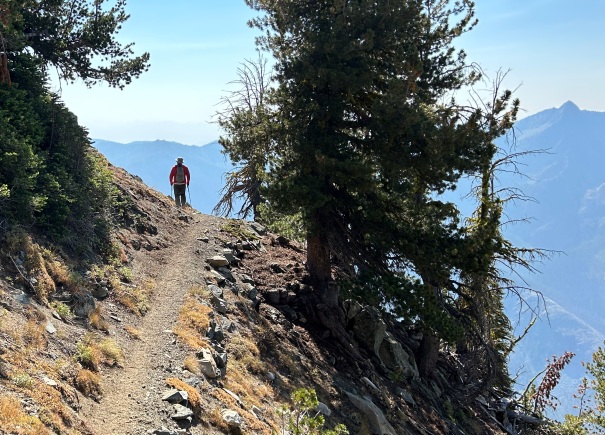
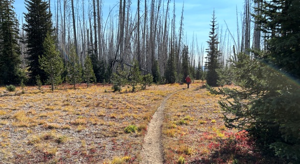
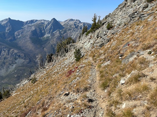
This is a good mountain with a cheesy hill name. Two different trails can take you to a summit that feels quite high and remote, even if it is only the edge of the wilderness area. Unfortunately, the area was damaged by fire in 2015 but this did open up the views for most of the hike. Some of the miles are unappealing in endless burned forest, bring a hat.
Lookout Elevation 7,819 feet
Hiking Distance: 6 miles one-way
Elevation Gain: 3,000 feet
County: Chelan
Access: Good gravel roads
Duncan Hill Lookout Site
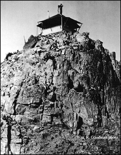
1936 Duncan Hill Lookout
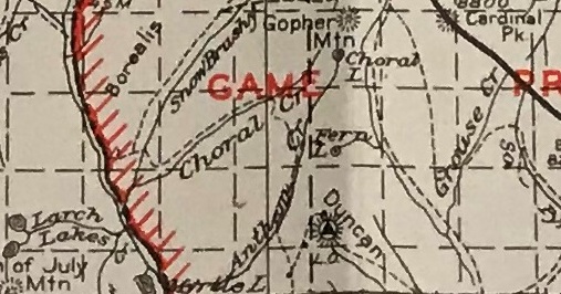
1938 map


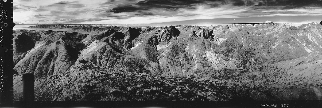
Looking Southwest 1934
Looking Southeast 1934
Looking North 1934
In Kresek Lookout Museum
Lookout History
1923, a cabin was placed on Duncan Hill.
In 1934, panoramic images were taken 17 feet above ground on the roof.
In 1935, an L-4 cab was built on the southerly summit.
In 1967 the cab was destroyed.
Access
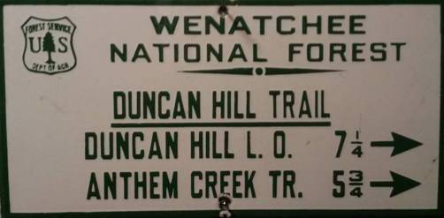
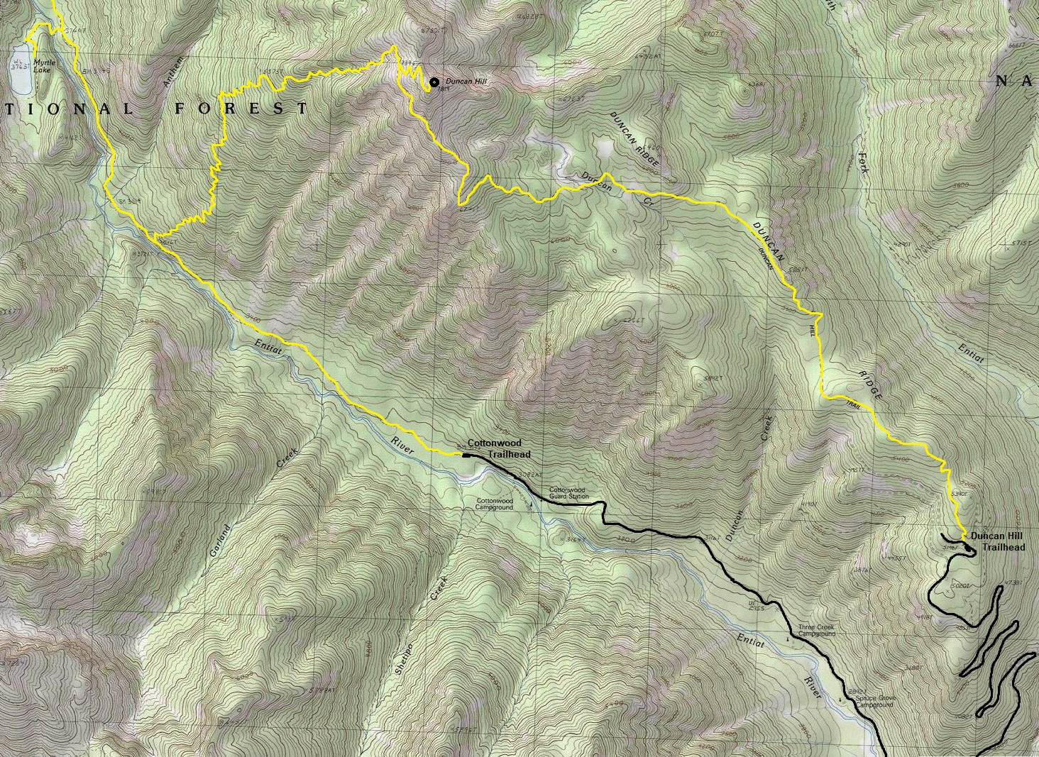
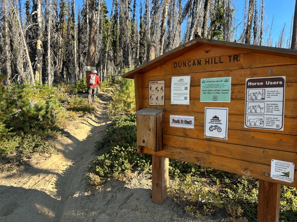
There are two well-maintained trails. To get to the lower trailhead, proceed north up the Entiat River Road about 34 miles and turn right up FR-5608 for six miles. The forest road is in good condition suitable for most vehicles. The upper ridge trailhead is best with a higher clearance vehicle. Turn right on 5608 about a half mile past North Fork Campground. This route is one mile less and has less and has roughly 1,500 feet less elevation gain.
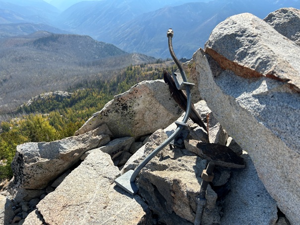


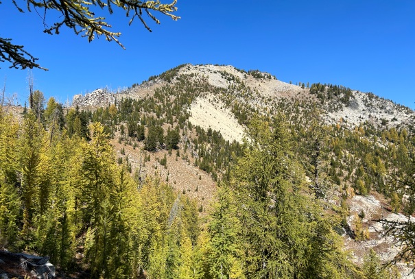
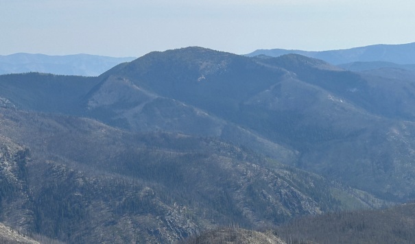
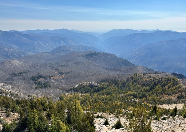
Looking North 2023
Looking West 2023
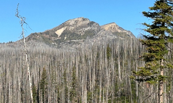
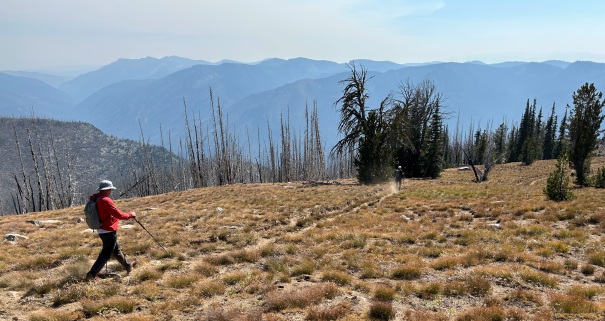
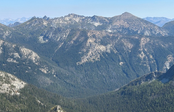
Looking South 2023
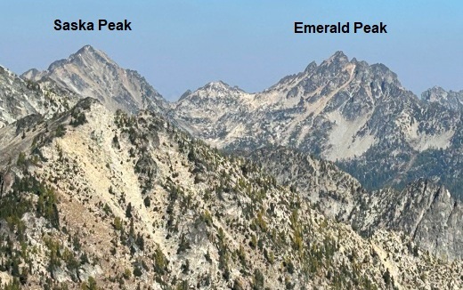
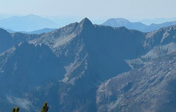
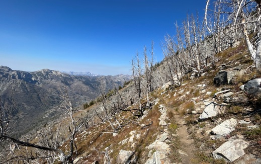
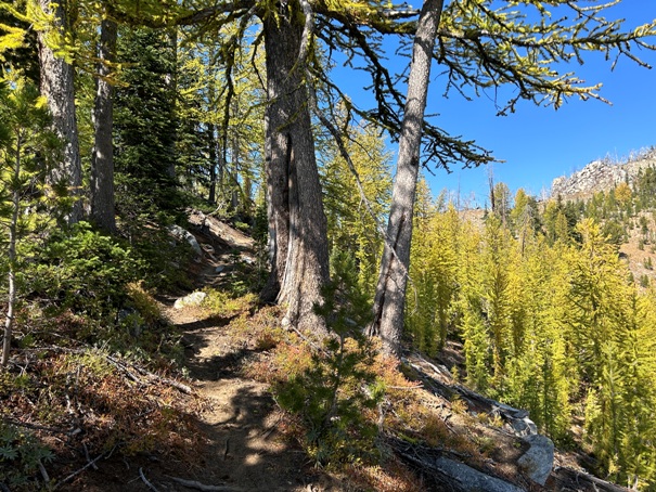
Small pockets that survived the fire
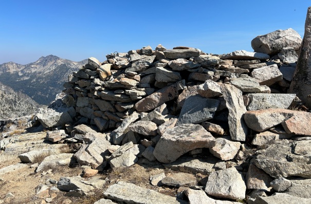
Built up lookout platform
Burned ridge trail
Two Bulgers
Pyramid Mountain
Garland Peak
Crow Hill


