Dry Canyon Lookout Site
WillhiteWeb.com
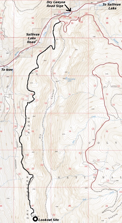
Get yourself to Ione. After crossing the Ione Bridge, take the Sullivan Lake Road toward Sullivan Lake. After roughly four miles, turn right on the signed Dry Canyon Road. Follow this gravel road a short distance to a three way intersection. Turn right on the most right road of the three, the one that looks much rougher than the other two. This road is best for high clearance vehicles with good tires. It would be a long 5 mile or so walk without a vehicle but not particularly difficult to walk.
Lookout Elevation: 3,778 feet
Hiking Distance: 0.25 one-way
Elevation Gain: 150 feet
County: Pend Oreille
Route:
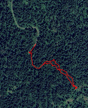
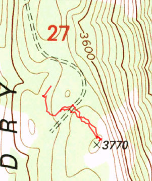
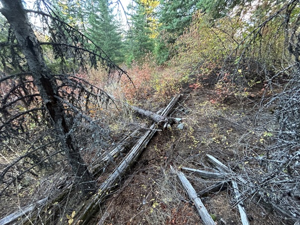
The road just ends in a large grassy area. From here, continue on foot on the old road that is no longer drivable. This will fade out about halfway up to the lookout site. Now just bushwhack mostly easy open terrain until you reach the site.
Access:
Lookout History:
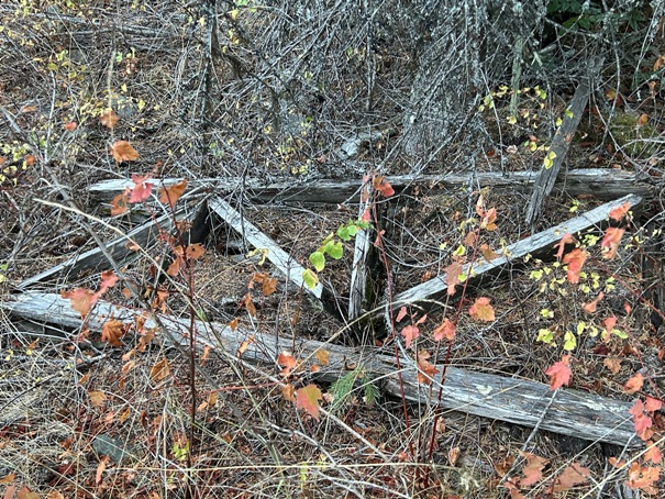
In 1937, a 10-foot pole tower with L-4 cab was built.
The lookout was destroyed in the 1950s.
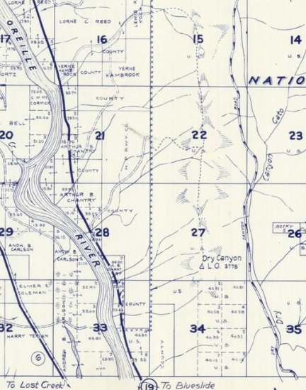
Dry Canyon Lookout on a 1957 Metsker map
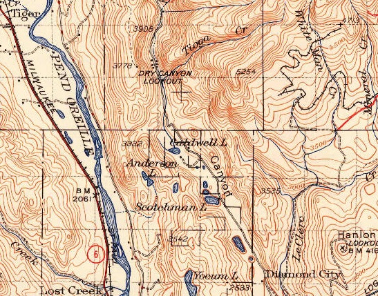
1942 USGS (1958 update)
Road to Dry Canyon lookout site
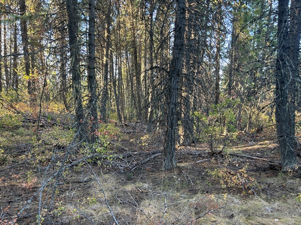
Route from the end of the road
Road ends in different location than the map shows.
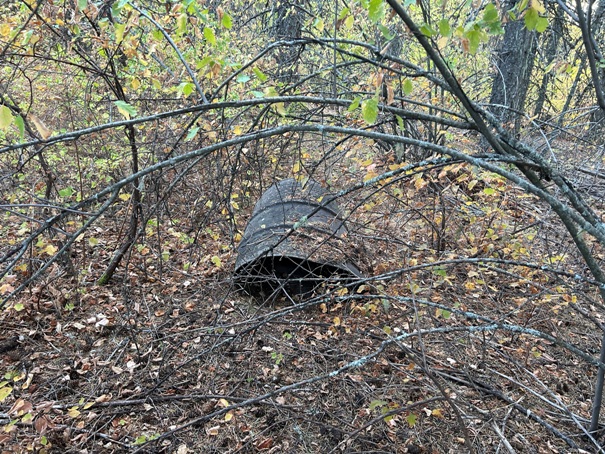
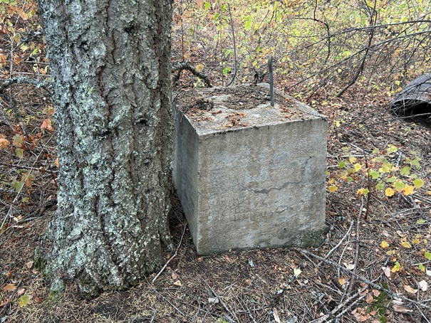
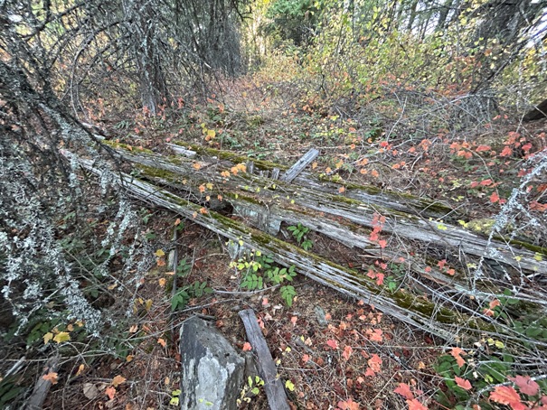
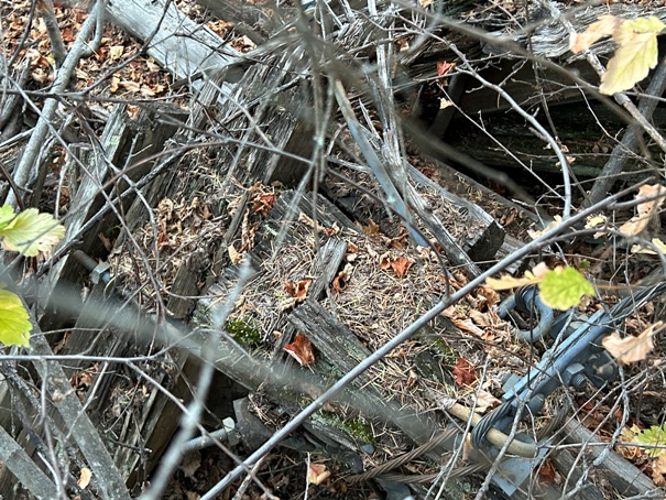
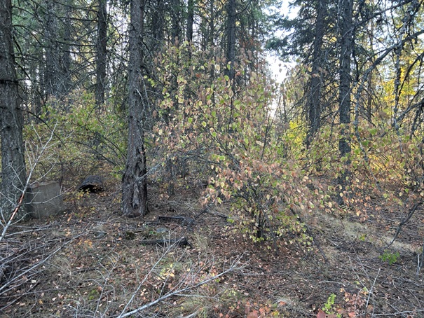
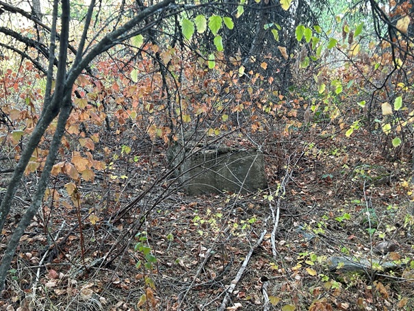
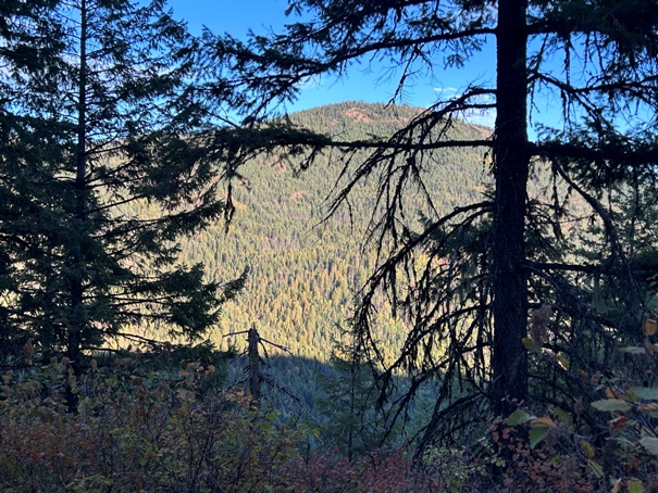
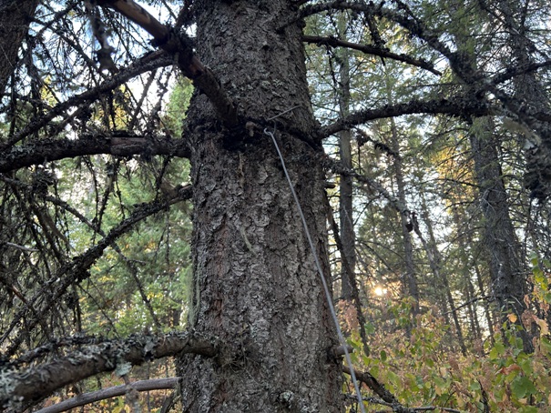
Summit in 2024
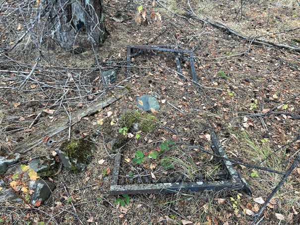
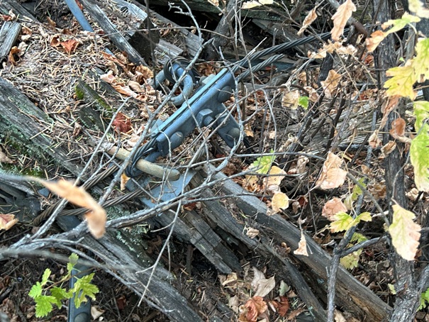
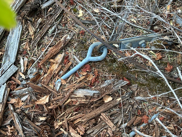
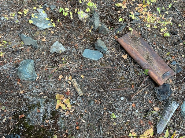
Summit in 2024


