Devils Burn Lookout Site
WillhiteWeb.com
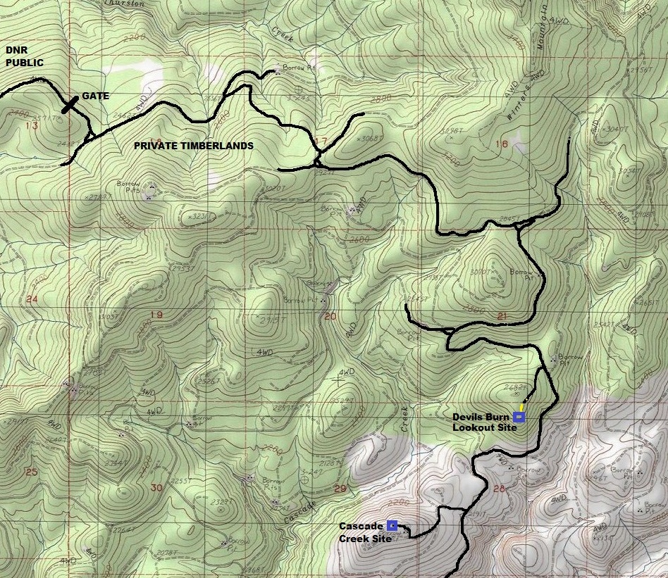
The location of Devils Burn is on a low, prominent point overlooking the drainages of Cascade and Elk Creeks. It is inside the Weyerhaeuser St. Helens Tree Farm. The lookout location is in a old burn area that appears to have happened during the time of the original logging, probably the 1930s or 1940s. The forest was logged a second time in the early 1990s. Thankfully, during the second harvest in the early 90ís, the site seems to have been left somewhat intact.
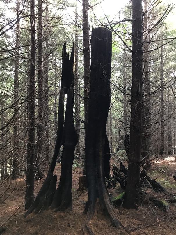
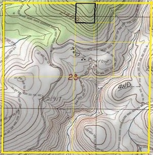
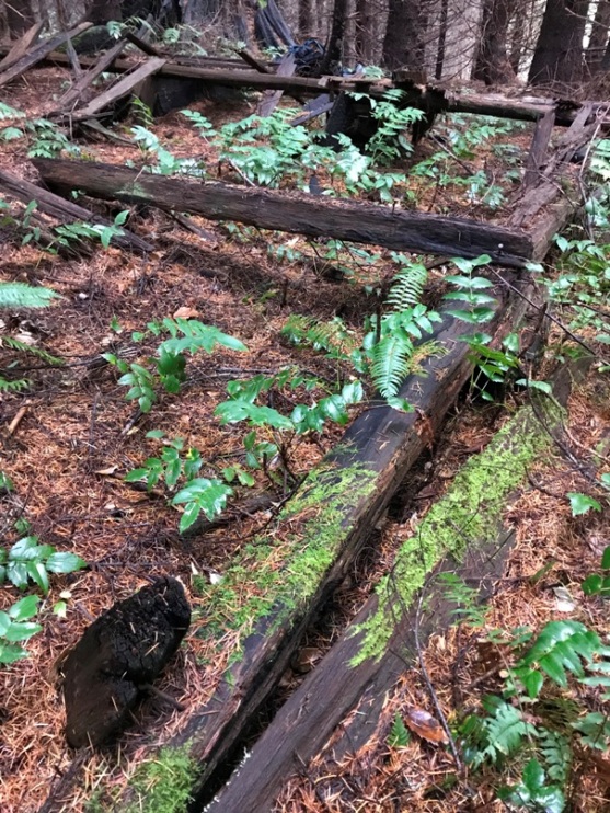
Devils Burn Lookout site was found using 2 pieces of evidence. First was a 1942 list of State lookouts I found in the National Archives. The list gives the location down to the quarter, quarter, quarter section (in other words, a 10-acre area). The second clue was the 1960 and 1975 Metsker maps which show the lookout in the same location. No other maps have been found showing this temporary lookout site. With these two sources, I found the site in October 2020. This Devils Burn site is located at the base of Winters Mountain. There is an image I found in the Washington History Archives labeled as Winters Lookout which I believe is Devils Burn Lookout. My suspicions were confirmed when after finding the ground cabin at Devils Burn, standing next to the cabin was a 15-foot stump with artifacts on it. I do believe that Devils Burn and Winters Lookout are the same. Previously I had investigated the top of Winters Mountain but found nothing matching the image labeled Winters Lookout.
Elevation: 2,640 feet
Hiking Distance: 2 minutes with motorized permit
Elevation Gain: None with motorized permit
Access: Weyerhaeuser Permit Required
Cascade Creek Issue
According to the Kresek Inventory, the location of the Cascade Creek Lookout exactly one mile away overlooks the same territory. The inventory says that Cascade Creek was a 1940s; 8x8 cab atop 15 foot stump, Adirondack shelter. This description exactly matches both the picture and the remains found at Devils Burn. Right now, Iím thinking that the Winters Lookout image, Cascade Creek Lookout and Devils Burn Lookout are all the same. But for now, I have Cascade Creek and Devils Burn as two separate places since it is possible that 2 different lookouts were established overlooking logging operations.
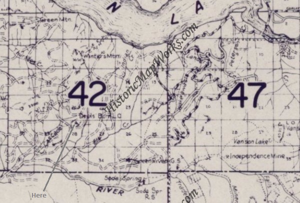
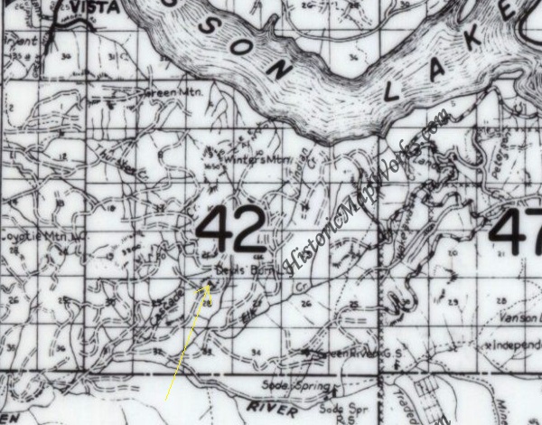
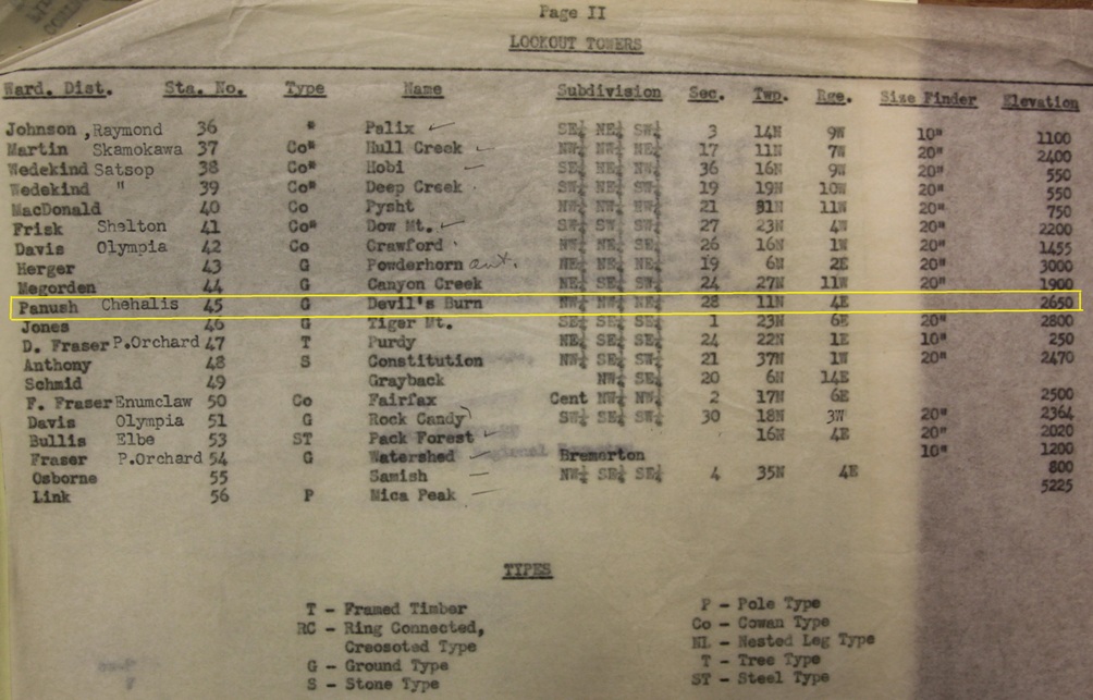
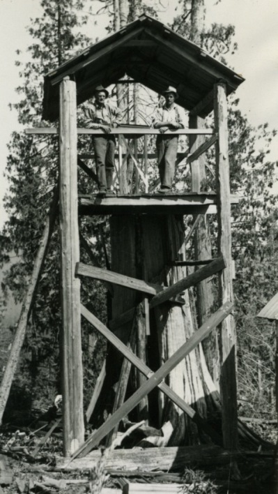
Image labeled as Winters Lookout. It was taken by Lt. Webster who also took images of other Weyerhaeuser timberlands lookouts on the St. Helens tree farm.
Section 28 as given on the this list
1960 metsker map
1975 metsker map
1942 list of State lookouts
Notice the ground cabin roof line.
Notice the ground cabin shadow.
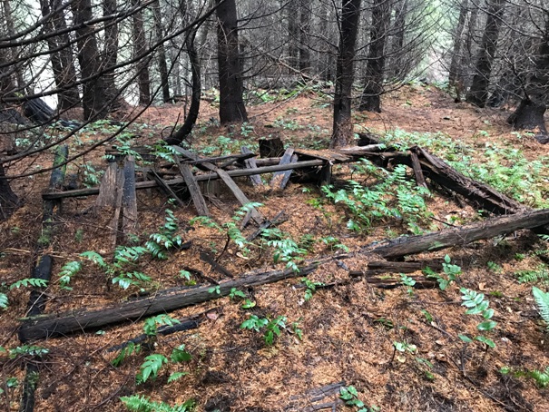
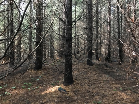
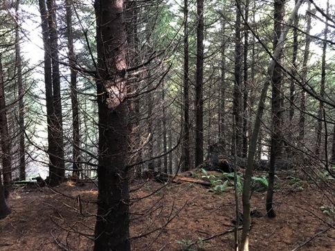
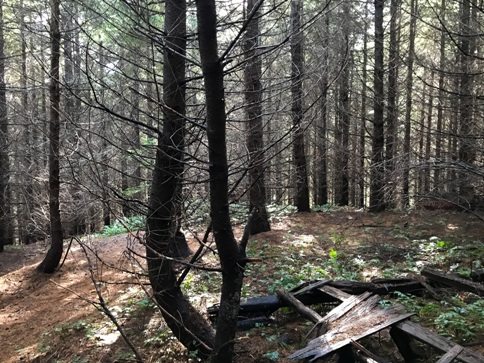
The terrain drops on all three sides from the tree as shown in these images.

SOUTH
WEST
EAST
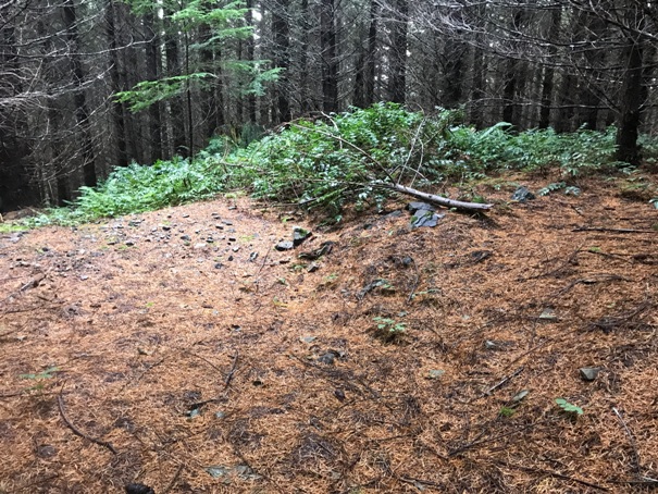
Large flat, compacted and open area at the site indicative of former something here.
Could have been an Adirondack shelter
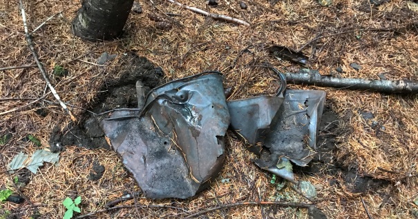
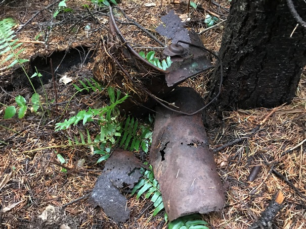
Buckets
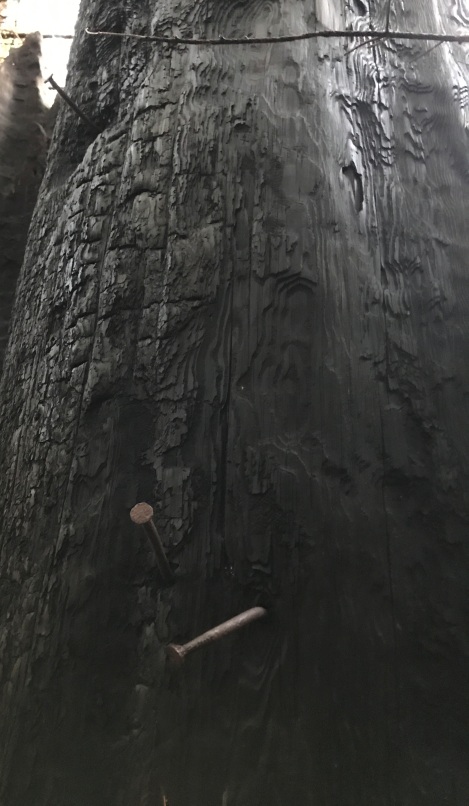
The tree stump after the burn happened
Some of the nails going up the tree from the support boards.
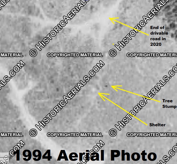
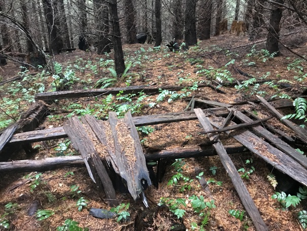
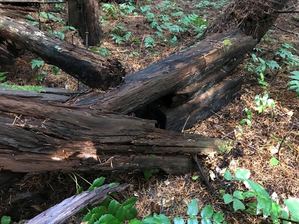
Ground shelter of some kind
The structure was quite long.


