Deep Creek Lookout Site
Lookout Elevation: 605 feet
Hiking Distance: 1.6 miles one-way
Elevation Gain: 430 feet
Access: Seasonal access from Fallar Lake, last Sat. in April to October.
WillhiteWeb.com
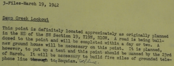
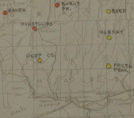
From what I see in the AWS documents, Deep Creek Lookout was probably just being developed and built by the State DNR at the time the AWS needed something in this location. On March 19, 1942, the Aircraft Warning Service was looking for a station in the vicinity of Deep Creek. After a site visit, they wrote the following:
This point is definitely located approximately as originally planned in the NE of the SW Section 19, T19N, R10W. A road is being bulldozed to the point and will be completed within a day or two. A new ground house will be necessary on this point. It is planned, however, to put up a tent and this point should be manned by the 23rd of March. It will be necessary to build five miles of grounded telephone line to Hoquiam.
On March 28, 1942, the Deep Creek aircraft warning station activated.
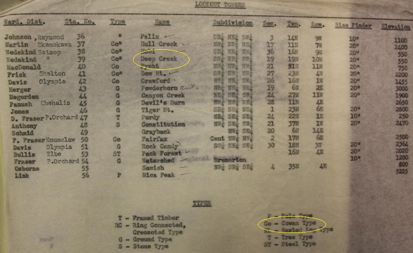
Built was a Cowen Type lookout, a 2-story 10x10 cabin.
At the end of the use in 1944, the AWS reported the following the site utilized existing facilities owned by the State of Washington. The AWS added a 12 x 20 garage to the improvements. At the end of service the site was retained by the state for its original purpose. (from the May 1, 1944 Report of AWS Stations)
September 18, 1952: "The Montesano office of the division of forestry Tuesday announced that it has closed three lookouts for the rest of the season. One of the three was Deep Creek, closed on September 13. They were closed because at this time of year the ocean fog hangs over, making them useless. The lookout was tended by Frances Getty, Copalis Beach." (The Daily Chronicle)
In 1953 the USGS reported the lookout was a two story wooden structure 10 by 10 feet at the base and about 25 feet in height. They said they used a 64 foot steel tower to take measurements.
In 1954, the Kresek inventory says a 40 foot wooden DNR live-in tower was built. The USGS confirm this saying during a 1954 visit that the lookout house was torn down and a new tower approximately 15 feet west is being built.
May 30, 1957: "The Deep Creek forest fire lookout now is in operation, the second to go on active status in Grays Harbor county this year, it was reported Wednesday by O.B. Wedekind, district supervisor for the state department of natural resources. Mrs. Dorothy Smith of Porter is on duty at Deep Creek. The Minot peak lookout, south of Elma, was manned earlier, and Artic lookout is being prepared for service, Wedekind said." (Centralia Daily Chronicle)
In 1961 the USGS says one of their station marks was destroyed likely when the new lookout was built.
In 1964 a USGS party said the lookout house has been torn down and a new tower built about 30 feet west of the original location.
In 1968, the tower was removed or destroyed.
In 1970 the USGS said the lookout house has been torn down and there are no plans of replacing it.
In 1974, the USGS said the lookout was torn down but some of their benchmarks were still there.
In 1982, the USGS benchmarks were still there but the USGS was told they would soon be destroyed and the propery owner requested new benchmarks be established in the vicinity.
Most of the summit was completely removed and is now a deep gravel pit.
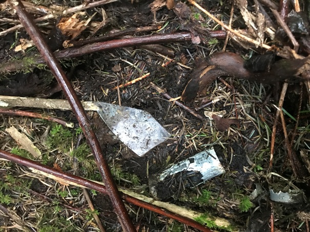
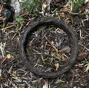
In 2020, what is now the edges of the former summit, we did find a battery similar to other lookout sites, flat glass and some metal items.

1930s
AWS observers
New site
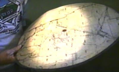
Ray Kresek holding the 1946 firefinder (taken from a video)
List of State lookouts in 1942
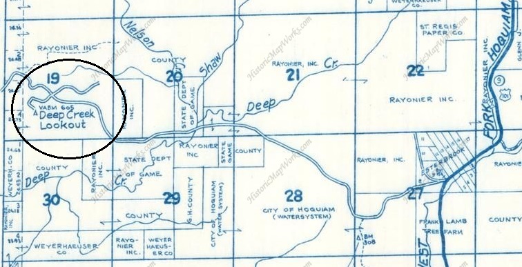
Metsker
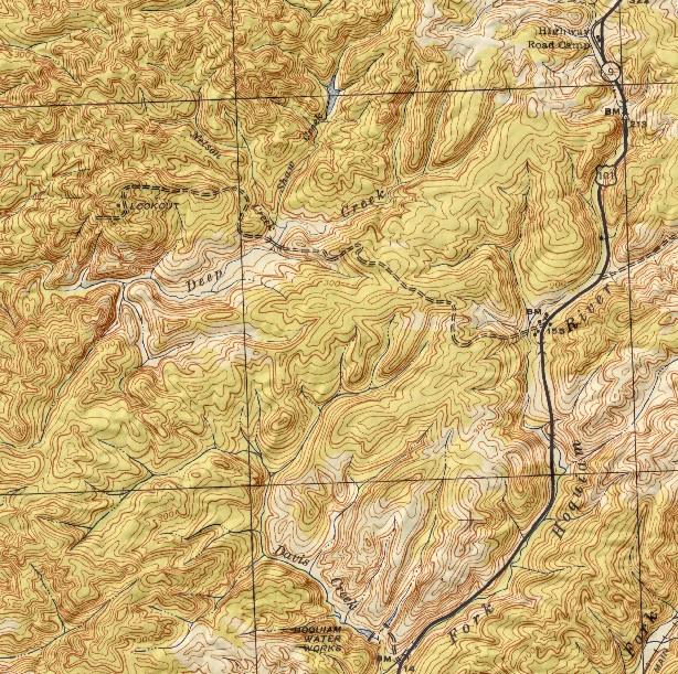
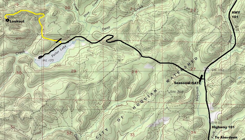
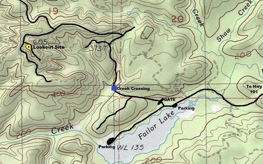
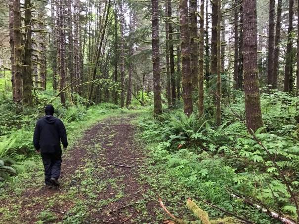
A private timberlands permit is officially needed to do this hike although your chances of running into anyone is very slim. The gated road near Failor Lake starts off in the watershed and soon hits a creek crossing. The road crossing of the creek is abandoned. Find a foot bridge across the creek to the right. Once across, use map provided for roads to walk.
Access:
Route:
The watershed gate at Highway 101 north of Hoquiam is open the last Saturday in April to October or Labor Day. The gate is locked in winter with no access allowed. A Discover Pass is needed to park at Failor Lake. The first parking area is closest to the private timberlands gate.

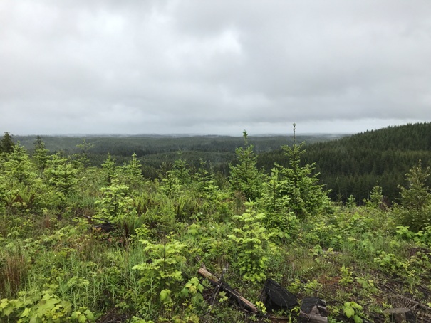
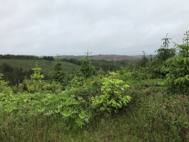
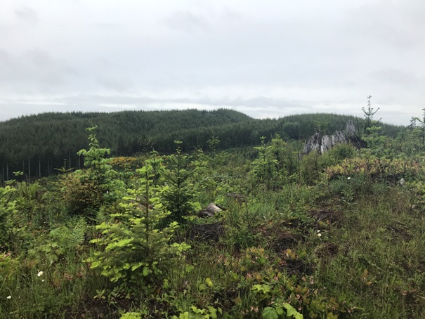



Looking over to the area of the lookout site
Just starting
Views along the way
Views along the way
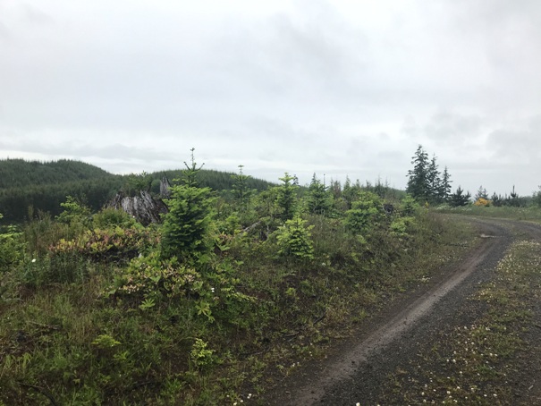
Walking the road
Glass (left), battery (right)
Some telephone bills during AWS in 1942 and 1943
A metal ring near the battery
Access map to get to Failor Lake, a popular fishing location.
Hiking route possible from Failor Lake
Map used by AWS


