WillhiteWeb.com
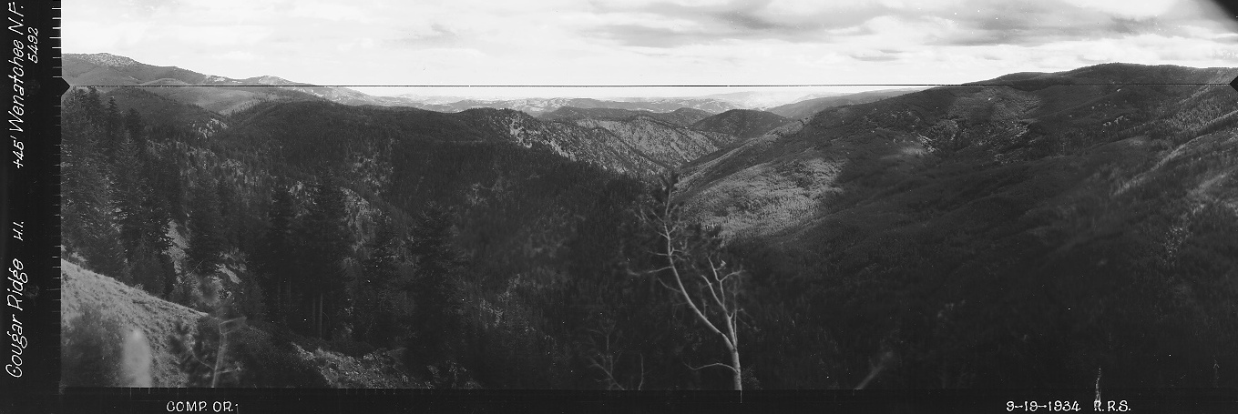
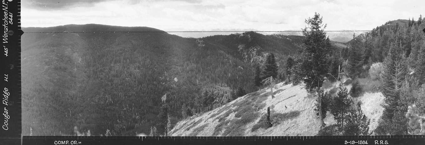
This location was likely a patrol point with the Cougar Mountain lookout house. Had it not been for the panoramic images taken on September 19, 1934, we would have no idea about this crow’s nest. The images were taken at 45 feet above ground. This site is not on any list, nor have I found it on any maps. A horse is visible in the images too.
Lookout Elevation: Around 5,280 feet
Hiking Distance: Depends. Mine was 3.5 miles from Mad River
Elevation Gain: Depends. Mine was a 700 loss, then a 1,800 gain
County: Chelan
Cougar Ridge Lookout Site
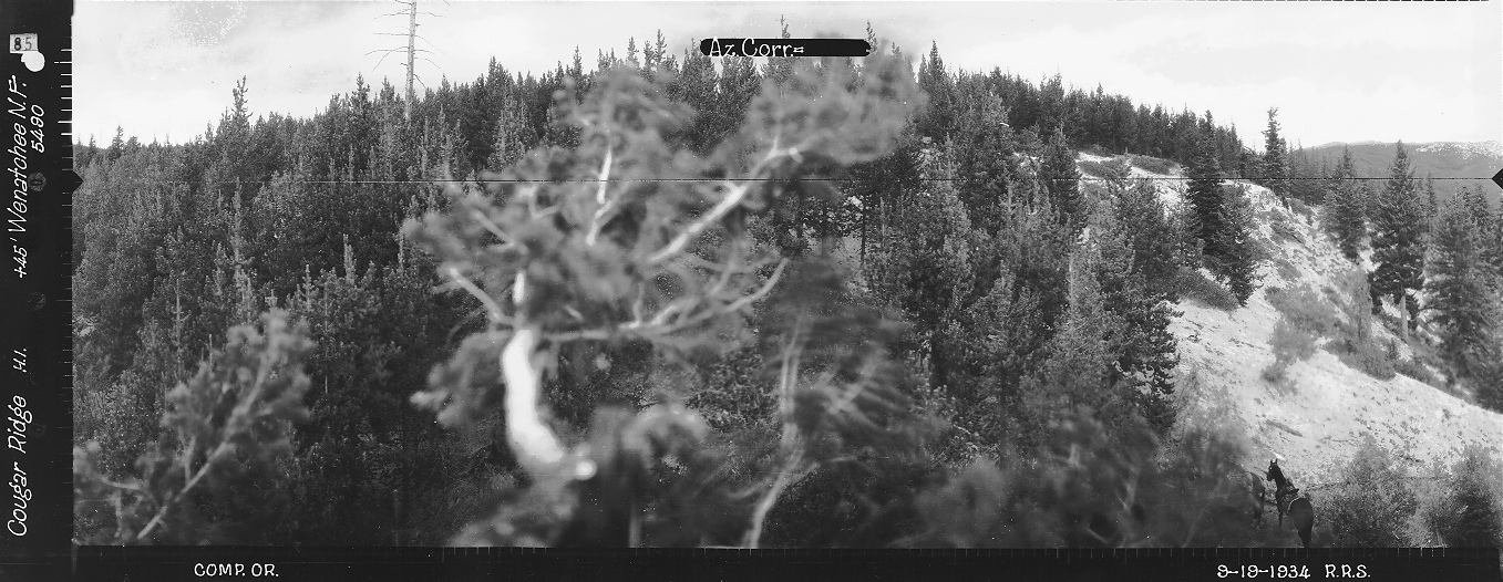
Looking Southwest 1934
Looking North 1934
Looking Southeast 1934
2020 Site Visit
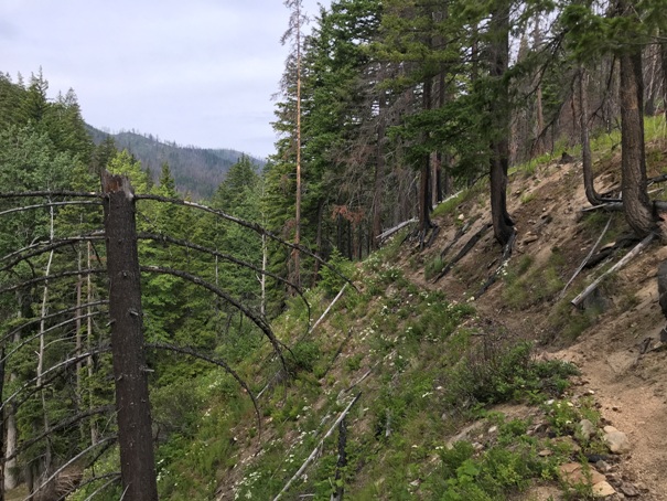
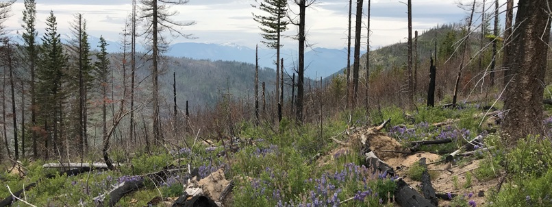
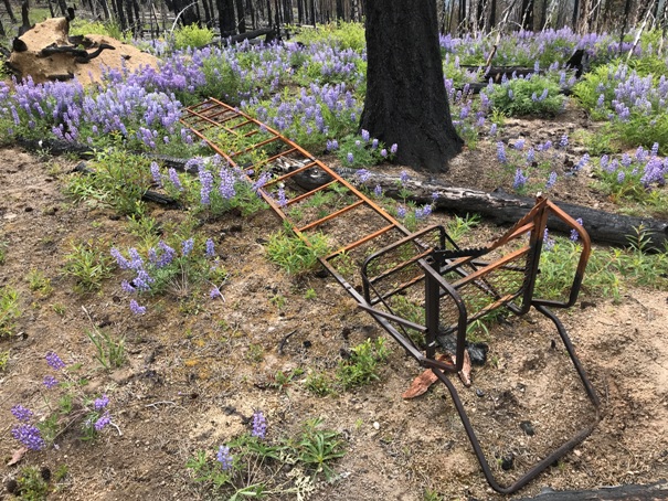
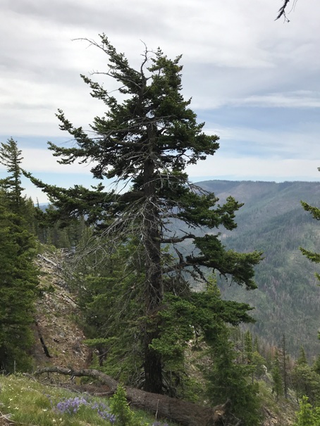
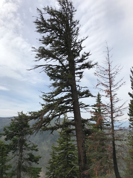
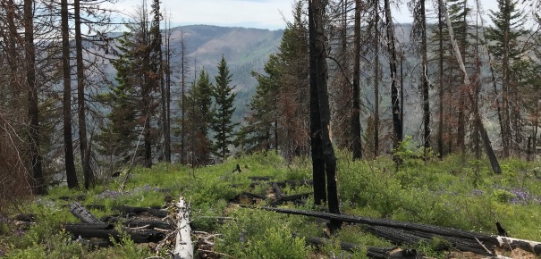
The area to search is difficult due to so many down trees. The 2018 Cougar Creek fire destroyed much of the ridge but even prior fires may have removed the lookout tree. I did not see any tree with signs of use. Looking for the tree on the ground proved difficult due to how many trees are on the ground. It was likely gone anyway. Ironically, not far from the search area was a hunter tree stand ladder that was 20 feet in length. It was pretty rusted out, but the stand did not appear to be old enough for the 1930s or 1940s, but I am no expert. Another set of eyes might be nice to check out the area, but in general, the location is not very exciting to visit.
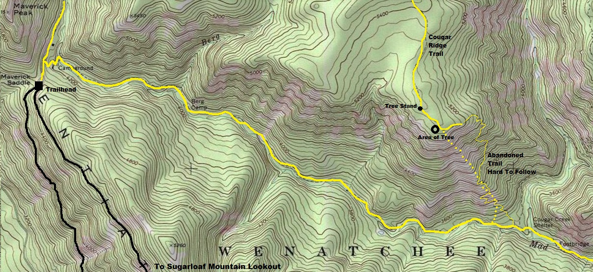

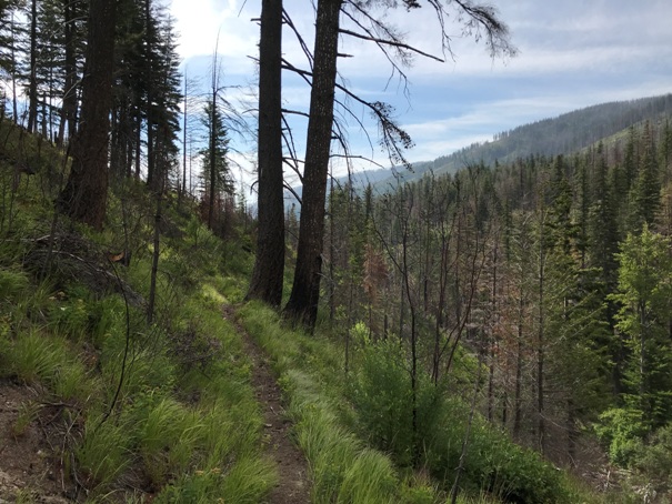
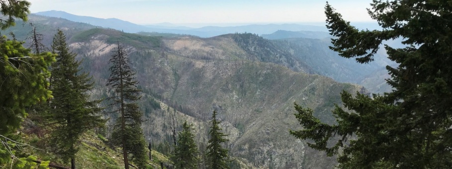
Looking East 2020
Looking Southwest 2020
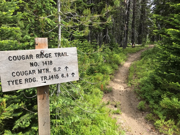
Sign nearby calling this the Cougar Ridge Trail
Looking at trees like these
20 foot hunter ladder
Looking South
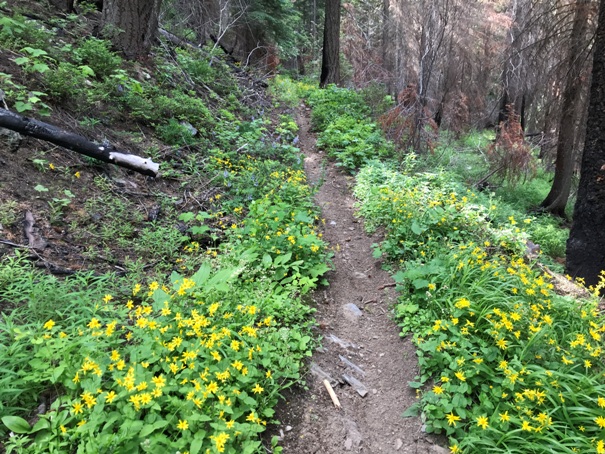
Mad River Trail
Mad River Trail
Mad River Trail
Old Berg Creek Sign


