WillhiteWeb.com
In 1921, Cougar was started as a lookout camp.
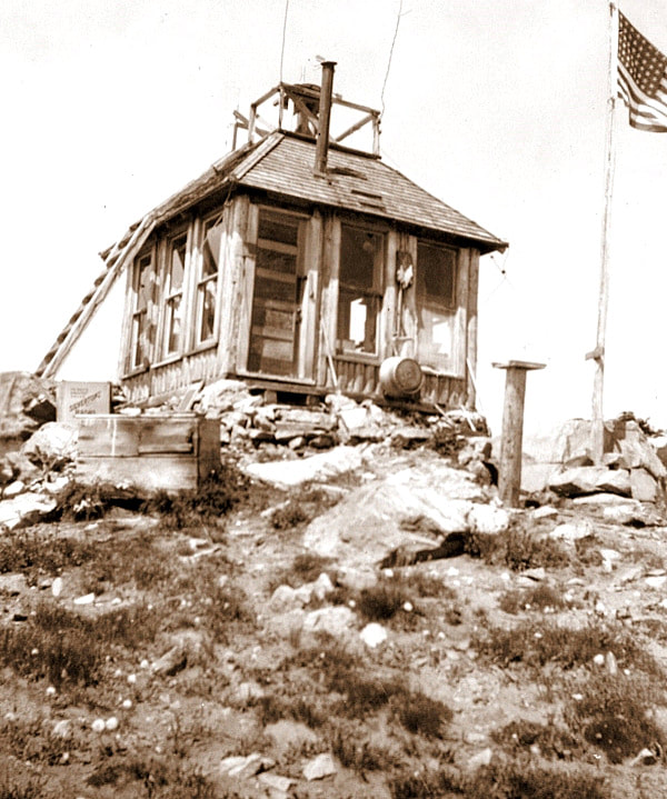
In 1930, a log cabin with roof platform was built. The Wenatchee Daily World reported this saying, “Seven new cabins will be built within the national forest this year, A.H. Sylvester said, including a lookout cabin on Cougar Mountain, southeast of Mad lake.”
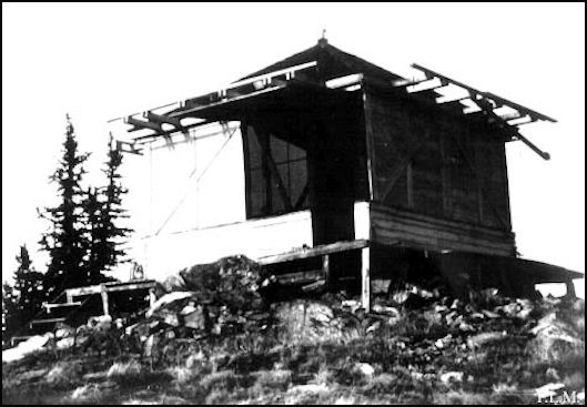
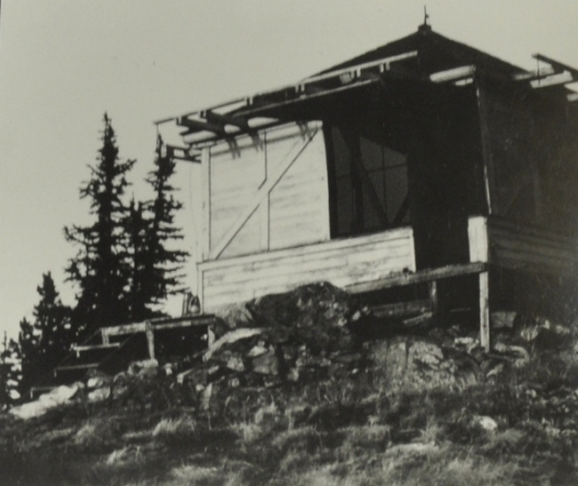
In 1934, panoramic images were taken from the roof of the cab.
In 1937 an L-4 cab was built.
In 1950, the USGS said the lookout was at the highest point, a standard 14-foot square wooden building, on the ground, with a v-type roof that is about 12 feet above the ground.
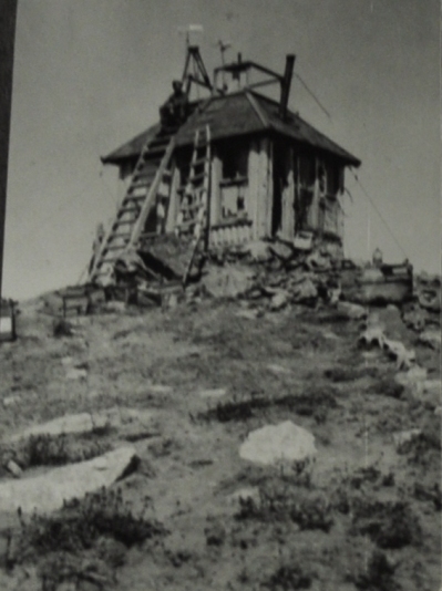
In 1969 the L-4 cab was destroyed.
Lookout Elevation 6,701 feet
Hiking Distance: Roughly 5 miles one-way
Elevation Gain: 2,500ish
County: Chelan
Cougar Mountain Lookout Site
Access:
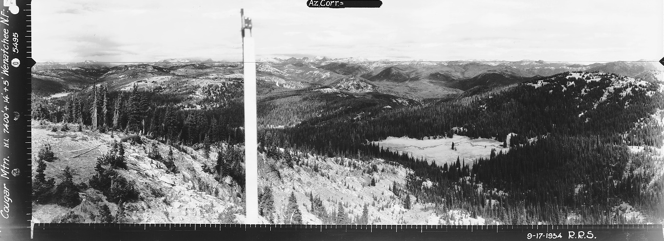
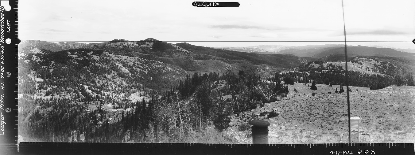
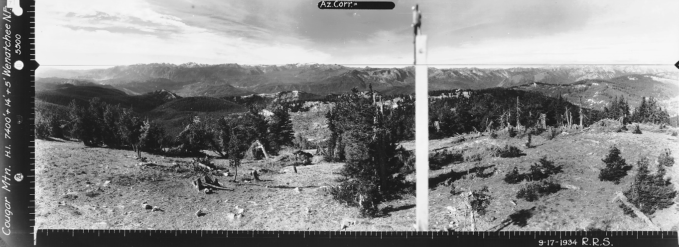
Looking North 1934
Looking Southwest 1934
Looking Southeast 1934
Chelan National Forest 1931
1934 William Goodman
Cougar Mountain Lookout 1969
Same image as above
Original Cougar Mountain Lookout
Chelan National Forest 1938
From Coles Corner on Highway 2, take Highway 207 toward Lake Wenatchee. Go about 4.5 miles and just past the Wenatchee River, veer right on the Chiwawa Loop Road. Drive past the Midway Store and just past the Thousand Trails Campground turn left on road #6100 which becomes dirt in 200 feet. Follow this to a T intersection, turn right on road #6101, and follow this for about 6.5 miles to Maverick Saddle. Park at Maverick Saddle. The final narrow twisty road to reach the saddle is best with a vehicle with some high clearance although you could push a regular car up the road if desperate.
Route:
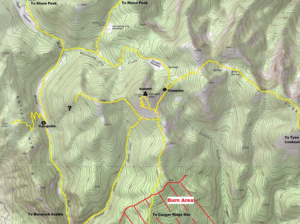
Leave the trailhead and drop down the old road to the old campground. Hike the Mad River Trail northbound to the Jimmy Creek Trail split shortly after the 1 mile mark and bridge crossing of the Mad River. This trail will take you to the south side of Cougar Mountain. Turn left at the Cougar Ridge Trail and soon find the sign for the Cougar Viewpoint. The motorcycle trail does a ton of switchbacks while gaining small amounts of elevation. You can just charge straight up or find the old hiker trail shortly after the viewpoint sign. This upper Mad River Trail has a seasonal closure in late spring/early summer to everyone but hikers. This is the best time to visit. If you do hike in from Maverick Saddle, be sure to return by going in a loop around the north side of the mountain to return back. It's more miles but makes for a loop trip.
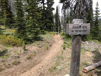
Sign for Cougar Mountain Viewpoint
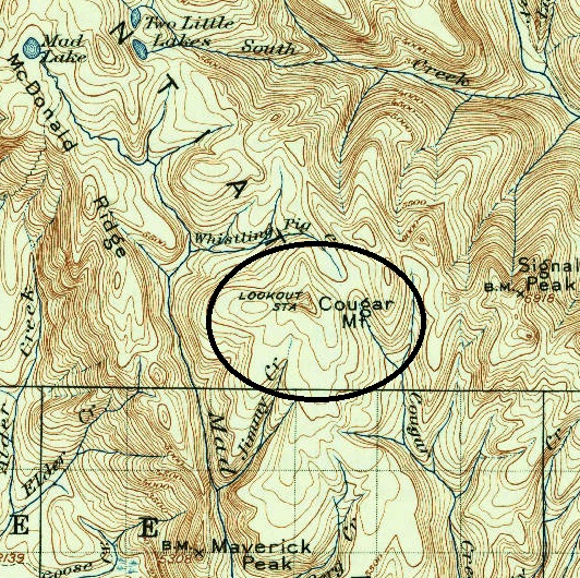
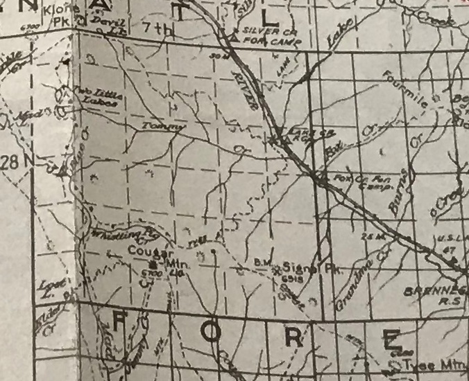
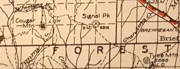
USGS 1904 map with 1934 updates
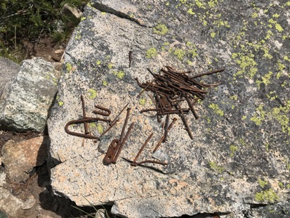
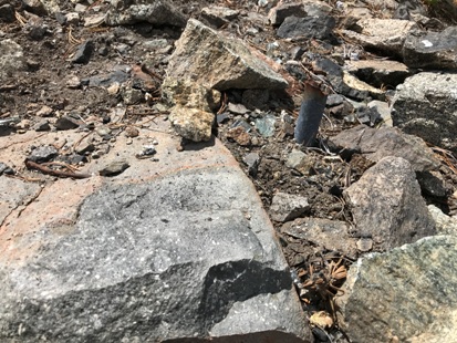

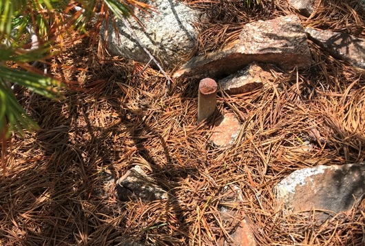
Footing under the ground
Phone
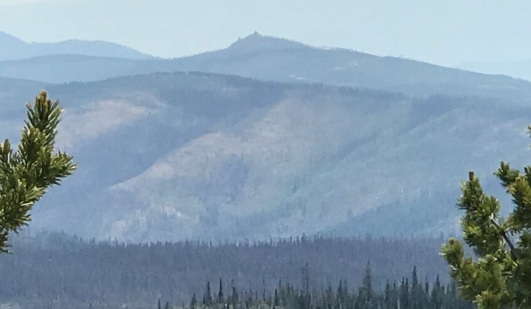
Sugarloaf Mountain Lookout in the distance
Tyee Ridge, Signal Peak
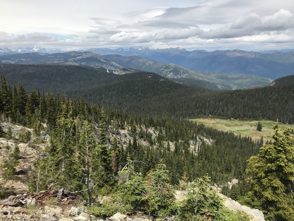
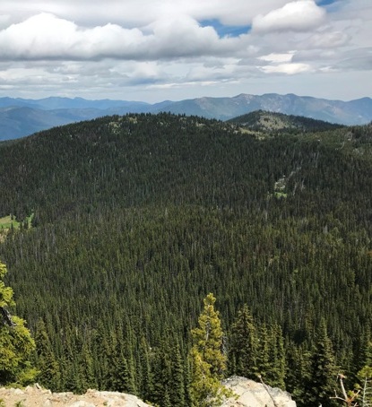
Looking North with Cougar Meadow down below
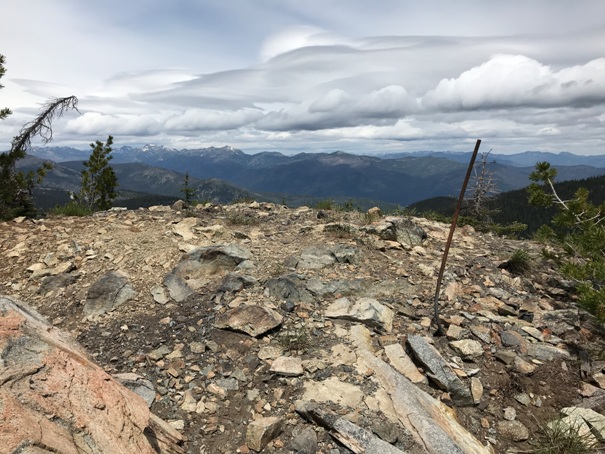
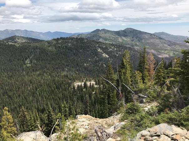
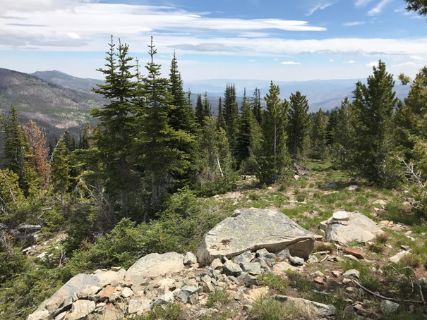
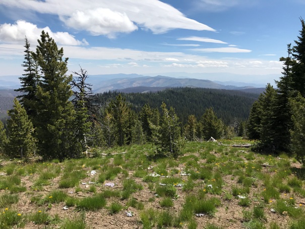
Lookout site
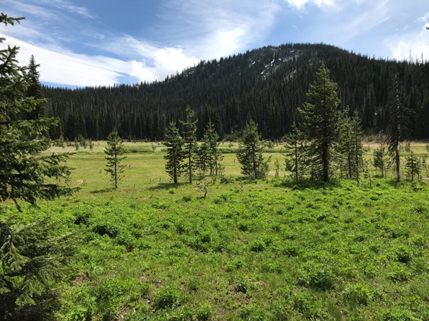
Cougar Mountain from Cougar Meadow
Looking South to Cougar Ridge and Sugarloaf Mountain


