WillhiteWeb.com
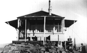
In 1933 a ground-mounted L-4 cab was built.
In 1934, panoramic images were taken from the roof.
In 1937 (July 22), the Wenatchee Daily World reported, ““Two lightning strikes were spotted Sunday. One at Corral Butte was noticed at once and extinguished by the lookout without aid, but one near Skull and Crossbones spread over about an acre before it was brought under control. With so much lightning on very hot afternoons, it is remarkable that there were not more fires.”
In 1956 a USGS party reported the lookout house still there.
Around 1957, the cab is reported as being gone.
In 2001, Irene Potter said: “It appeared that the site had been used again in July 2001 in conjunction with the Thirty-mile Fire to the west of the site that took the lives of four young firefighters. The road into the site had been newly reworked and the gate was repaired with a new lock.”
Lookout Elevation: 6,849 feet
Hiking Distance: Half mile up road from locked gate
Elevation Gain: 354 feet
County: Okanogan
Access: Good Gravel Roads
Corral Butte Lookout Site
Access:


Looking North 1934
Looking Southeast 1934
Looking Southwest 1934
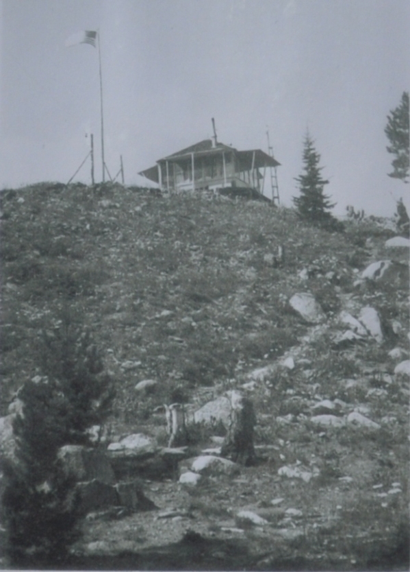
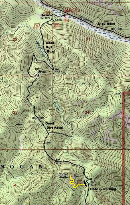
Easiest route into Corral Butte
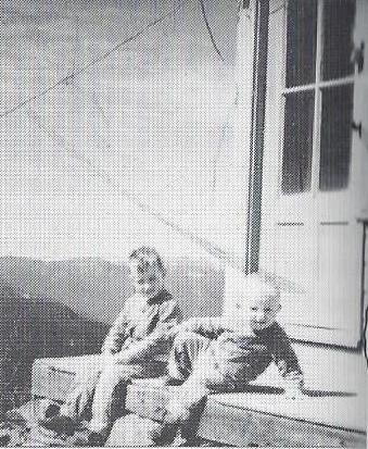
1942 Morris Grantham photo
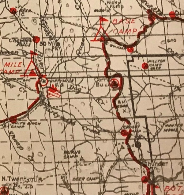
Early National Forest map
Use map. The gated road is right alongside Forest Road 39, one of the best roads to drive in Okanogan County. The easiest access is from the Loomis area. FR 39 is paved for many miles at first. The road becomes good gravel a few miles before reaching the gate. You can also reach the gate from the south via Winthrop but many miles of backcountry road is required, but if you have time, well worth it.
Route:
Just walk the road up, there are great views the entire route.
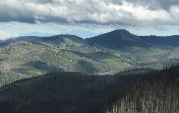
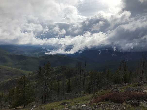
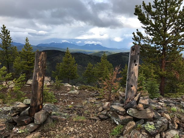
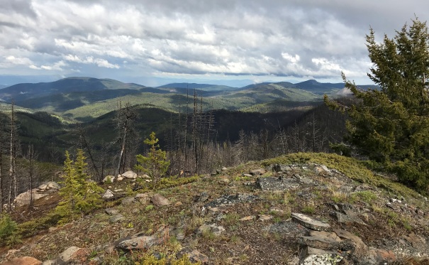
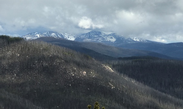
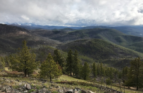
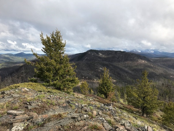
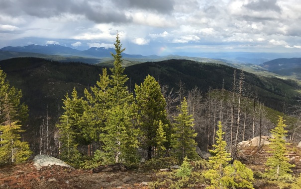
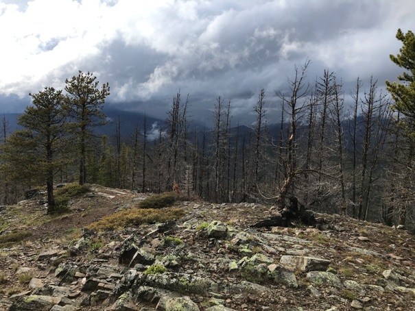
Looking Northeast
Looking Southeast to Thunder Mountain
Looking South to the Tiffany Mountain group
Skull and Crossbones and Big Hill (Woodpile)
Looking West
Looking South
Looking East
Summit looking North
Looking Southwest


