Cliff Ridge Lookout Site
WillhiteWeb.com
In 1937, the resettlement administration built a lookout on Cliff Ridge, east of Chewelah.
The lookout was a 45-foot tower with an L-4 cab on top. When it was built, a Mr. Whiting said that it was one of the best lookouts in the district as it overlooks the district lying from Kalispell range west to the Huckleberry range and north to Mill Creek. He said the lookout has approximately 70-percent coverage over the area and any lookout with 50-percent coverage was considered very good.
In 1938, a large block of timberland administered by the Resettlement Administration transferred to the newly formed Kaniksu National Forest.
In 1939, a phone line was installed.
In 1940, the Kaniksu Forest Service placed Ray Bailey on the Cliff Ridge lookout.
In the 1950s, the lookout was destroyed.
Elevation: 3,785 feet
Hiking Distance: 1.3 miles each way
Elevation Gain: 600 feet
Prominence: 425 feet
County: Stevens
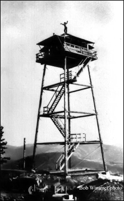
1937 Cliff Ridge Lookout Tower
Lookout History
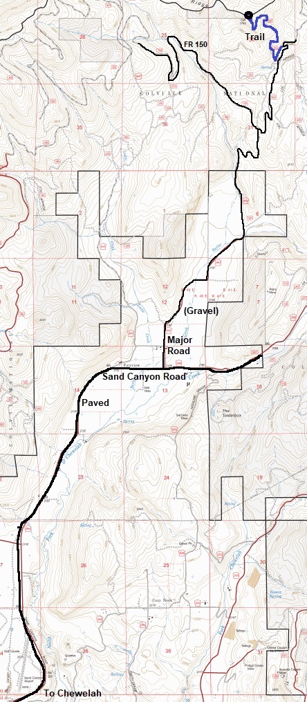
From Chiwilah, take the Sand Canyon Road north past the airport and golf club. Turn left on Major Road and follow into the National Forest. Take a right where a gated road (150) is on the left. Go another mile or so to the start of the trail. I was able to reach in a regular car in 2023. The old road is not signed and overgrown but room for one or two to park.
Access
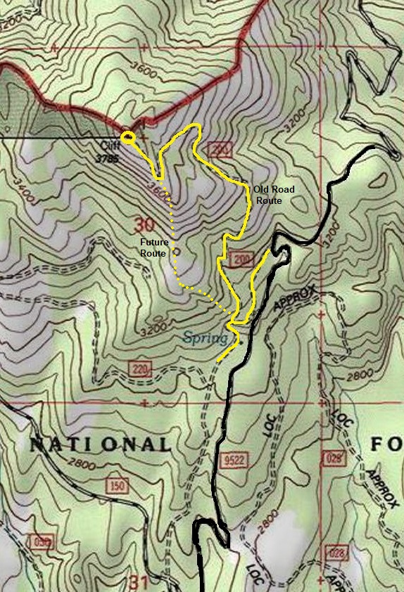
Unfortunately, the old road to the summit is now a trail and an overgrowing trail at that. Hunters have done some work on the trail but without more, the route will be lost. At that point, it will be easier to take the south ridge up since most of the ridge is open (except down low). For now (2023) the old road is not too bad but a few sections are quite brushy including stinging nettles.
Route
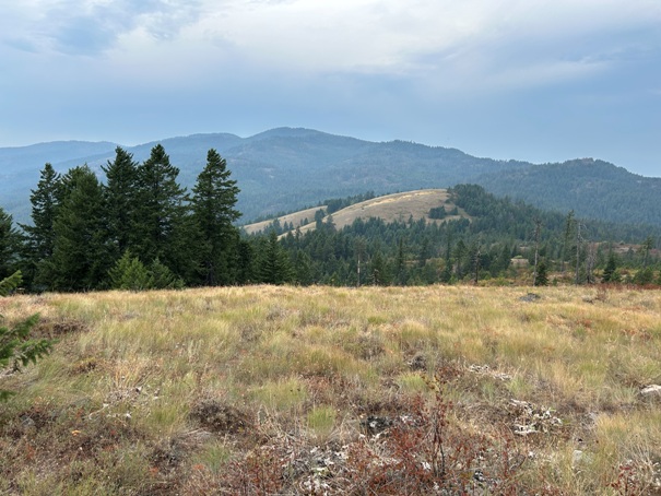
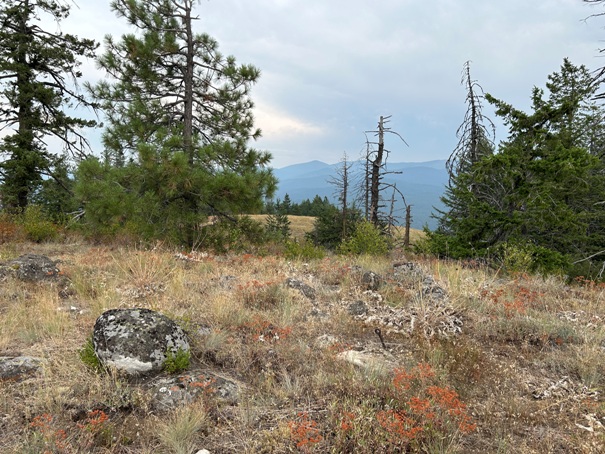
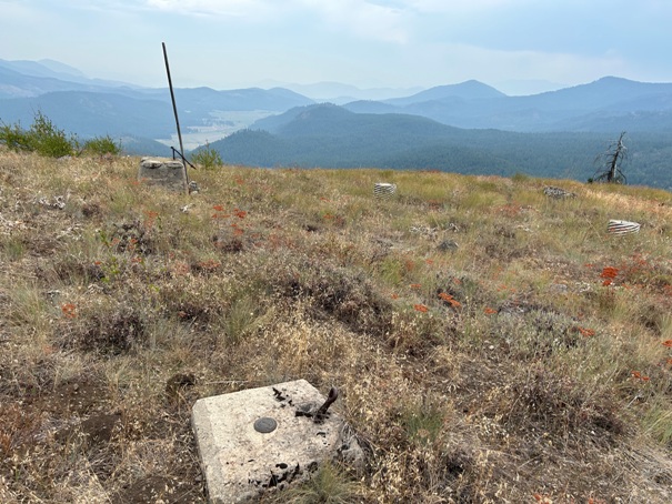
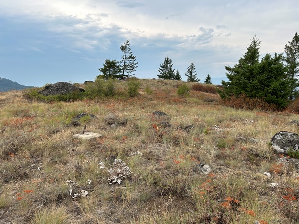
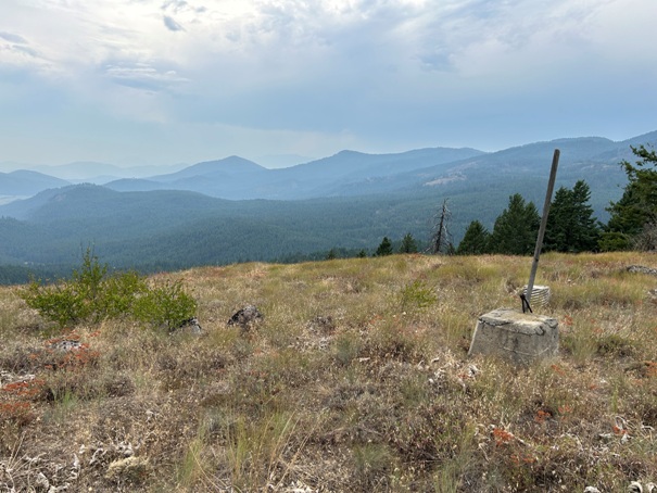
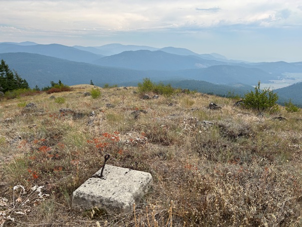
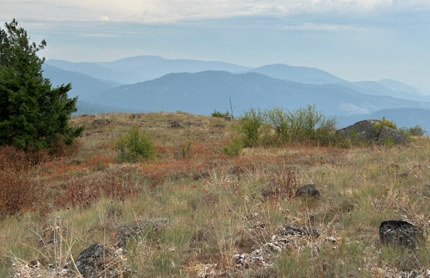
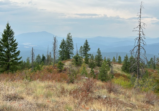
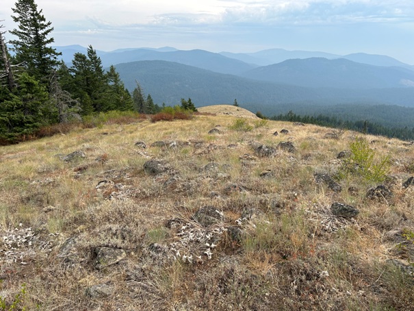
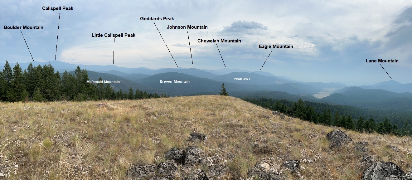
Footings and South view toward Chewelah
View of Addy Mountain
East view
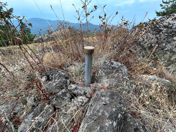
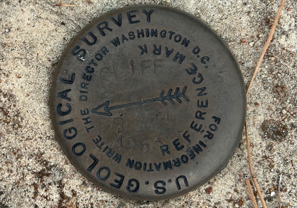
Summit benchmark
Looking up to the summit from the lookout site
Looking North to Old Dominion Mountain
View SW
From the summit looking down to the footings location
South Ridge
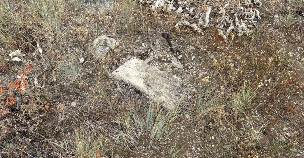
Footing almost under the dirt
Directional Benchmark in one of the footings
Old road route is in yellow (still doable in 2023). The yellow dot route is 80 percent open slopes for now although some winding around must be done to avoid brushy areas. The first few contours is bad brush on the south ridge route.


