


Circle Peak Lookout Site
WillhiteWeb.com
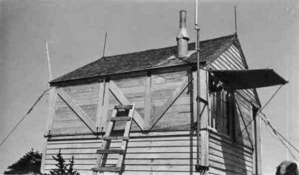
In 1929, the first lookout on this site was a camp.
In 1930 a frame cab was built. In order to build the lookout house at this point, the pile of rock on top had to be blasted away. While being built, Jim Lewis was living in the tent shelter until the building was finished. Jim had been stunned by a lightning bolt that struck a tree within a few feet of his tent.
In 1931 the lookout was Andy Holland. An entire chapter in his book “Switchbacks” is devoted to his Circle Peak Lookout experience. As the first person to occupy the new lookout, he suggested to his packer Bill Moran that he carry him across the threshold of his new home, but Bill said no. Bill did help unload the supplies and remove the heavy shutters that covered the windows before he started back down the mountain. Horses and mules could not come closer than a few hundred yards to the house due to the rocky up and down approach, so Andy had to carry all his supplies in many trips back and forth. For water, he said the first few weeks it could be obtained from snow on the ridge. After that, he would carry a five-gallon water can and water bags a mile and a half up steep switchbacks from the head of Circle Creek or descend to Indigo Lake.
In August 1935: "When the Circle Peak lookout hooked up his telephone this summer it was grounded. He could hear others talk but could not talk or ring out. He had the packer's test set and called the station for information. I told him to check everything I could think of, but telephone trouble shooting from the other end of the line is not so good. After the lookout looked for the trouble for two days I went up to see if I could find it. When I started checking the line into the lookout house I noticed that one end of the vacuum tube loose where it joins into the copper end. I pulled the tube out and found it was full of water, probably from snow melting and running into the broken end. The water was making a contact between the carbons and grounding the whole system. Hunters or someone last fall had thrown the switch and left it on, and lightning had burned out the bell coils, and I imagine the lightning caused the vacuum tube to break loose from the end connection. Hubert Wilson" (Six Twenty-Six)
In September 1935 panorama photos were taken from the roof of the cab.
In 1961, Harry Gladsjo was the lookout.
In 1967 the lookout was burned.
Lookout Elevation: 5,983 feet
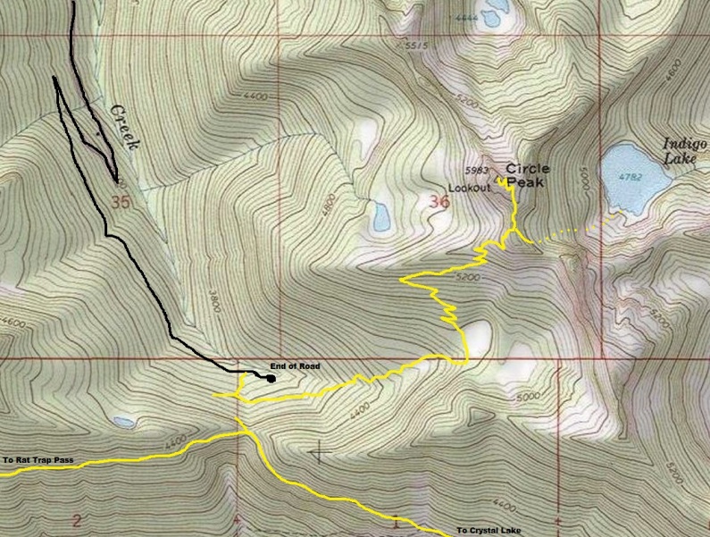
Hiking Distance: Around 2 miles each-way
Elevation Gain: Around 2,000 feet
County: Snohomish
Looking Southwest, September 18, 1935
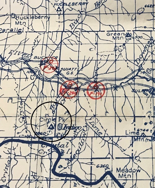
1934 Metsker
Take the Suiattle River Road 9.8 miles to the end of pavement junction. Turn right and go over the large metal bridge that crosses the Suiattle. This is FR25. Follow FR25 for around 3 miles to a junction with FR27. Take FR27 right, going uphill. Go around 1.5 miles to a final junction where you go left onto FR2703. Take FR703 several miles to the end of the road. Most of this final road has been closed for many years but opened back up in 2020. Conditions could change year to year. In 2020, any car with a fair amount of clearance could make the trailhead.
Access:
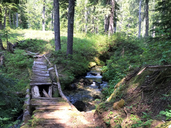
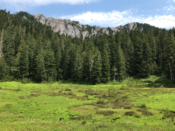
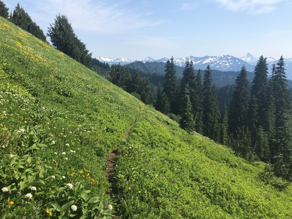
From the end of the road and the parking spots, walk the road back downhill until you see the trail shooting steeply uphill. Follow for a few minutes until you hit an intersection (the old trail). Take a left and follow a much gentler trail as it passes the final cut forest, then entering the old growth. The trail will steadly climb, passing a few meadows, quickly reaching the upper part of the mountain with steep, flower filled hillsides. When the trail reaches the summit ridge, a minor trail veers off and drops down to Indigo Lake. Continue up to the summit. The final traverse on the summit to the highpoint and lookout location requires a touch of exposed traversing over cliffs.
Route:
Circle Peak Lookout in 1947


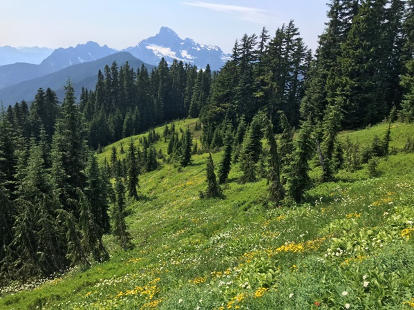
Looking Southeast, September 18, 1935
Looking North, September 18, 1935
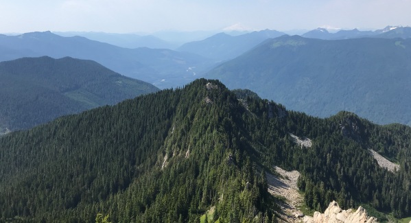
Baker
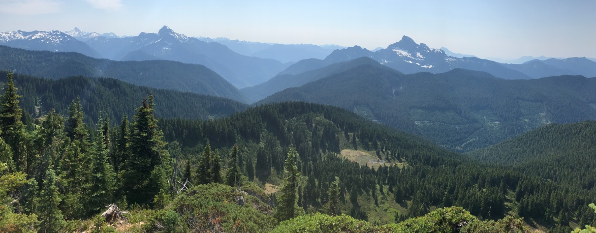
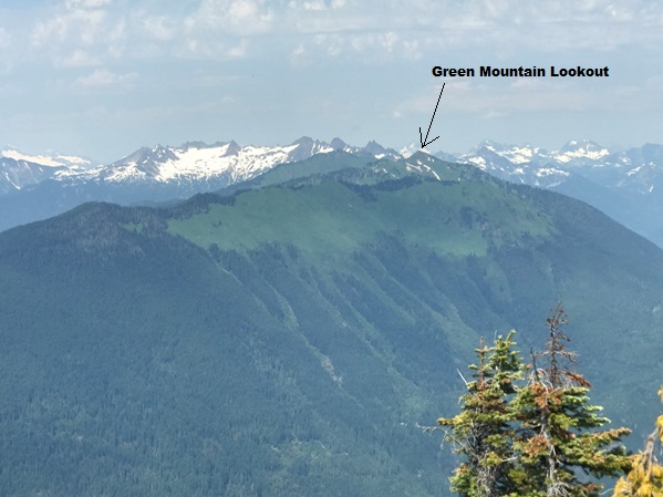
Green Mountain from the summit
Trail, meadows and Sloan Peak in the distance
Whitechuck Mountain
Glacier Peak
Dome Peak
Mt. Pugh
Sloan Peak
Whitechuck


