WillhiteWeb.com
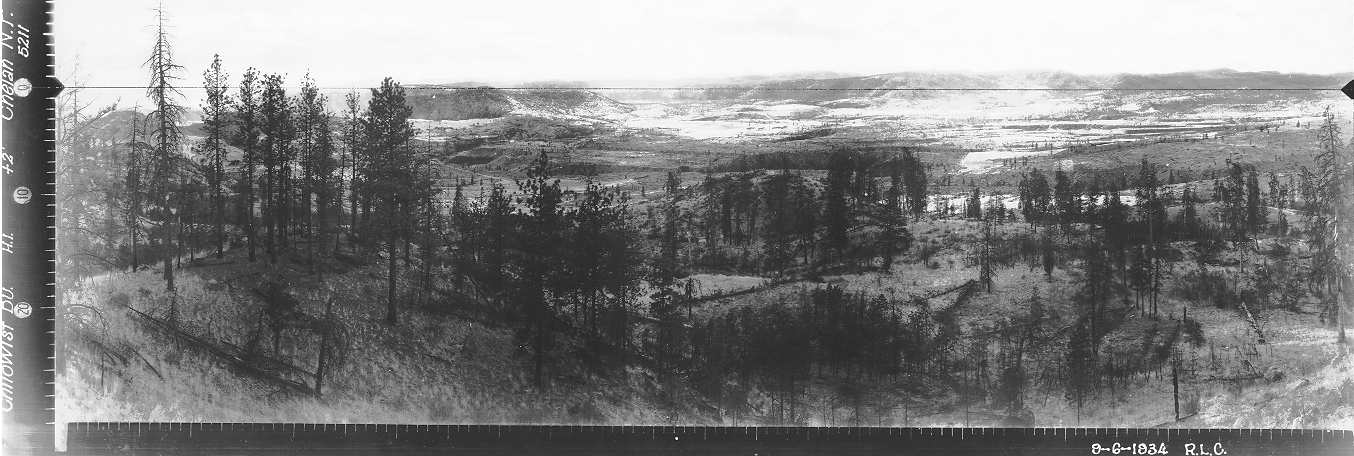
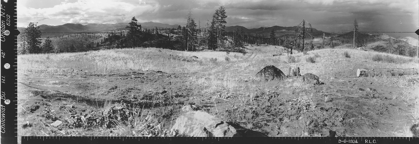
In 1934, on September 6, panoramic images were taken at 2 feet above ground. A road went to the photo site. Each photo is taken from a slightly different spot on the knob. That same year, a crow's nest was developed on the butte, along with an L-5 cab for living quarters.
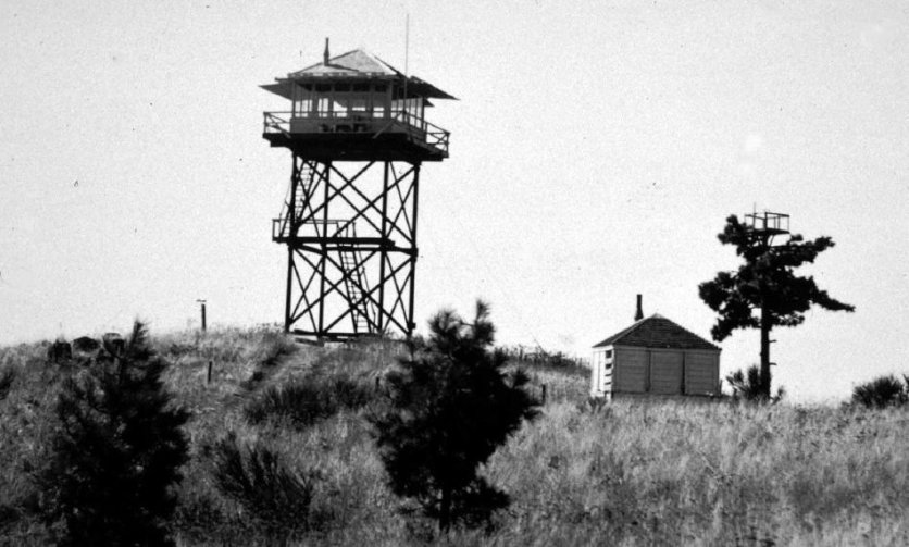
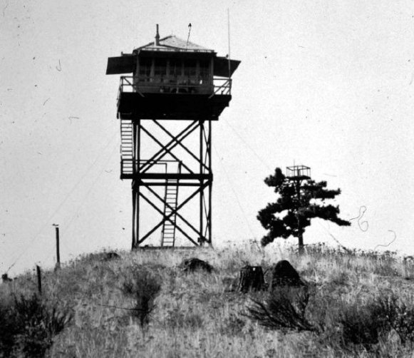
In 1939, a 30-foot timber tower wit L-4 was built while the L-5 ground cab was moved to Jackass Butte.
In 1954, the L-4 cab atop the tower was moved to the new tower atop Leecher Mountain.
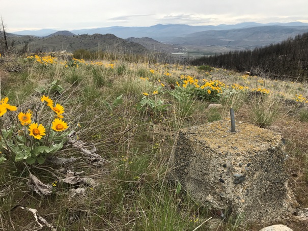
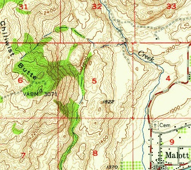
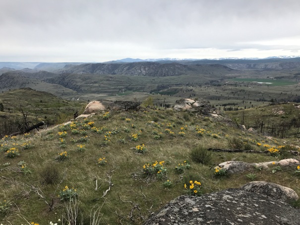
A 1956 USGS party placed a benchmark at the SE summit. They claimed their benchmark was near the former tower and that no evidence of the location of the tower existed. They thought the former location was on a knoll 900 feet away from their benchmark but they missed that the former location was more like a half mile away. They were aware it was a tower and that it had been dismantled a few years prior. The views from the benchmark site of the valley are pretty good and there are some interesting debris located there from old communications equipment.
Lookout Elevation: 3,078 feet
Hiking Distance: 2.2 miles one-way
Elevation Gain: 1,100 feet
Access: Good to lower parking areas
County: Okanogan
Chiliwist Butte Lookout Site
Looking Southwest 1934
Footing from the tower
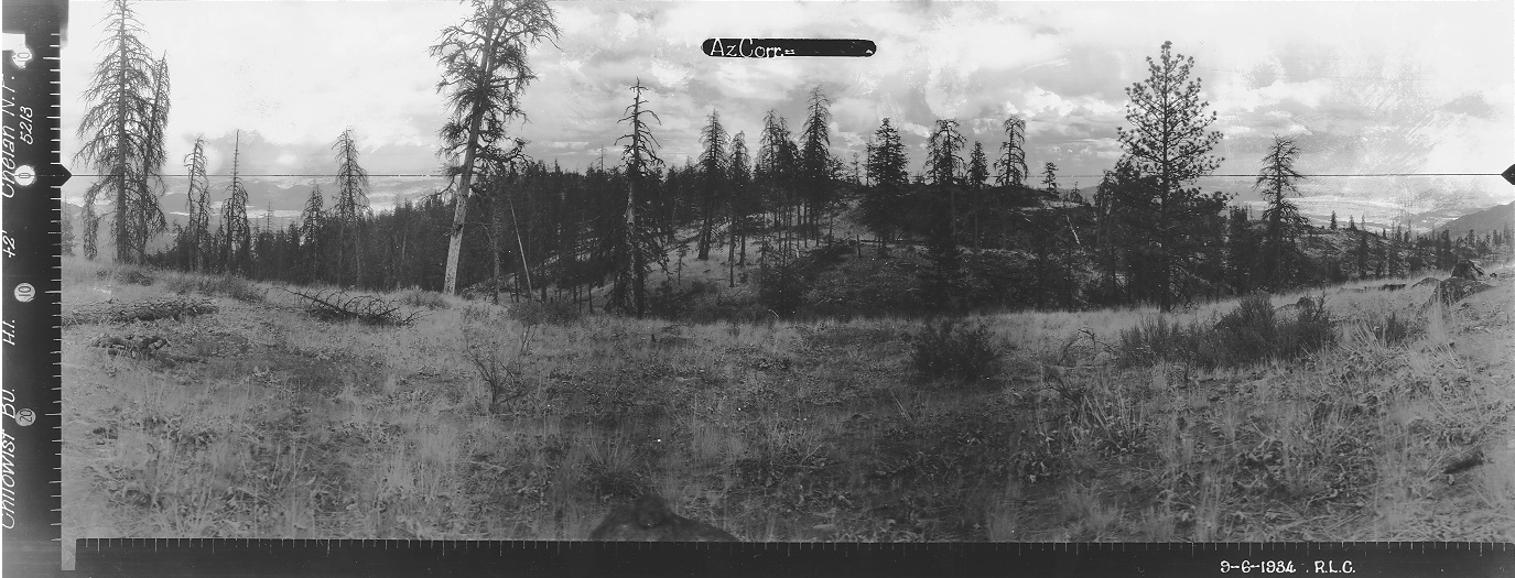
Looking North 1934
Looking Southeast 1934
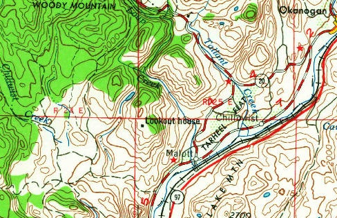
Chiliwist Butte in 1942. Crows nest tree, L-4 cab and tower with L-4
1954 USGS, 1964 update
1957 showing road to the benchmark
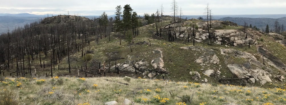
Looking Southeast 2020
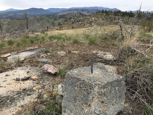
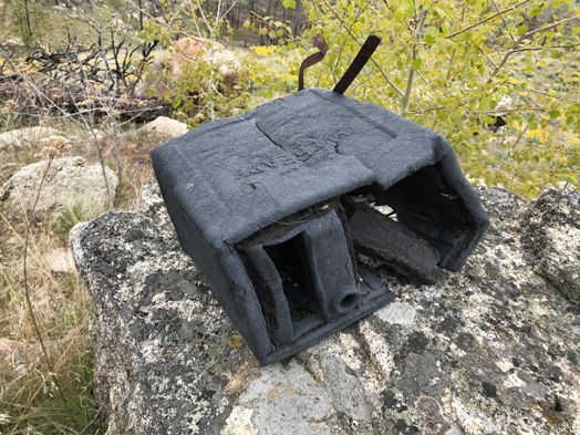
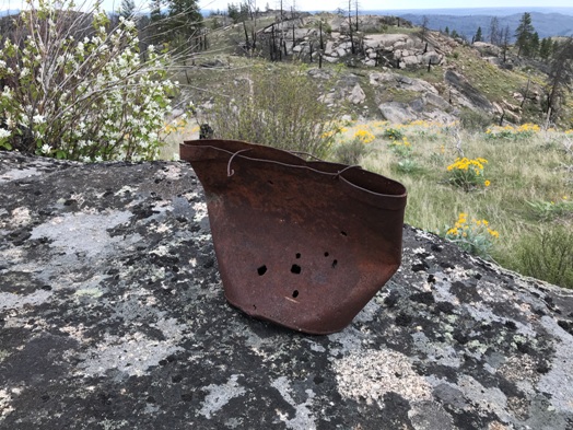
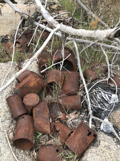
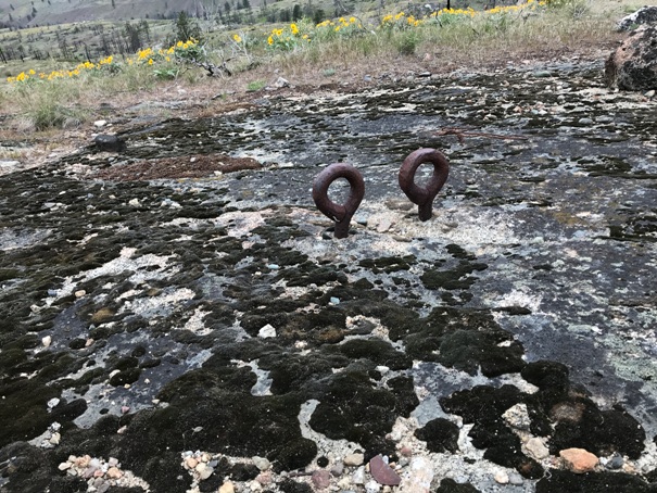
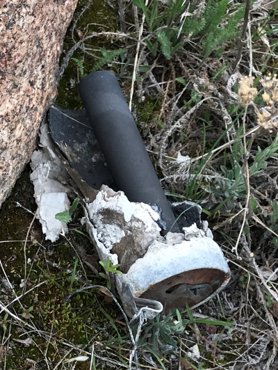

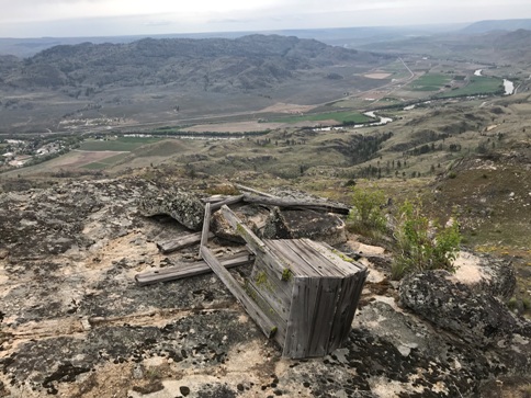
Unknown object near the benchmark site
Stove
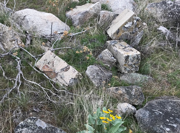
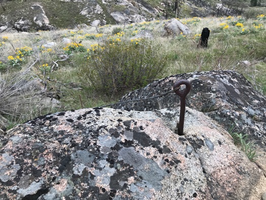
Tower footing
Bucket
Anchor
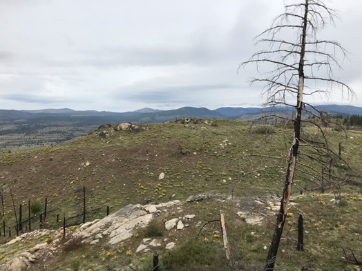
Fallen tree right near where the lookout tree was located
From the flat rock looking over to the lookout site
Same southeast view as below. Note the flat rock in center right in both pictures
Ground cab footings
View southwest
Double anchors
Battery
Found the dump nearby
Access
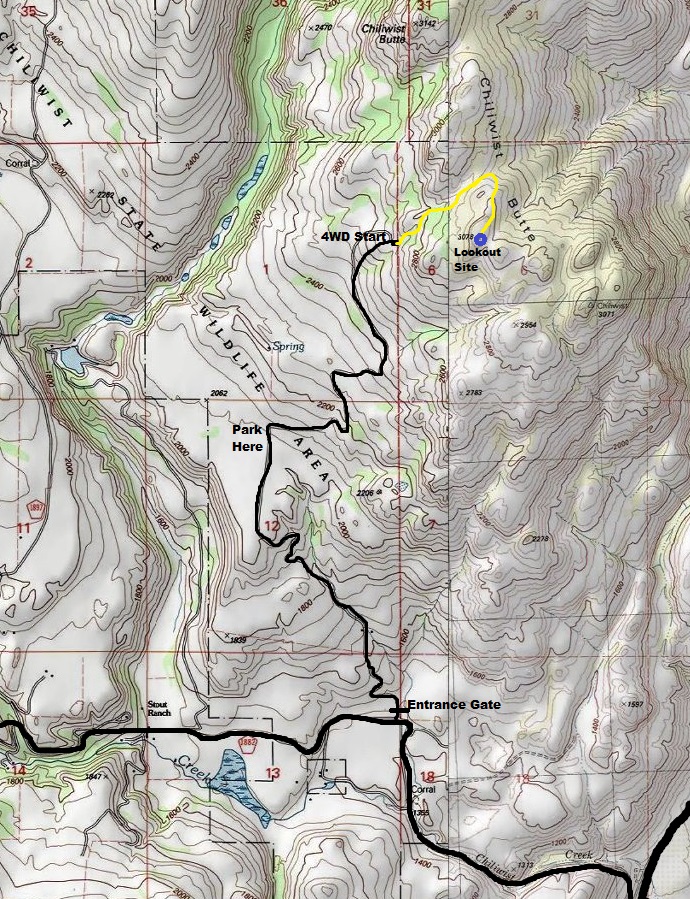
There is parking and a gate off the Chiliwist Road. The gate was open during our visit in April. A good road will take you to a bench at 2,000 feet. There is a sign here saying parking because the road beyond gets rough and best only for high-clearance 4WD.
Route
Walk the old road. The higher you go, the more it disappears. Near the end, the road is very faint but reaches the ridge and then takes a ridge to the top of the knoll where the lookout site was located.
