WillhiteWeb.com
In 1932, the lookout/fireman was Oval Capps. (must have been a camp)
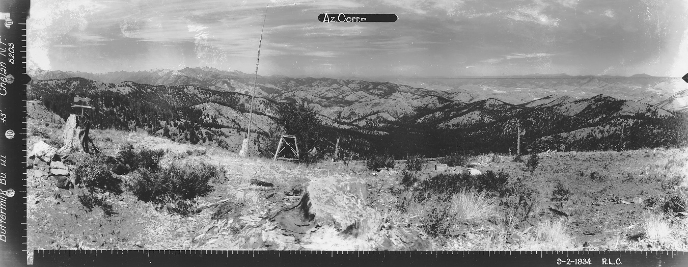
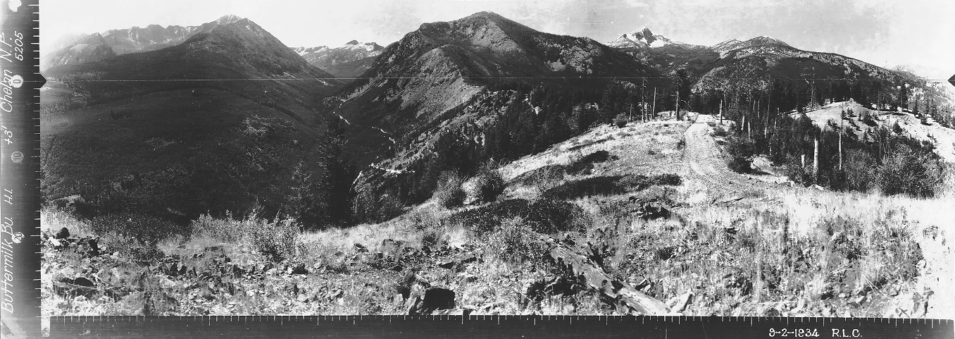
In 1934 an L-4 cab was built. Panoramic photos were taken in September from 3 feet above ground. No evidence of a structure in the images but a road did go to the summit.
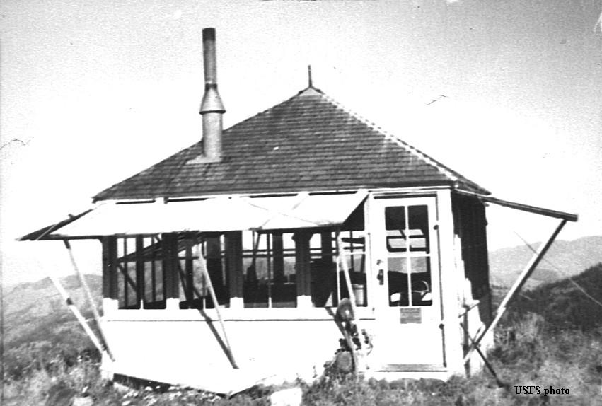
In 1951 the lookout was sold and moved to a private ranch 4 miles up the Twisp River.
Lookout Elevation 5,471 feet
Hiking Distance: Drive-up
County: Okanogan
Access: Good for any vehicle
Buttermilk Butte Lookout Site
Looking North 1934
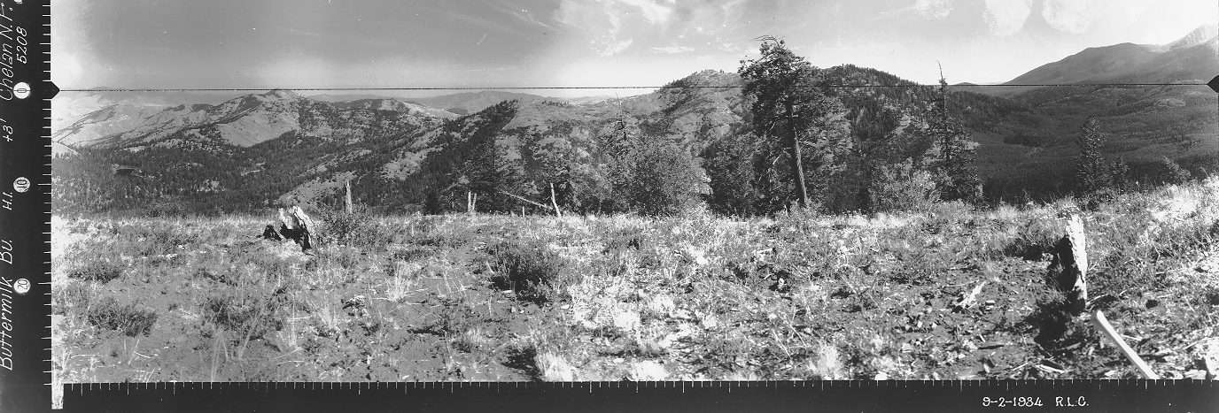
Looking Southeast 1934
Looking Southwest 1934
The Buttermilk Butte Lookout, no date.
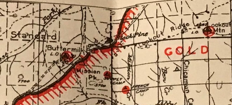
Old Lake Chelan National Forest map
Have not visited yet.


