Burnt Rock Lookout Site
WillhiteWeb.com
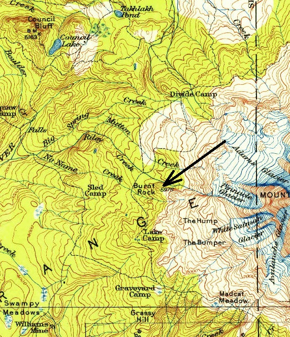
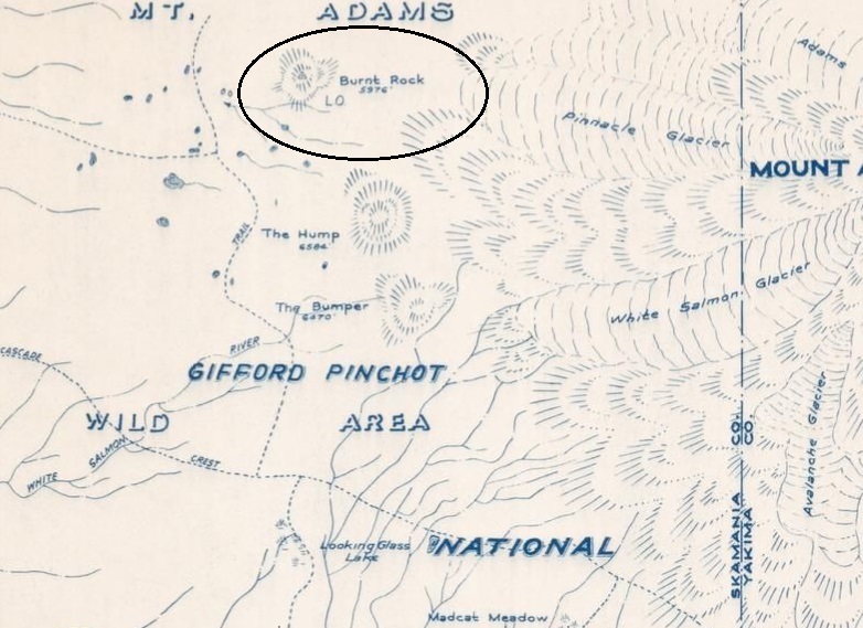
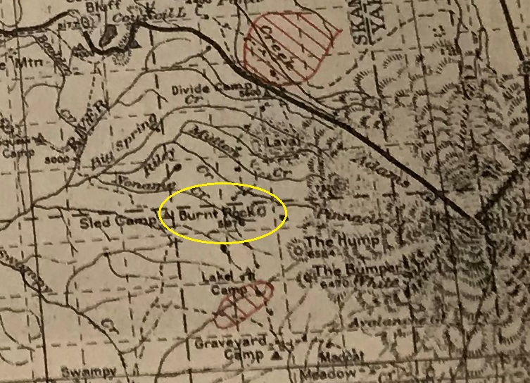
Nothing is known about this site, if it was a site at all. The 1956 Metsker map shows a lookout at Burnt Rock. This is plausible since the location is right along the Round-The-Mountain Trail similar to Madcat Meadow Patrol Station. The view covers territory on the west side of the mountain that is not visible from Madcat Meadow site 3 air miles to the south. Like Madcat Meadow, it was likely just a patrol point.
Lookout Elevation: 6,000 feet (5,976 on older maps)
Hiking Distance: 6 miles one-way (using Riley Camp Trail)
Elevation Gain: 2,500 feet
Access: Paved
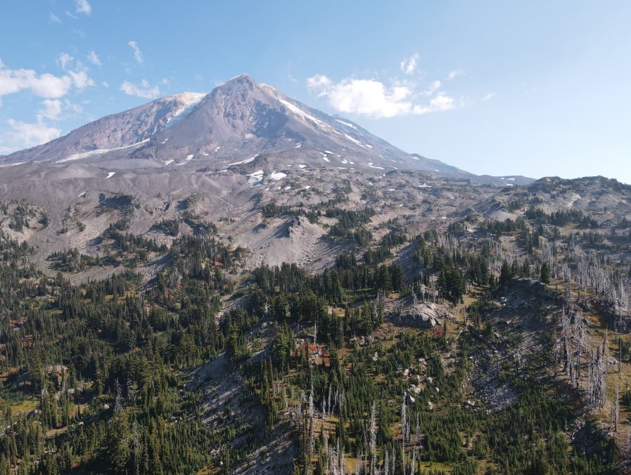
Mt. Adams from about 300 feet directly above Burnt Rock
Burnt Rock shows up on the 1925 Columbia National Forest map but not the lookout.
1956 Metsker map with Burnt Rock Lookout
Route and Our Visit
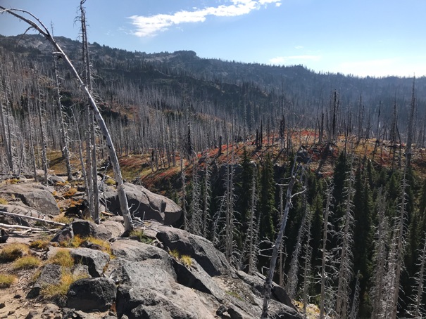
From the PCT, accessing the summit is just a very short easy off-trail walk. The 2012 Cascade Creek fire has burned the trees leading up to the summit. We did not find any artifacts or hints of habitation on or near the summit. More investigation could prove something. Any sheds or camps would be in the meadows just below the summit knob.
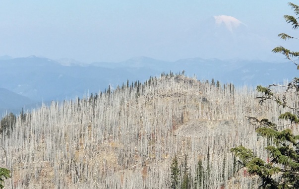
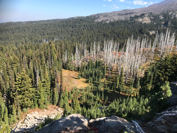
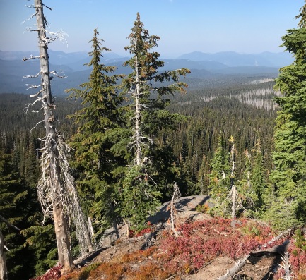

Burnt Rock from the south
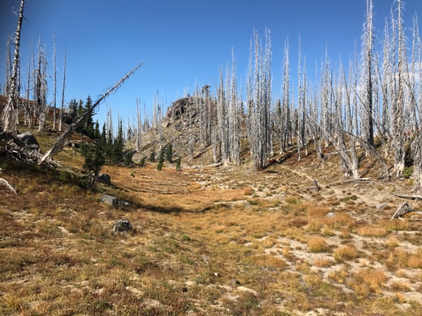
Approaching Burnt Rock on the PCT from the south
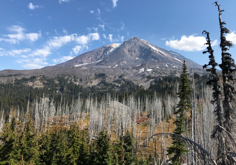
Mt. Adams from the summit of Burnt Rock
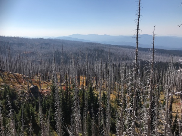
Looking North from Burnt Rock
Looking South from Burnt Rock
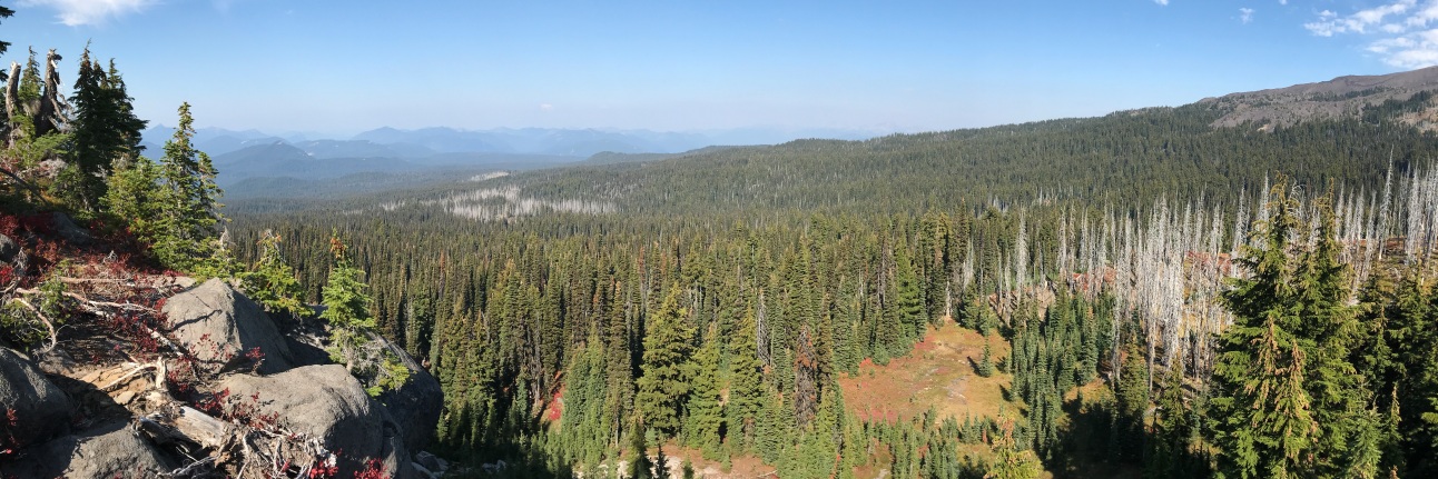
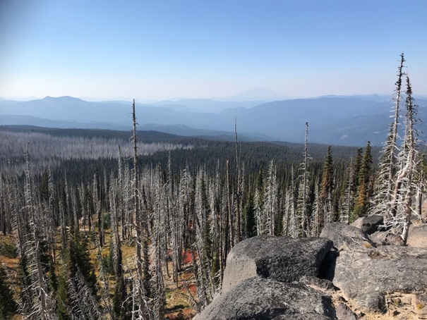
Looking West from Burnt Rock with Mt. St. Helens in the distance
SE from Burnt Rock
Looking down to the Sheep Lake area from the summit
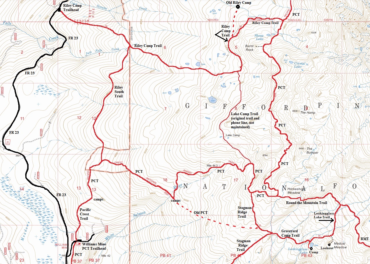
With the help of 5 maps, aerial photos and what I saw hiking....these are some of the trails in the area of Burnt Rock.
1926 USGS map with a 1954 update
Looking NW
PCT hiking


