Burnt Peak Lookout Site
WillhiteWeb.com
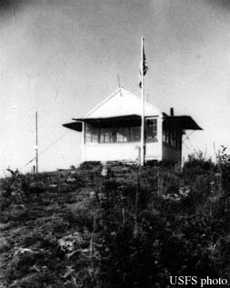
In 1931, this site was established with a lookout station, with a gable-roofed L-4 cab.
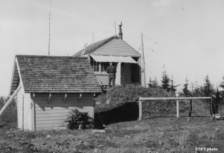
In 1936, panoramic photos were taken from the roof. There is a shed, flagpole, phone pole and some fencing in the pictures that match photos 26 years later.
In 1938 the lookout was Jack Price.
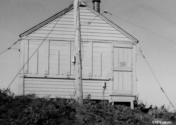
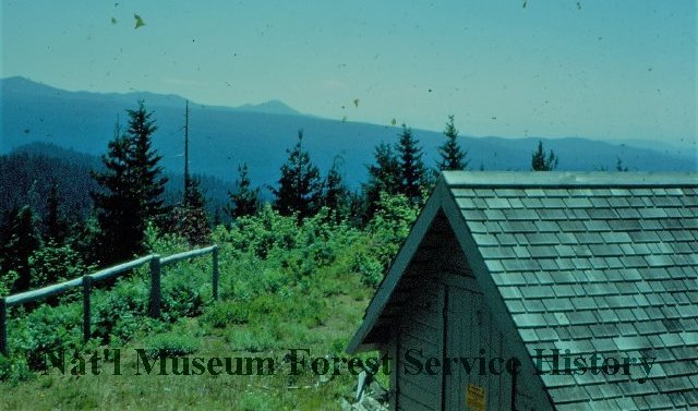
In 1962, the USFS took pictures of the lookout and shed.
In 1963, we know that Louie Larson was the fire lookout.
In 1964, a USGS party said the lookout had been abandoned.
Lookout Elevation: 4,106 feet
Hiking Distance: Half mile off trail
Elevation Gain: 400 feet or so
Access: Good gravel road

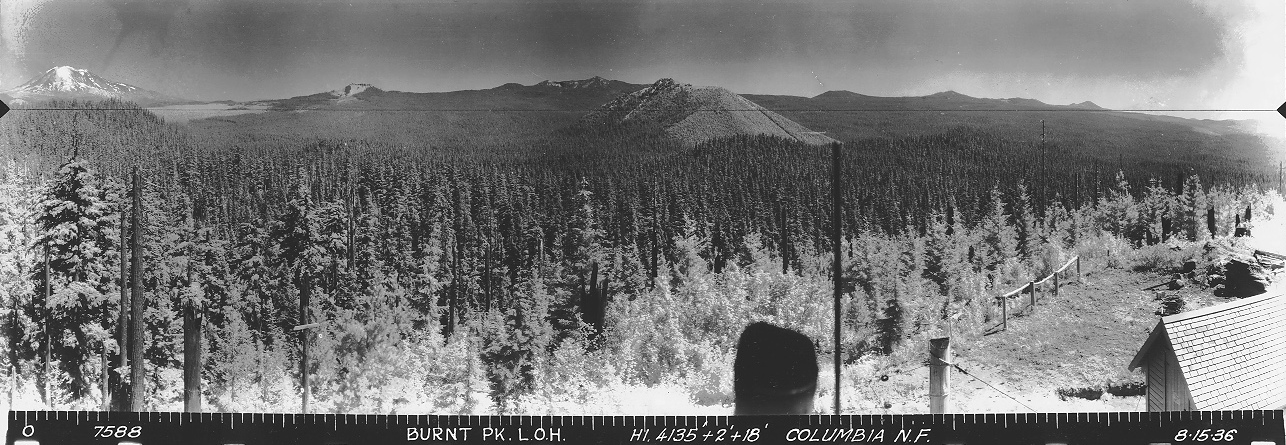
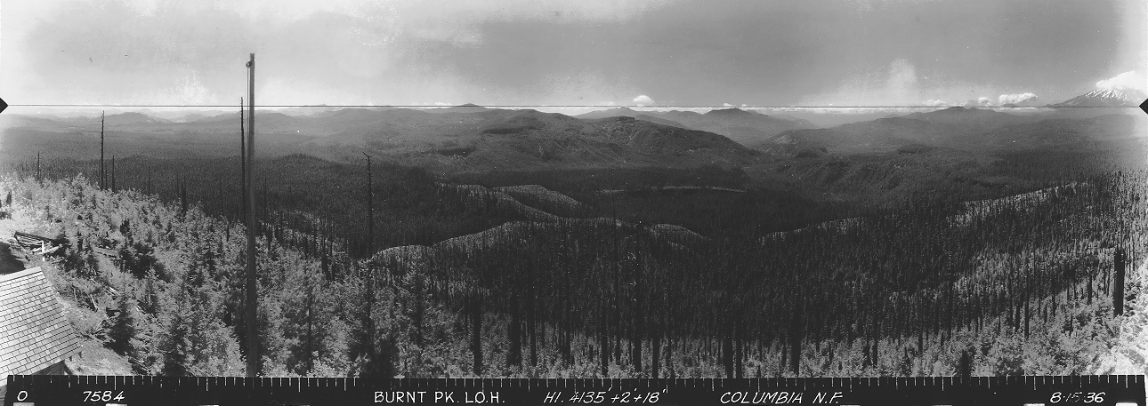
View Southwest on August 15, 1936
View Southeast on August 15, 1936
View North on August 15, 1936
Burnt Peak Lookout in 1962
Burnt Peak Lookout 1936
Burnt Peak Lookout in 1962
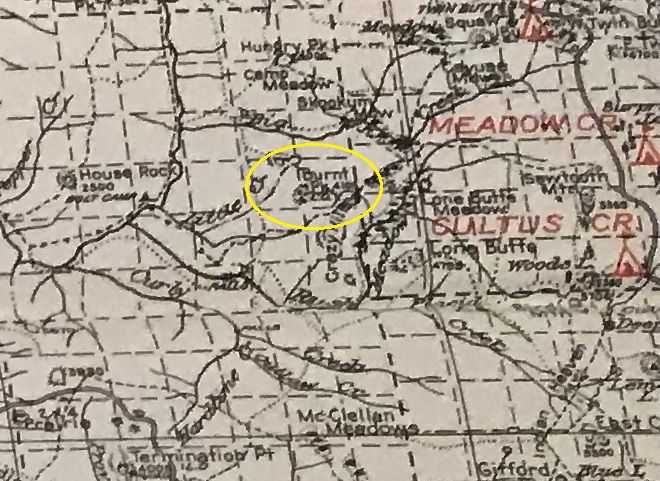
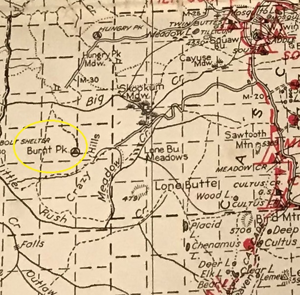
1932 Columbia National Forest
1940 Columbia National Forest
Access:
Route:
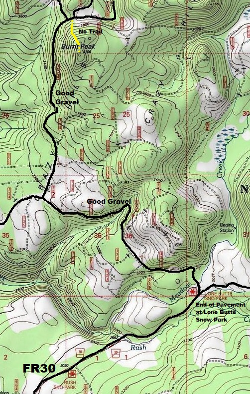
From the Lone Butte Sno-park where the pavement ends, there is a Y intersection. Go left onto FR 3211. Follow to FR 704 which climbs up and around Burnt Peak. Park at the road highpoint on the north side of the mountain between two spur roads going north.
A very nice open forests exist to the summit. Once past the first 10 feet off the road, the brush disappears, and the climbing is steep but easy to the summit.
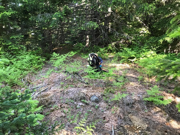
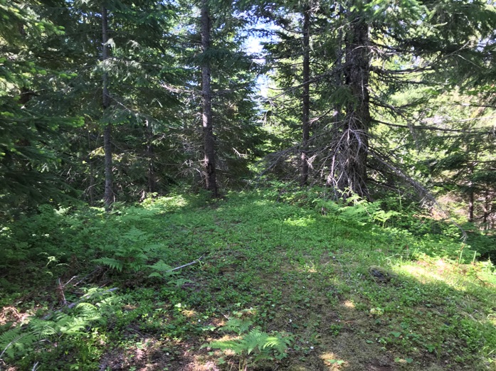
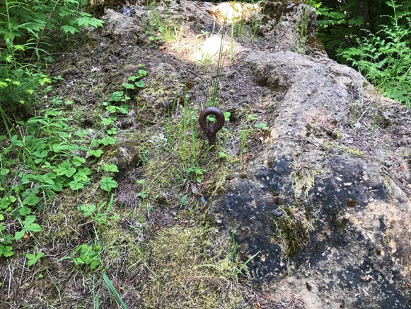
On the summit with the square foundation still rising
Just below the lookout site on the summit are 2 benches. One was where the shed was located.
Eyebolt at the summit
Route I took in yellow
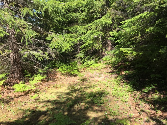
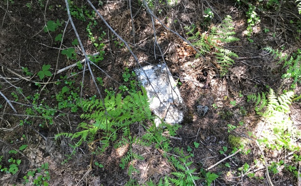
Lowest open spot
Step or footing of some kind
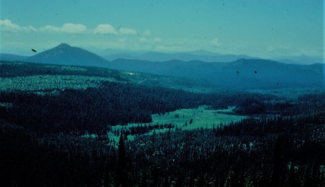
View in 1950
SE view in 1950


