Burn Lookout (Stillaguamish Lookout)
WillhiteWeb.com
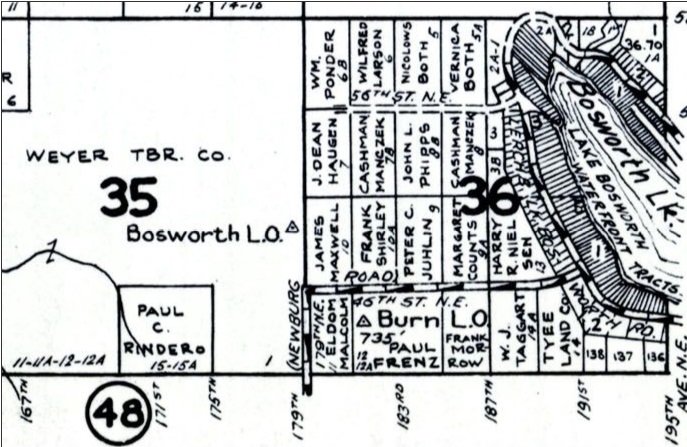
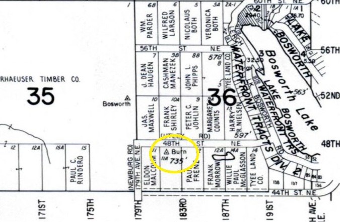
According to the Kresek Inventory, this lookout was built in 1938. It was a 99-foot pole tower with a 6x6 foot cab on top. Below the tower was a house. Several maps do label this site with the description Burn Lookout. I do not know where Kresek got the Stillaguamish Lookout name from.
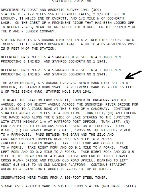
Nearby, just 0.32 miles away was the Bosworth Lookout, a metal tower 103 feet tall standing in 1941 when both locations were visited an monumented by the USGS.
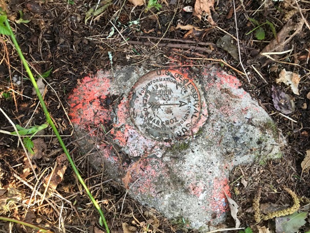
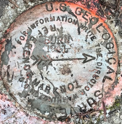
The surviving Burn disk stamped (Reference No. 1 BURN 1941) is a reference mark pointing to a missing Azimuth Mark called (BURN 1941). The missing Azimuth Mark was about 15 feet east of the reference mark, in a boulder. This Azimuth Mark was to help locate the Bosworth Station Benchmark.
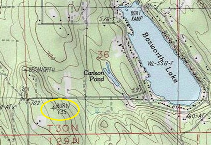
Elevation: 735 feet
County: Snohomish
Access: Private Property, permission needed.
Site visit in 2020
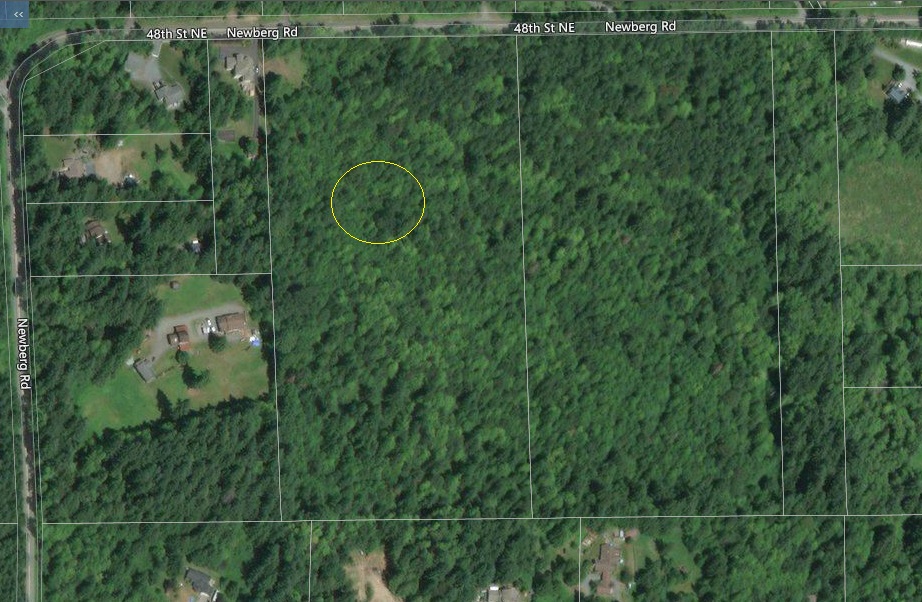
This vacant land is private, owned by a developer who will eventually sell it or has already sold it. Permission is needed or it is trespassing. Signs are posted and already, just to reach the mark you practically pass through a neighbor’s front yard. I have the neighbors contact information but will only share it with other lookout enthusiasts I know.
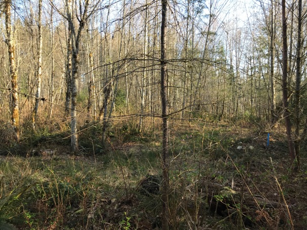
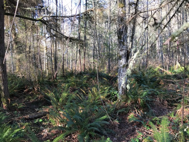
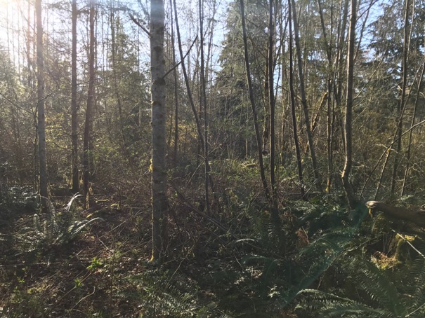
Views from the Burn reference mark
Burn reference mark
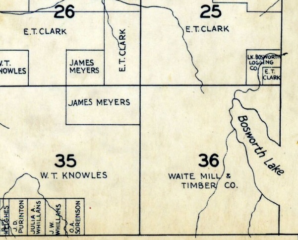
1934 Kroll map before Burn or Bosworth benchmarks
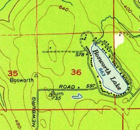
1956 USGS
1960 Kroll map
1960 Metsker map
Bosworth data sheet
General location
Topo today


