Access:
Route: (crosses private timber company lands, permit sign)
May 18, 1956: "On the Soleduck District, it is necessary to man two special points in advance of the regular season. One is an emergency point known as Burma Point in the middle of the P.A.W. Burn. This point is being manned from a mobile house trailer on top of a logged off ridge. This emergency point gives detailed coverage over a good part of the P.A.W. Burn which occurred in 1951. The man on detection at this location is Robert Stockton, a University of Michigan forester who has been on the Olympic National Forest the past year. The slash conditions and bracken fern in the burn represented a highly hazardous fuel type at this season of the year." (Port Angeles Evening News)
Burma Point Emergency Lookout
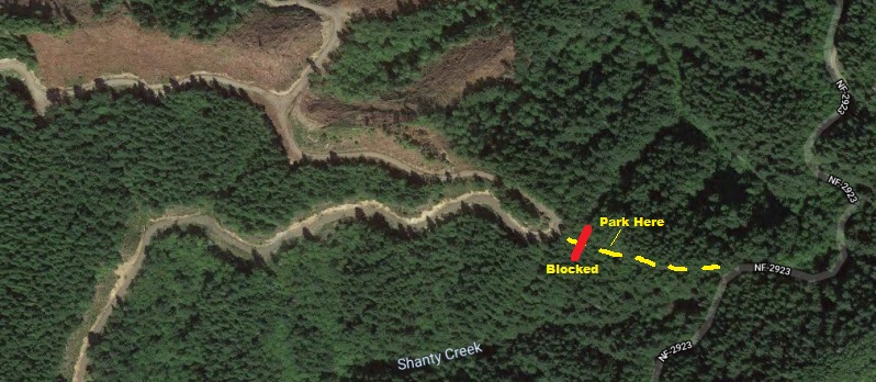
From Highway 101, take the Cooper ranch Road to Forest Service Road 2923. Turn right and follow 2923 to the old spur road on the right. The old spur follows the ridge a short distance then dead-ends where there is a root ball obstruction at the boundary between National Forest Lands and Private Timberlands.
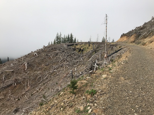
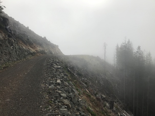
Just past the road obstruction is a brand-new logging road on private timberlands. There is one sign saying something about no trespassing. All I will say about that is that this is a dead-end forest road and the chances of seeing anyone are slim. You hit the logging road at a switchback. Go uphill along the ridge. At first Y, turn left continuing up the ridge. Before a mile, you are at the old landing where the trailer was placed in the picture below. It is very possible that the trailer was moved to the end of the road at some point. The forks emergency lookout map puts the location at the end of the road. Walking to the end (another half mile) will settle any debate you made it to the lookout site.
Lookout Elevation: 2,000 feet
Hiking Distance: 0.8 miles one-way (another 0.6 to road end)
Elevation Gain: 400 feet
Access: Good gravel roads
WillhiteWeb.com
Area History:
The summer of 1951 was unusually dry in the Northwest. In the fall, dozens of forest fires broke out in Washington, Oregon, British Columbia and Northern California. The Great Forks Fire got its initial start a few weeks before the big blowup.
In early August, a fire started along a railroad line west of Lake Crescent near Camp Creek. (Sol Duc Fire) The blaze burned about 1,600 acres of public and private forest land before firefighters contained it. But the embers were never completely extinguished. The fire continued to smolder, undetected, in a fallen log, a stump or under the forest floor. There were many spot fires for weeks. Then, on the early morning of Sept. 20, gale-force winds out of the east acted like a bellows and rekindled the blaze. The fire quickly became an inferno that raced across treetops and threw billows of smoke into the sky. The blaze sped down the Calawah River valley toward Forks, covering about 18 miles in less than a day. In Forks, embers began raining down on rooftops and yards. Authorities ordered the town evacuated.
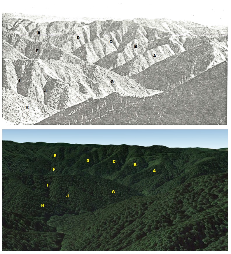
Comparison from the 1956 photo and google Earth view. The image of the trailer (shown below) was stationed at a landing on Burma Ridge but not at the end of the road. A specific landing is the only place that matches the location. See maps below.
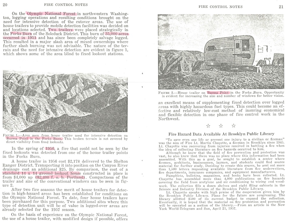
This article was from "Fire Control Notes": Volume 19: Number 1.
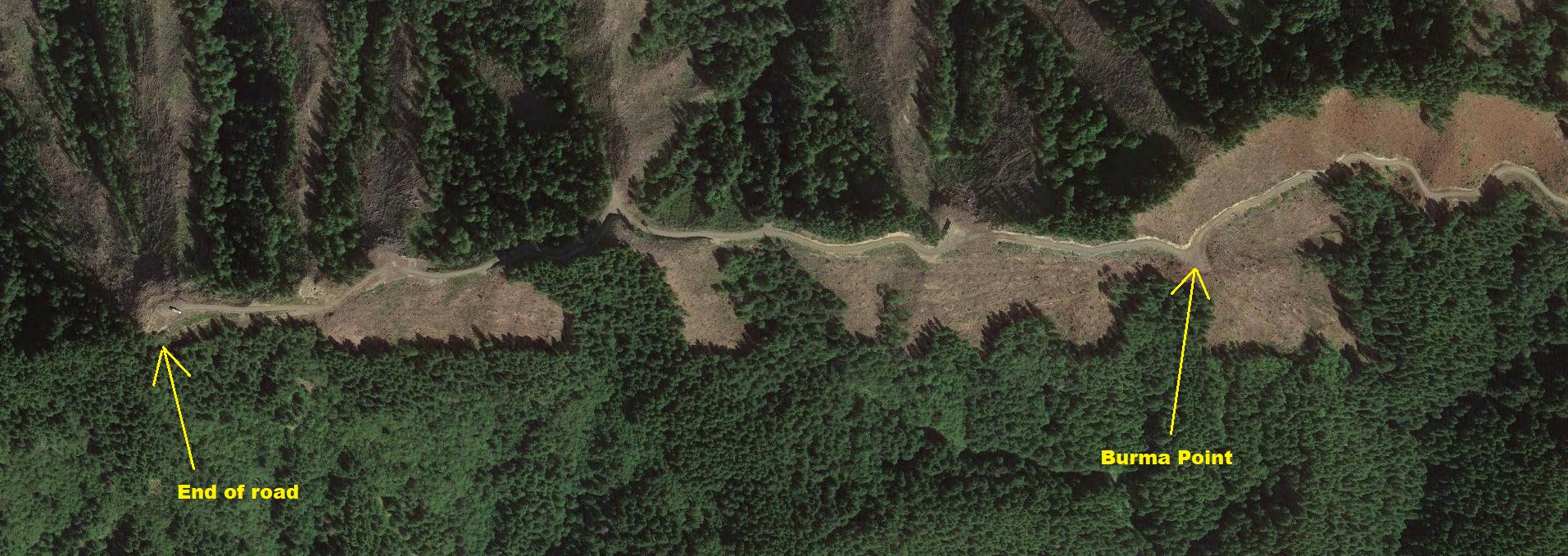
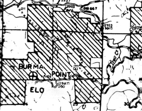
This Forks emergeny lookout map (date unknown) shows Burma Point ELO located at the end of the Burma Ridge Road. This is the same location the road ends today.
Approaching Burma Point
Showing the closed spur between FS Road 2923 and the private timber company road.
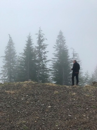
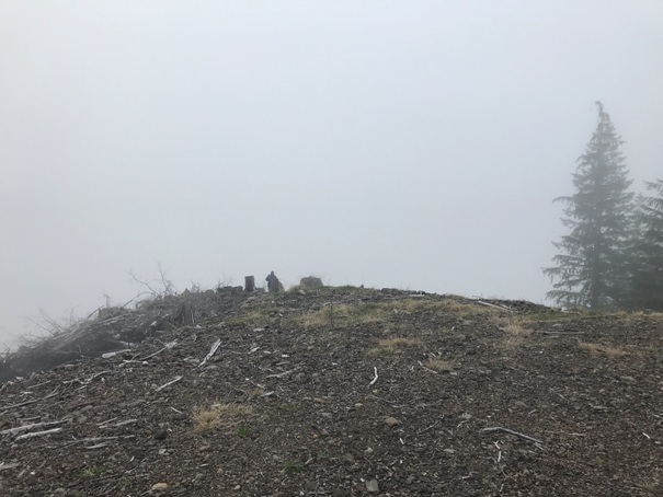
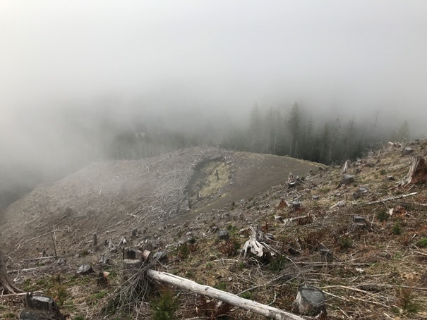
Standing on Burma Point with no view
Looking back at Burma Point from the far side
Looking down on Burma Point from the ridge above.
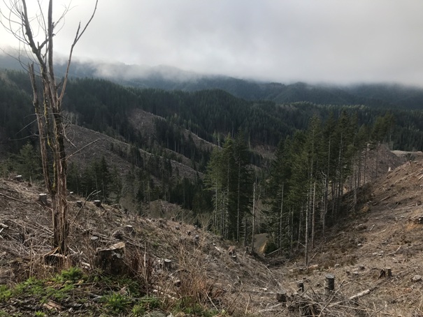
Some views near Burma Point
Burma Ridge Road being cut after recovery from the 1951 Great Forks Fire.
Burma Point was logged off around 2019. The previous forest had been all burned in the 1951 fire.


