WillhiteWeb.com
In the 1930s, this was a camp with a platform tower. The lookout was abandoned in the 1940's. We have no pictures or maps showing this lookout site.
Lookout Elevation: 4,123 feet
Hiking Distance: 1.3 miles
Elevation Gain: 550 feet
Access: Good gravel road
County: Okanogan
Bridge Creek Lookout Site
Take the Twisp River Road to the right turn onto Little Bridge Creek Road (should be signed). Follow this good gravel road almost 3 miles to a left onto FR100. Follow FR100 to the pass where parking, a rustic camp, and 2 gates are located. Park here.
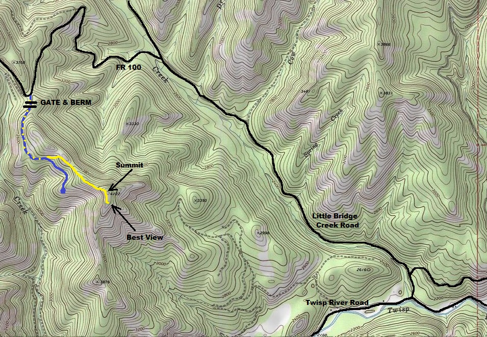
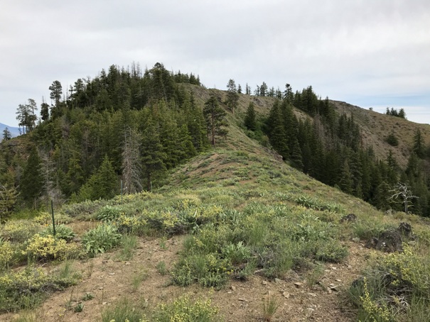
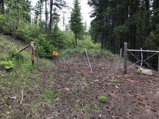
Follow the old road going East behind the gate. Sign says to close the gate after entering. Follow this road as it climbs and traverses the direction you want. Once the road starts dropping downhill, start considering leaving the road and doing a rising traverse toward the summit. Once leaving the road, game trails climb up toward the ridge. Gain the ridge and continue on ridge along the fenceline to the summit.
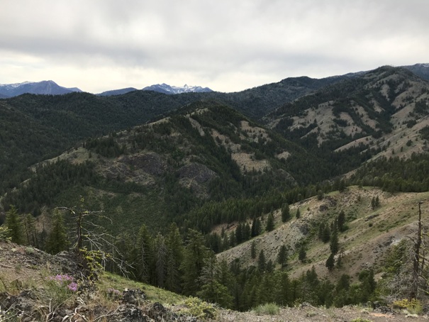
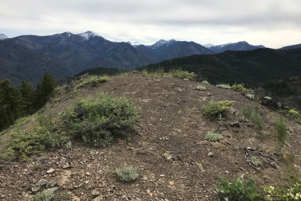
From the highest point, continue south on the ridge 3 minutes to a bald knob for the best views.
Access:
Route:
Summit:
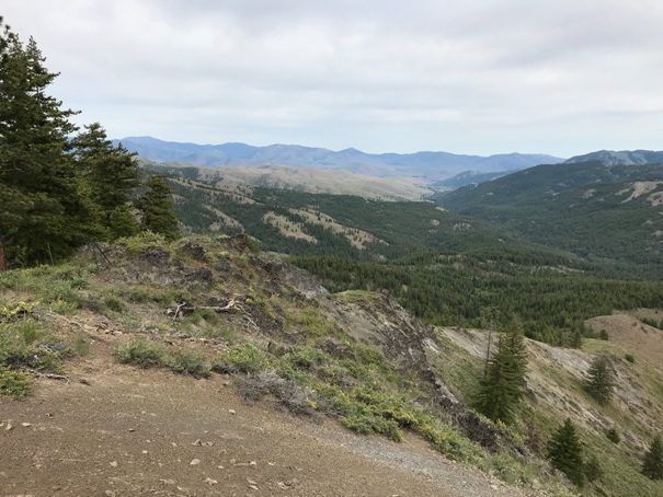
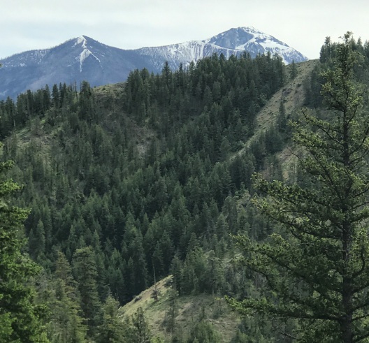
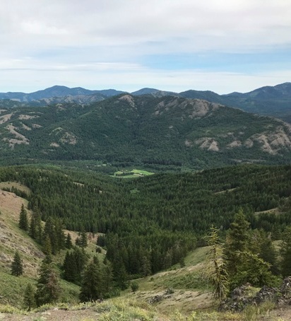

Looking east down the Twisp River Valley
Gate and berm at the parking at the pass
First view of Oval Peak, looked like a road was cut across the north facing cliff.
The final hike up the ridge to the summit
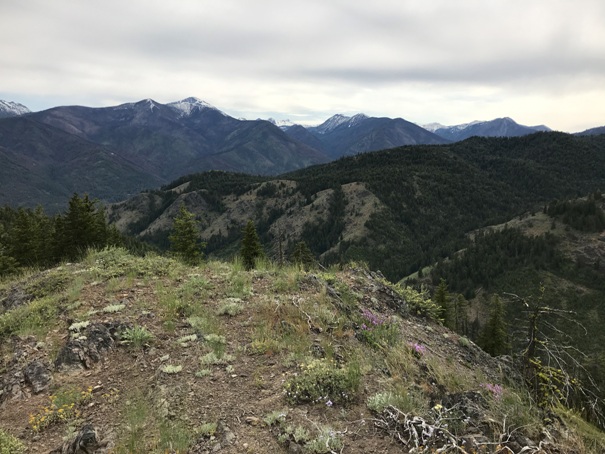
Looking West
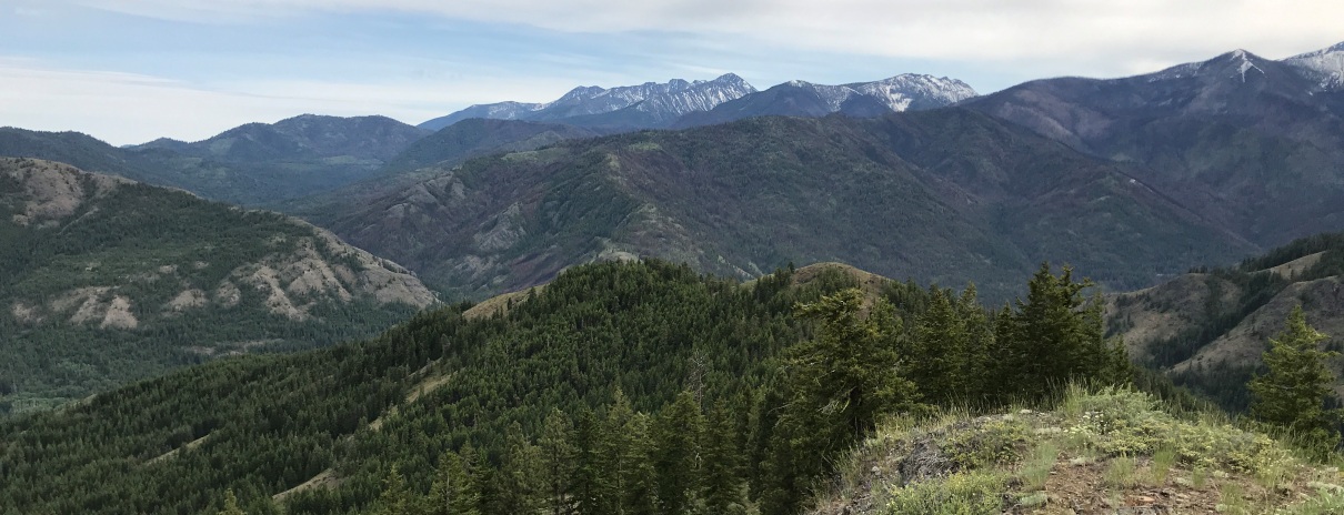
Looking South
Sawtooth Mountains
Open bald to the south of the highpoint
Blue is the old road to walk, leave the road at some point and gain the ridge, walk fenceline to the summit.


