Boundary Mountain/Ridge Lookout Site
WillhiteWeb.com
Lookout Elevation: 5,120 feet
Hiking Distance: 1.3 miles one way
Elevation Gain: 750 feet
Access: Some clearance needed
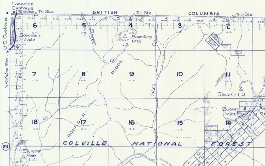
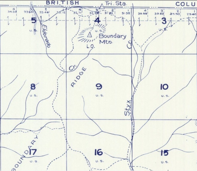
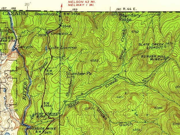
This site was located just 0.3 miles south of the border, at the south end of the summit ridge. This location was all that was needed to see into the United States. Maps in the 1930s show a trail going nearly to the summit. Later maps show an old Jeep trail to the south summit lookout area. In recent past, a timber sale got close to the site but as of 2024, you will have to work for it.
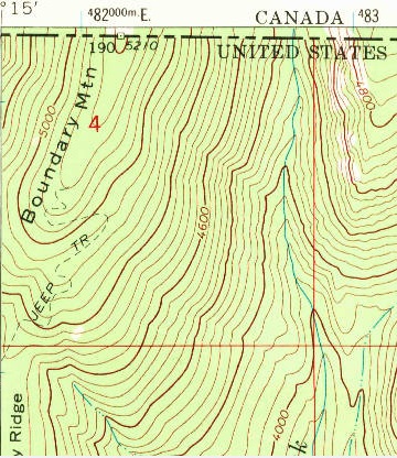
USGS 1967, 1971 updated. Shows Jeep trail to lookout site.
Boundary Mountain L.O. shown on a 1957 Metsker Map
Same 1957 Metsker Map, larger area
Trail on the 1934 USGS map
Lookout History:
In 1938, a 40-foot pole tower with an L-4 cab was built.
Access:
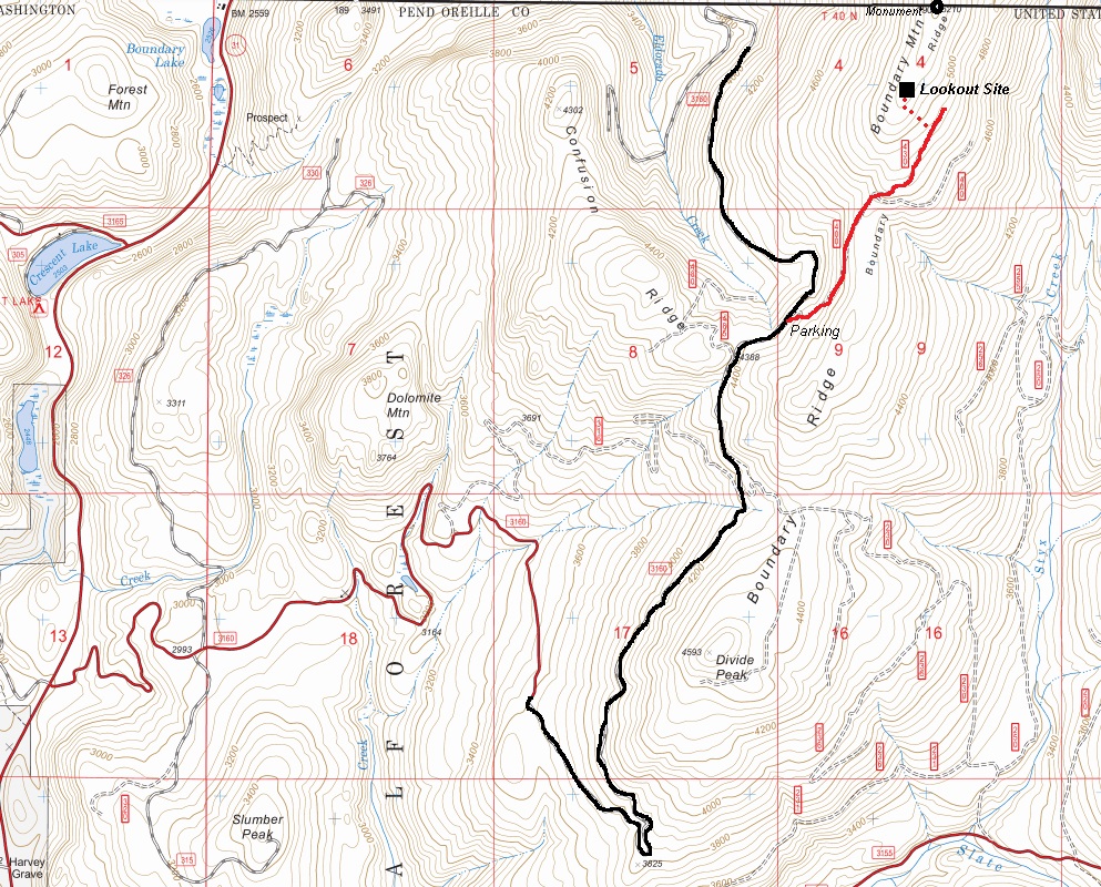
Drive Highway 31 north of Metaline Falls toward Canada. Take the signed Slumber Mountain Road to the right. After a mile or so is a major road to the right. Turn right, and hit a gate. This gate is closed from December 1 to July 1 for wildlife habitat. If open, proceed to 4,400 feet where there is an overgrown spur road on the right (FR 400).
Route:
Hike up FR 400, then 430. These were overgrowing in 2024 and will only get worse until a fire or future timber sale opens them up (if ever). The final few hundred feet were a bushwhack up to the old timber on the ridge near the summit. Some might be interested in continuing past the lookout site to the boundary marker. There is some debate if the true summit is in the US or further into Canada.
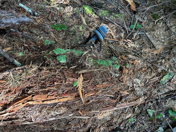
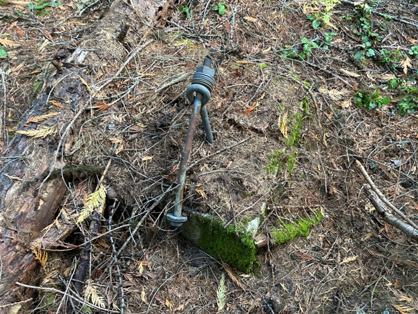
Footing slowly getting buried
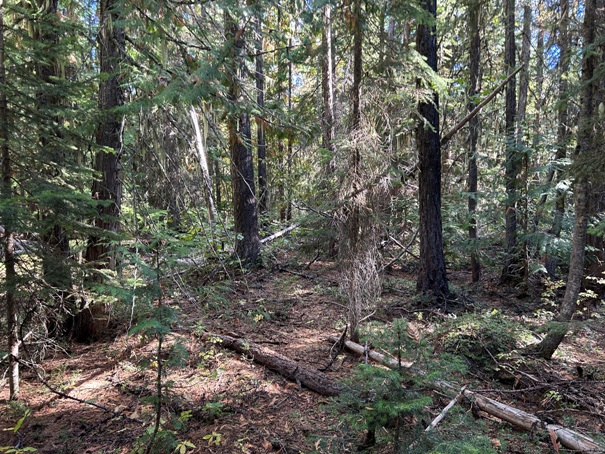
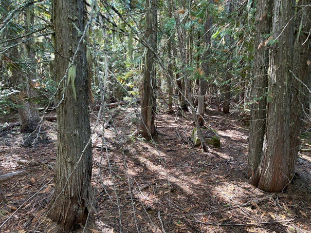
Timber at the site is getting larger
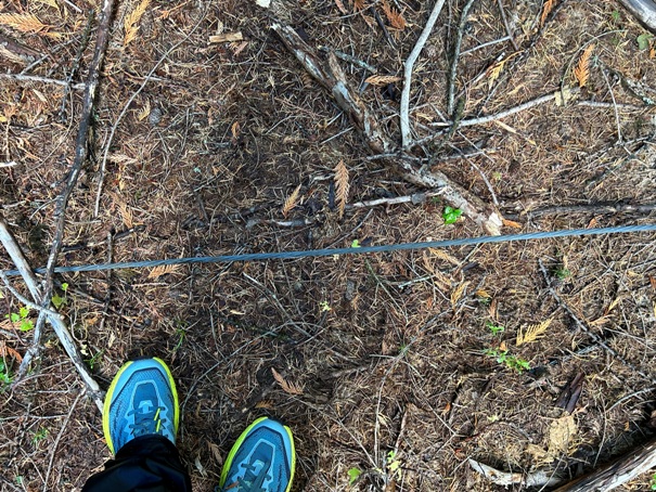
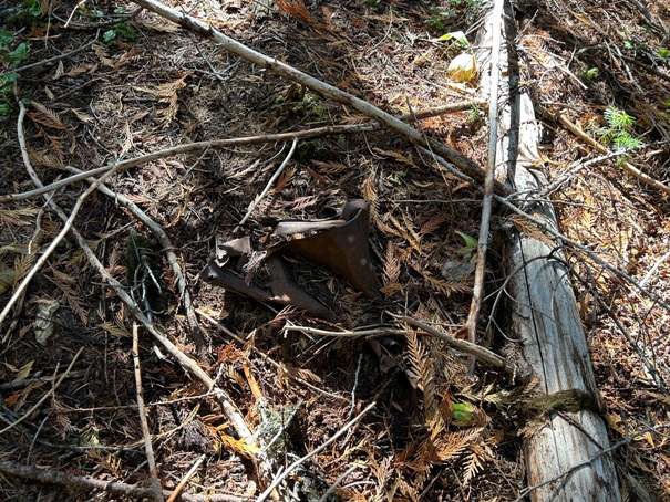
Cable
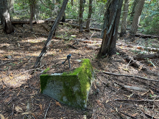
Lookout site with footing visible
Overgrown roads in red. Bushwhack in red dots.


