Bosworth Lookout Site
WillhiteWeb.com
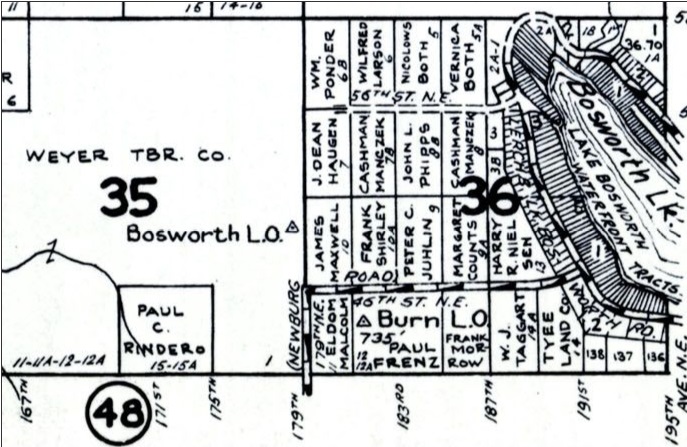
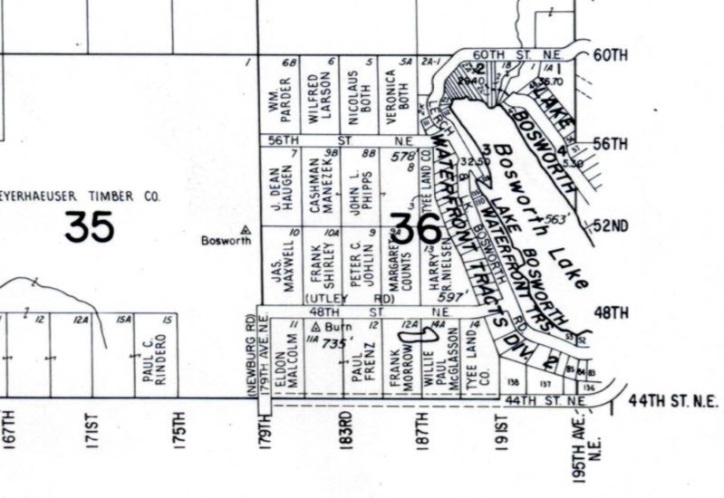
This site is labeled on 1960 Metsker and Kroll maps. Checking out the benchmark with the NGS Data Sheet, we find that the benchmark was stamped BOSWORTH 1941. Reading the surveyer notes, they said that observations were taken form a 103 foot steel tower. They describe the final few feet to this location by taking a trail 75 yards to the top of a ridge. On the crest of the prominent ridge that has been logged off in recent years, near the NW end of the ridge. On the property of the K and K lumber company. A white 4 by 4 witness post is 5 feet west of the station (the main benchmark). In 1961 the Bonneville Power Administration visited the site and made no mention of the steel lookout tower.
Lookout Elevation: Unknown
Hiking Distance: Have not done yet
Elevation Gain: Have not done yet
Access: Private Property


1960 Kroll Map
1960 Metsker Map

