Blue Canyon Lookout Site
WillhiteWeb.com
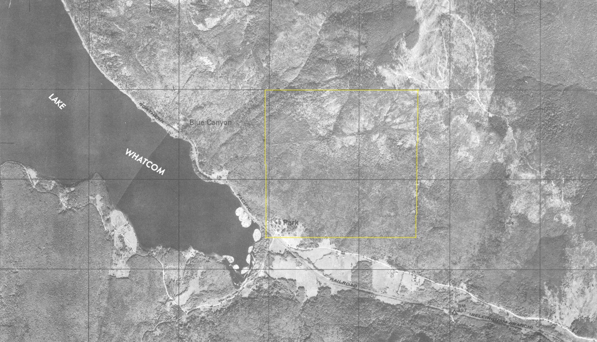
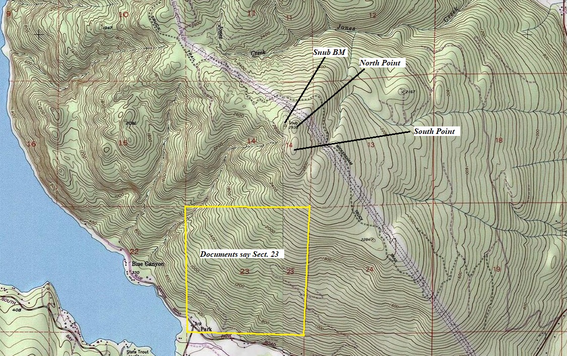
Where was the Blue Canyon Lookout? The Kresek inventory says it was a tower in 1941, he gives no elevation. My independent research found that Section 23 is correct. With both Kresek and I in agreement for Section, Township, and Range, now we just need to find where inside section 23. My documents also say there was a telephone line 5 miles to the town of Wickersham and this was a State lookout. Finally, this inventory list in 1942 says the improvements have been cleared off.
Lookout Elevation: Unknown
Hiking Distance: Have not done yet
Elevation Gain: Have not done yet
Location: Section 23, Township 37 North, Range 4 West
Notes:
There is no evidence to suggest the lookout was at the top of the hill near the Snub Benchmark. I believe others have placed this lookout there.

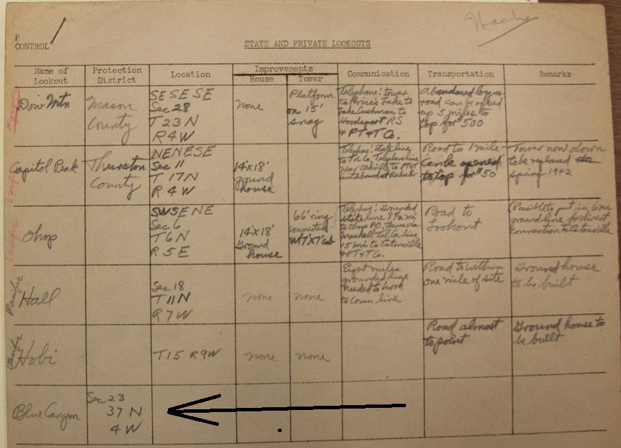
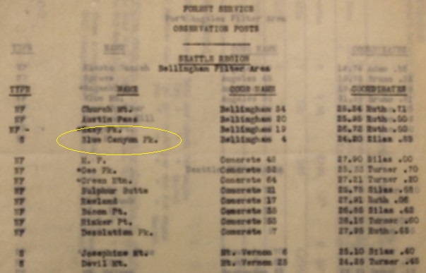
State and private lookout list in Mt. Baker Zone (1942)
State and private lookouts (1942)
List of observation posts. Type is S for State. Blue Canyon Pk.
Below: A 1944 aerial photo of the same area as shown on the topo above. Section 23 shown in yellow.
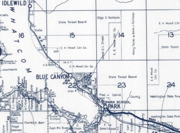
1934 metsker, 1940 revision (nothing shown in section 23)
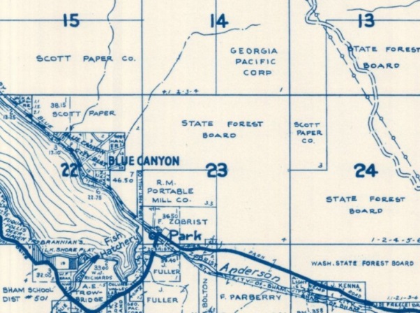
1971 metsker (nothing shown in section 23)
Above: Topo map showing section 23 and section 14 where the highpoint is located.
