Bear Paw Ridge Patrol Point
WillhiteWeb.com
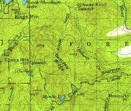
Bear Paw Ridge had a trail along the ridge since at least the 1930s. Being a high ridge connecting several established lookouts, it makes sense the highpoint was used as a patrol point. A phone line ran the ridge as I found an insulator still attached in one section of old timber. The trail shown on maps is long gone but I did find some faint traces here and there.
Lookout Elevation: 4,325 feet
Hiking Distance: 0.4 to 1.4 miles
Elevation Gain: 500 to 1,000 feet
County: Pend Oreille
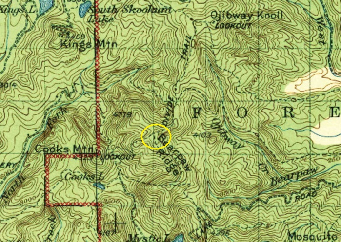
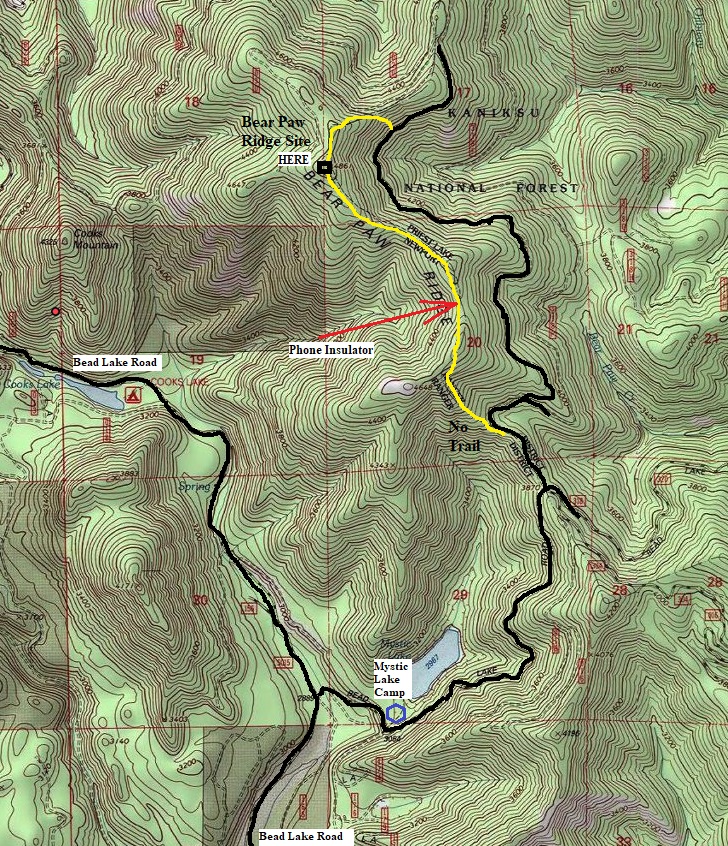
This is Forest Service land and could be approached from a few different directions. I found the road up from Mystic Lake was in general good condition and quick. Higher clearance vehicle is probably best. Snow prevented me from driving right below the summit. Instead, I took the south ridge as shown on the map. The trail is definitely gone and the bushwhack sucked bad at times. But, I did find an insulator making the trek worth it, since I found nothing at the actual summit. For the return, I dropped down to the road and walked the snow-covered road back to my vehicle.
Access and Route I took:
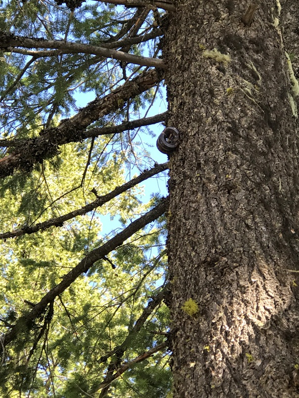
Phone line insulator on the ridge
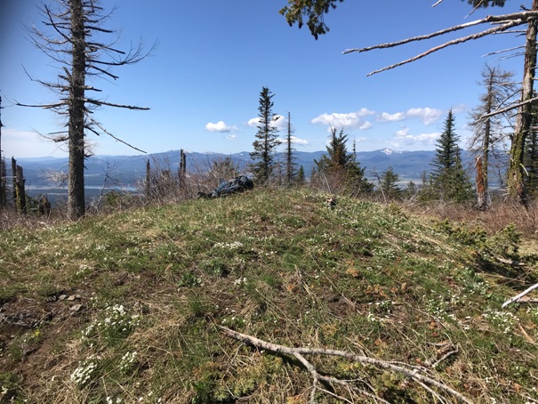
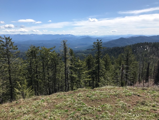
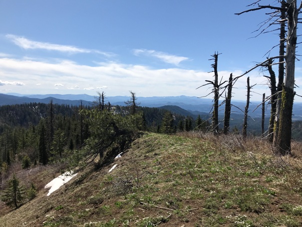
The highpoint at 4,325 feet
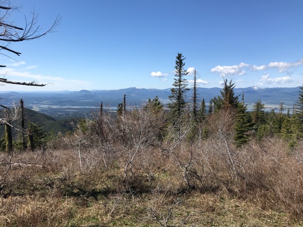
Looking Southeast
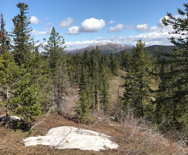
Looking North with South Baldy Mountain in distance
Looking South
Looking West
1936 USGS with 1958 update
(same trails were on the map on the original 1936 version)
1942 USGS
Map showing the route I took (in yellow). I though this would be an old trail hike but it was not.


