WillhiteWeb.com
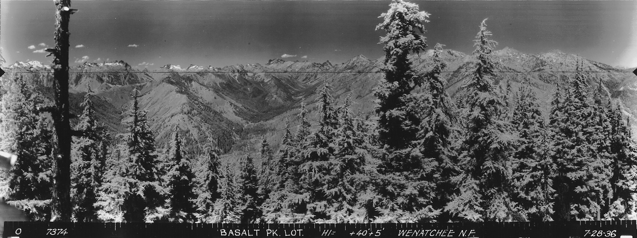
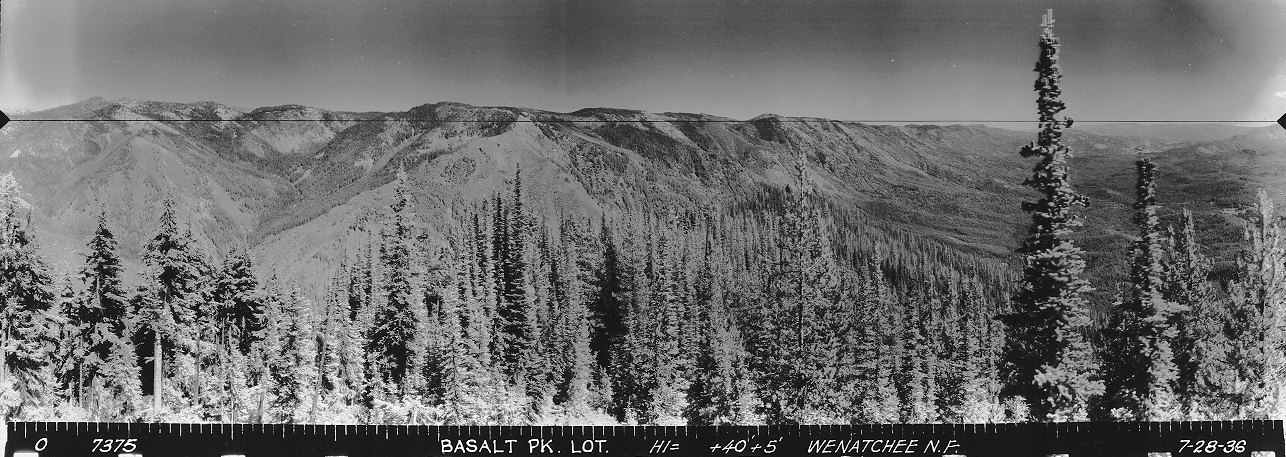
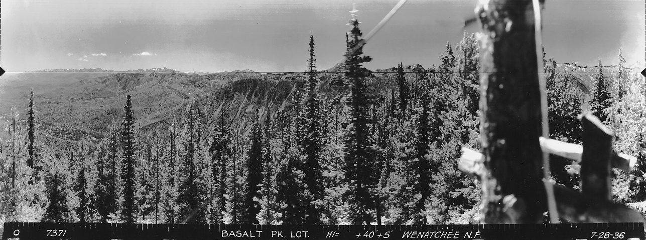
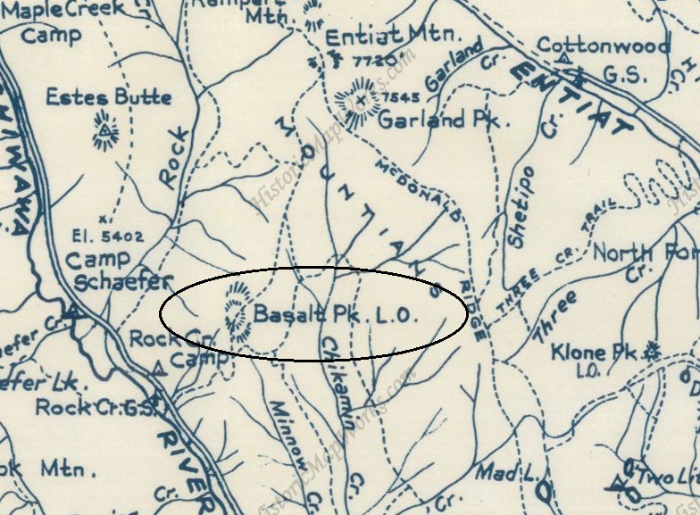
The lookout inventory says this site had an L-4 cab in the 1930s but panoramas taken on July 28, 1936 clearly show the photos taken at 45 feet above the ground with mature trees covering the summit. Parts of the images show a crows nest and anchor cables. This discrepancy in the inventory seems to be solved after some visits by lookout enthusiasts in 2021. It appears that the L-4 cab was on the ground on a nearby, lower knoll. The knoll has a large excavated flat area with rock walls the perfect size for a cab to sit. The platform matches other former lookout sites. Up on the summit, the forest has suffered two major wildfires since the panoramics were taken in 1936. Nobody has found any evidence remaining of the former crows nest. A Wenatchee Daily World newspaper article on September 9, 1935 said that Walter Douglas was serving as temporary lookout on Basalt peak for a few days. During this same time, the nearby Estes Butte lookout was 700 feet lower and had a 40-foot tower. The panoramic images at Estes Butte were taken in 1934, two years prior to the Basalt Peak pictures. Basalt Peak was blocking much of the view from Estes.
Lookout Elevation: 6,004 feet
Hiking Distance: 3 miles ish
Elevation Gain: 2,000 feet
County: Chelan
Basalt Peak Lookout Site
Looking Southeast 1936
Looking North 1936
Looking Southwest 1936
Access:
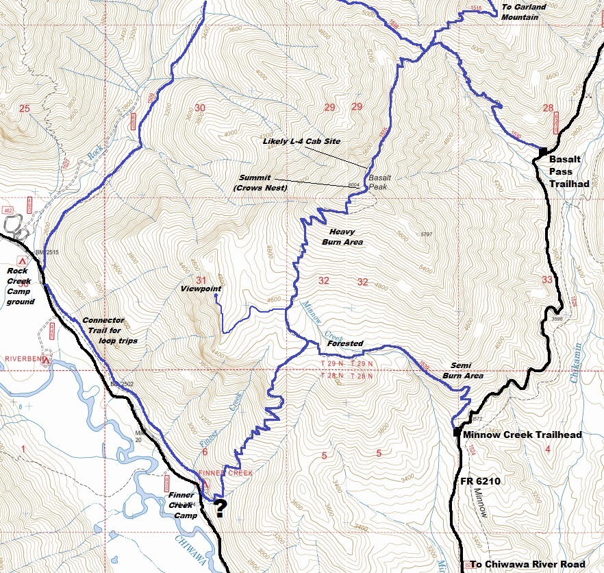
There are 4 trail routes to this location. Take a look at the map for details. A loop trip is even possible. Due to the Chikamin Fire in 2020, many blowdowns exist, but are slowly being cleared by crews. As of 2021, the best route is taking the Basalt Pass trail off the Chikamin Creek Road #6210. This trail starts 5.7 miles up the road.
Cab site with no snow, photo by Kari Darvill
A 1960 Metsker map is the only one I have found so far with Basalt Peak Lookout written on it.
Basalt Pass Trail
From the trailhead at 3700 feet in elevation, the trail climbs to 5200 feet, where it ends at the Basalt Ridge Trail #1515. Go left, hiking up to Basalt Peak. Just before the summit, the L-4 cab site is on the open knob that the trail passes just underneath. A minor trail leads up from the summit side.
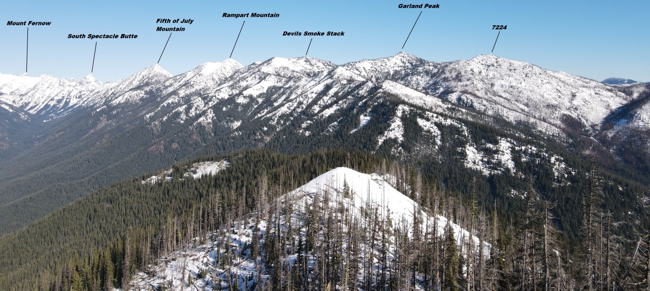
From a drone above the summit trees, looking north. The L-4 cab site was the snow covered knob in the bottom center. Note the same image above, had the trees been gone we could see the cab.
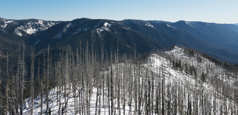
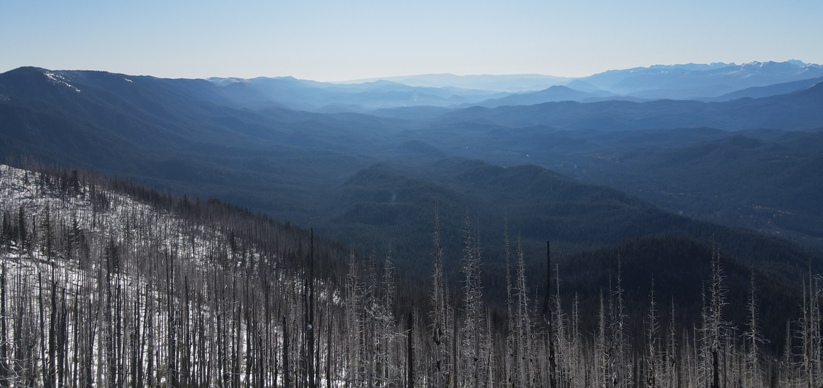
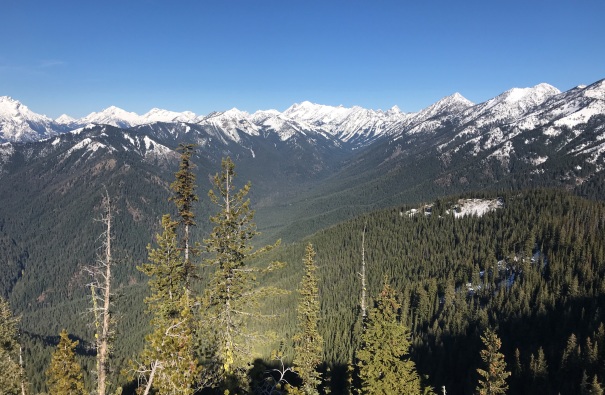
Looking Southeast 2021
Many routes to get to the top
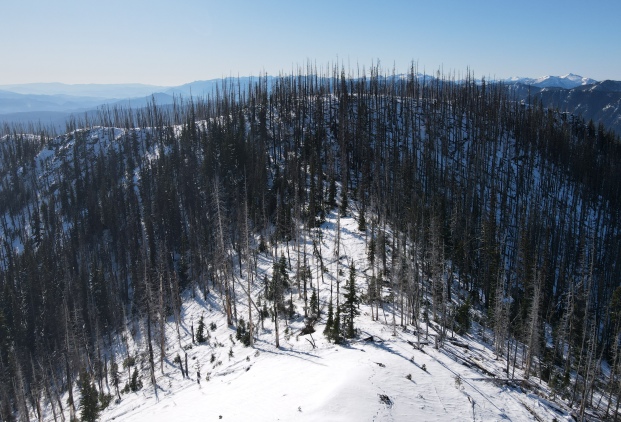
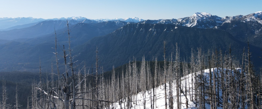
Looking Southwest 2021

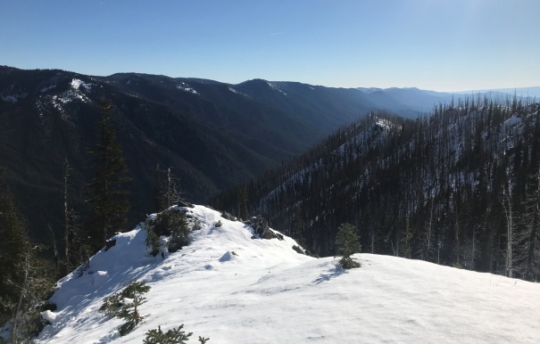
From the L-4 cab site, looking west
From the L-4 cab site, looking SE
From the L-4 cab site, looking up Rock Creek
From drone above the L-4 site looking at the summit where the crows nest was located.
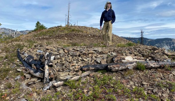
Cab site with no snow, photo by Kari Darvill
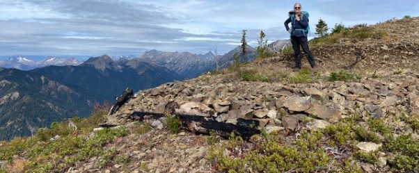
Looking North 2021


