Lost Lake AWS Site (White Star)
WillhiteWeb.com
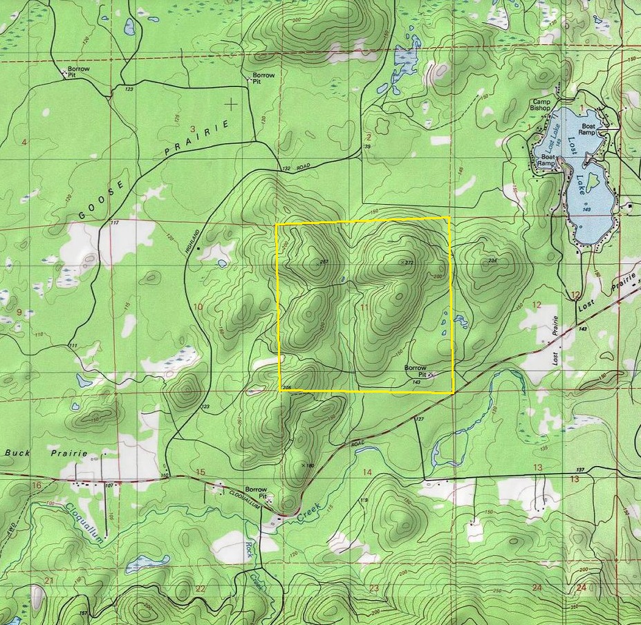
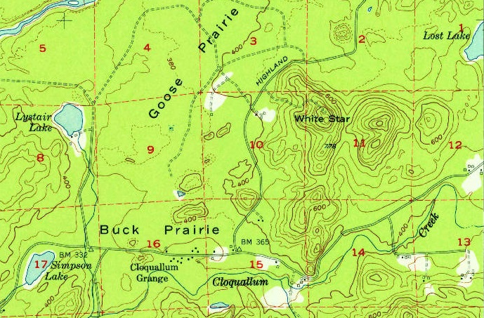
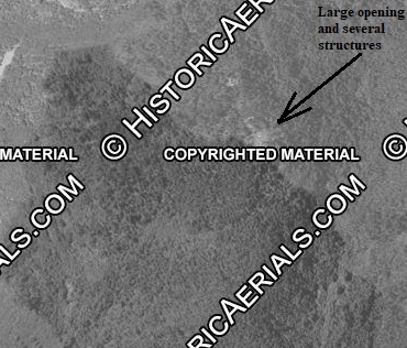
Documents have only narrowed down the location to Section 11. Within this section, there are three knobs that might provide good sky views. At the time, only the most western knob had a good road on maps. This knob was also officially named as White Star. In 1951, the aerial photo seems to show a major clearing at the top, along with several structures. The telephone line document below also makes it the most likely spot. I definitely think the AWS site was at this western location, especially since the low flying enemy aircraft would be best seen from the western knob. Today, aerials show the forest has covered all signs of the facilities that were at the top.
The 14 by 32 foot cabin was newly constructed, built by the AWS. It was retained after the war for the State of Washington. According to the nearby Dayton Peak Fire Lookout history, the structure was moved to Dayton Peak in 1946.
Do not confuse this site with the White Star Lookout site several miles to the south.
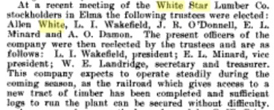
The White Star Lumber Company was in existence from around 1911 to 1933. Their headquarters was just 5 miles away in the town of Whites (midway between Elma and McCleary). The lumber company owned much of the land in this vicinity. It was named by Northern Pacific Railway officials, for Allen White, who built a sawmill in 1890, and operated it for many years. There are numerous photographs of this logging company in the online UW photo collection if you search for Clark Kinsey photographs, circa 1920-1940.



Have not visited yet.
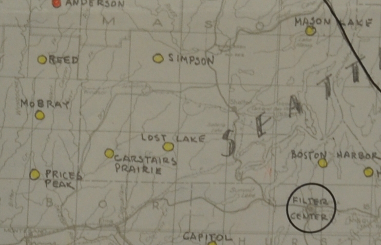
Lost Lake on the AWS map
1951 aerial photo shows a large opening at the summit and some buildings. If I had a photo without the watermark, I would zoom in closer for a better look.
Lost Lake was newly constructed with AWS funds on private land, to be retained for the State of Washington. A 14x32 cabin built with AWS funds.
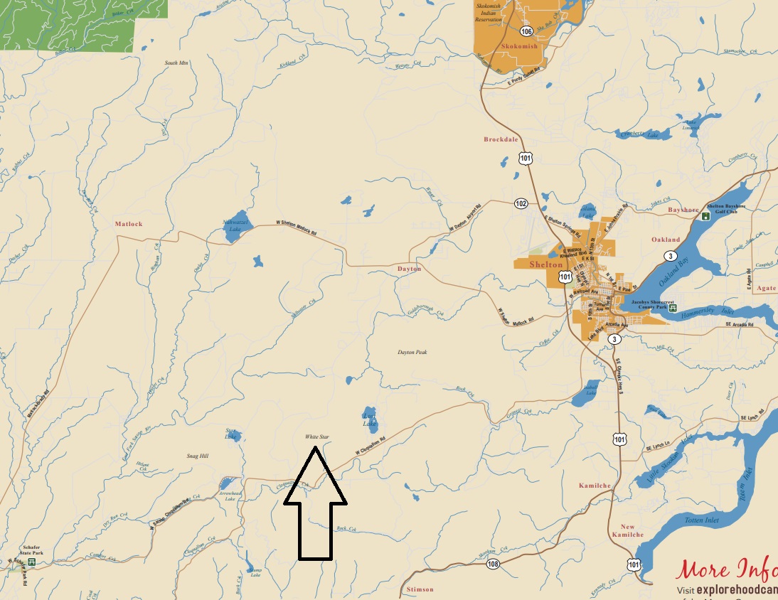
This is a tourist map on line now that has White Star labeled, similar to others like Dayton Peak, South Mountain and Snag Hill.
Shows the location of Lost Lake site in Section 11, Township 19 North, Range 5 West.
Telephone line ran down Highland County Road to Cloquallam Road. You can see on the 1953 map that the original access off the Highland Road was about 3.5 miles up from the Cloquallam Road.
Section 11 marked with the knob in the NW quarter being the most likely candidate.
1953 USGS, 1956 update. Shows the access road up to White Star off Highland Road.
American Lumberman clip on May 25, 1912, shortly after the White Star Lumber Company was formed. Company named after Allen White.


