Addy Mountain
WillhiteWeb.com
In 1934, the USFS built a tent with wood floor, lightning protection and telephone. A CCC inspired Adirondack lean-to made with cedar ship-lap lumber served as a supply cache and emergency shelter.
In 1945, during WWII, a Japanese Balloon Bomb exploded near the site starting a small fire. A steel ring from the bomb was recovered.
Slide Creek Road Access:
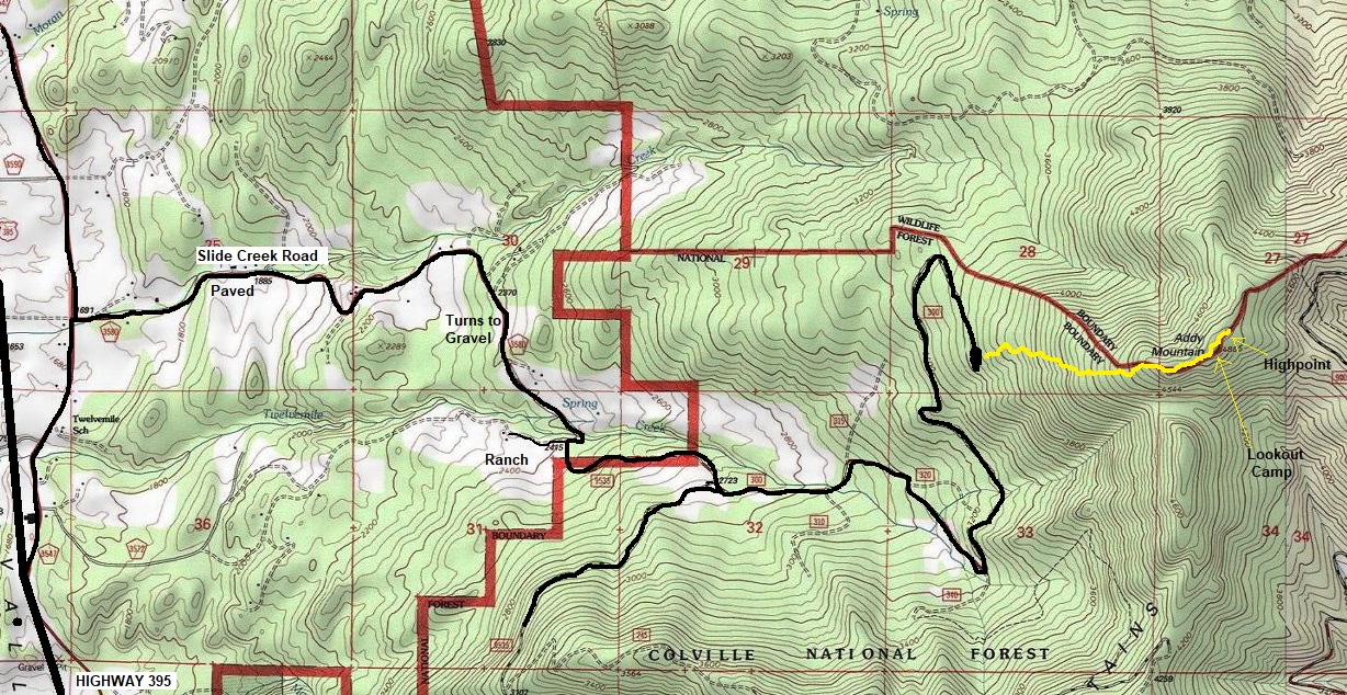
Take Highway 395 north of Chewelah and Addy. Turn right on Old Highway 12 Mile Road, then another right in one mile on Slide Creek Road. Follow Slide Creek Road (paved) until it becomes gravel, continue until you hit a ranch and the National Forest access is a sharp left. Just follow the road to a major Y, going left and following the road to the end. (use provided map). Road can be done in any vehicle with care.
Lookout Elevation: 4,872 feet
Hiking Distance: 1 mile
Elevation Gain: 1,300 feet
Prominence: 2,525 feet
County: Stevens
Route:
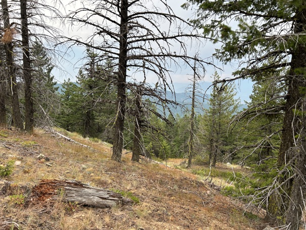
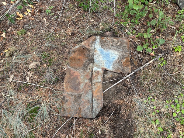
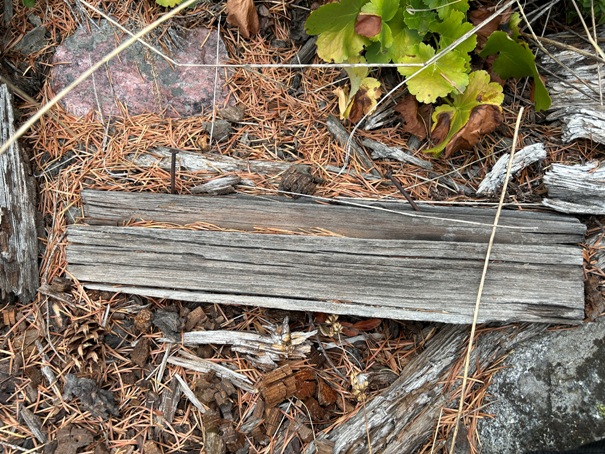
Just head up the slope to the summit. Unfortunately, this route is forming brush and no longer is easy walking. Significant zigzaging on the slope can avoid most large patches of brush. The summit has a few high points, I found the metal, nails and wood on the west peak of the highest peak. I did not see any phone line remains.
Lookout History
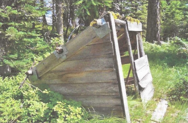
Addy Storage Shelter (date unknown)
Some metal at the summit
Wood and nails at the summit
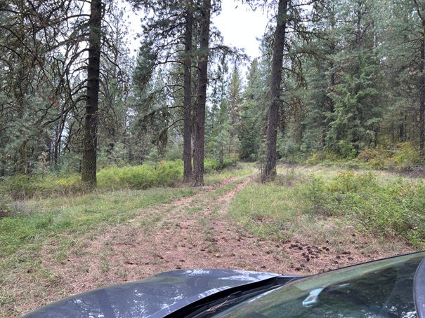
Parking area
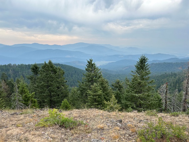
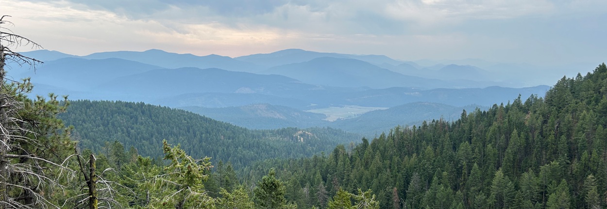
Views from near summit
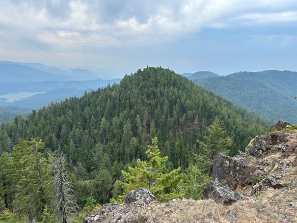
View of a south summit in route to summit
Open upper slopes
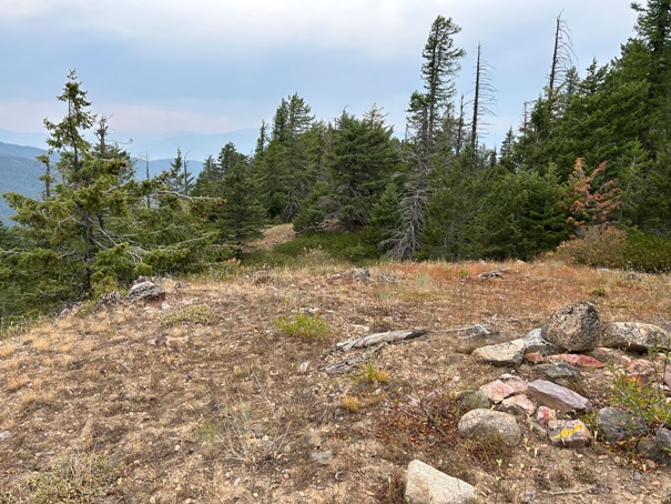
Summit area
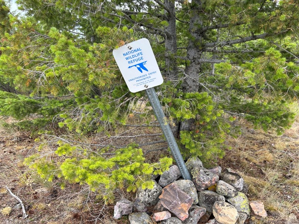
The summit ridge is the boundary of a National Wildlife Refuge
View on summit ridge


