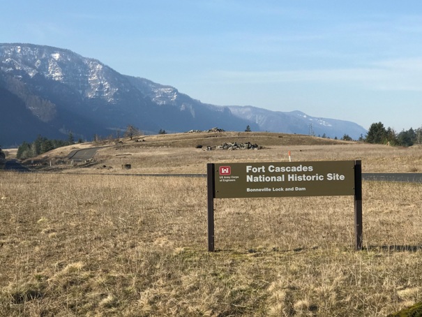
Fort Cascades National Historic Site
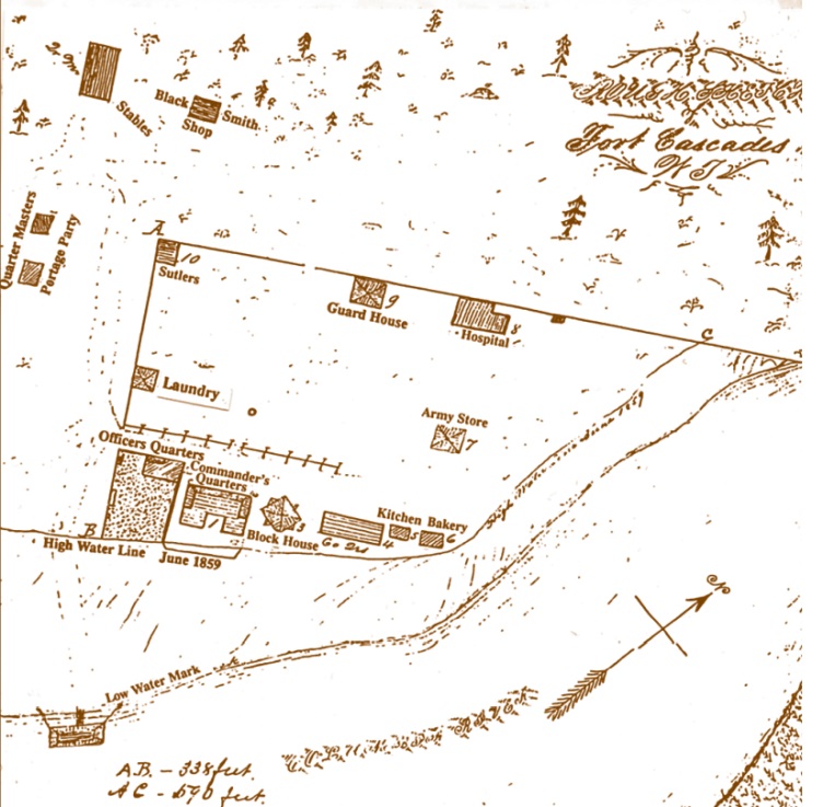
In 1856 the Army appropriated a 416-acre tract of land for the Fort Cascades compound, which was enclosed by a 590-foot fence on the north and a 338-foot fence on the west. The river bank formed the east and the south boundary along which a blockhouse provided defenders a strategic view of the river.
WillhiteWeb.com
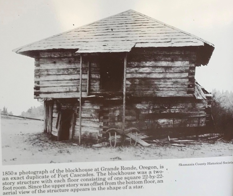
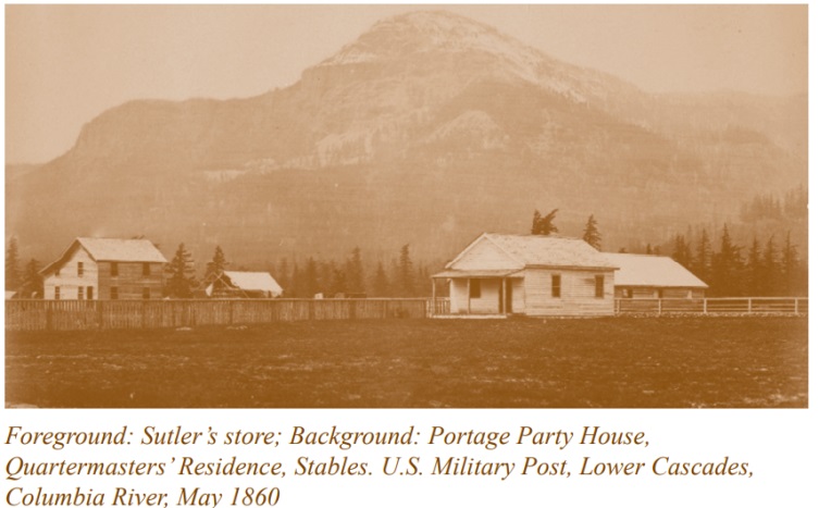
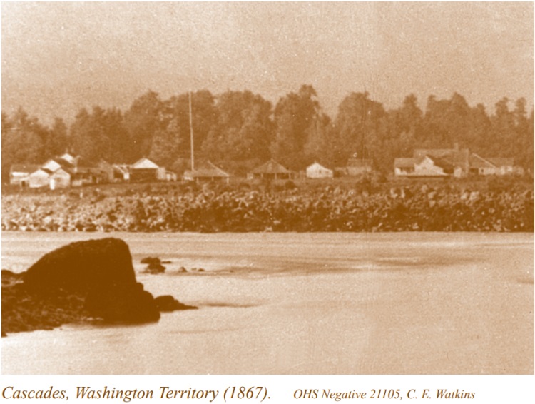
During the Army's occupation, a complement of about 70 troops from the Fourth and Ninth Infantries manned the three blockhouses. Life for the soldiers was far from attractive, with the strenuous work constructing buildings and the military road. In addition, many were uneasy over the possible recurrence of Indian hostilities. The rain, ice and constant dampness in the Gorge made living conditions even more miserable.
Sketch map of Fort Cascades in 1859
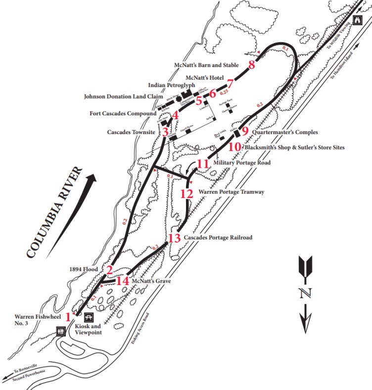
Park map with interpretive trail numbers.
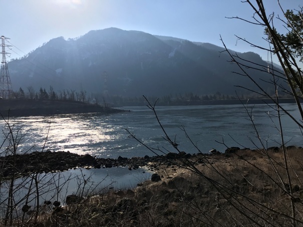
Columbia River
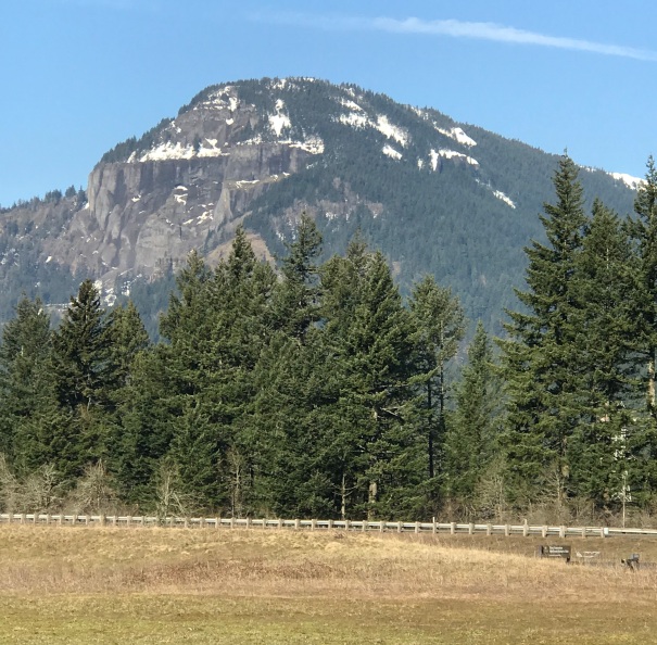
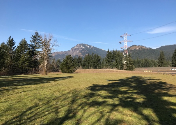
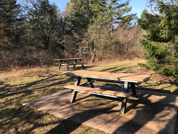
Views from the park
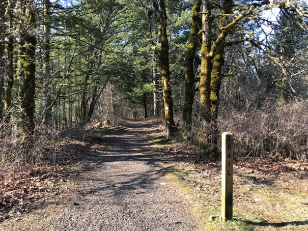
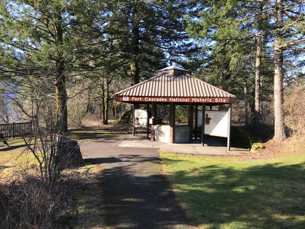
Interpretive trail
Information station


