Apple Orchard Mountain, Virginia
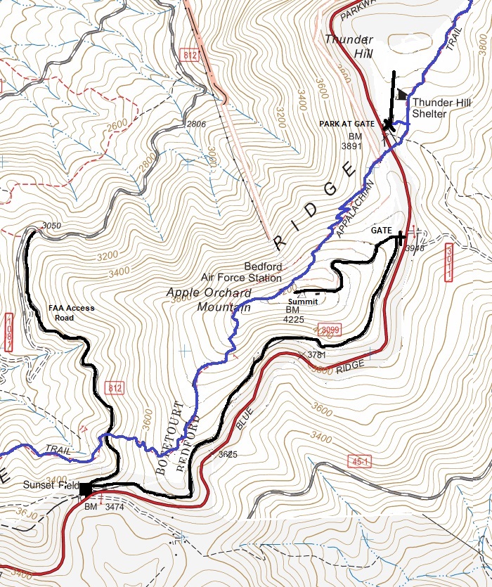
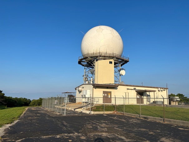
The highest point in the Peaks of Otter area of Virginia is Apple Orchard Mountain. The Appalachian Trail runs right over the summit. The most notable thing about the summit is the giant FAA Radar Dome. It is visible for miles before reaching the summit. The Blue Ridge Parkway also runs just under the summit and the AT can be taken from either side of the mountain to hike up to the top. The highest point is a small scramble in some large boulders at the summit outside of the fences.
WillhiteWeb.com
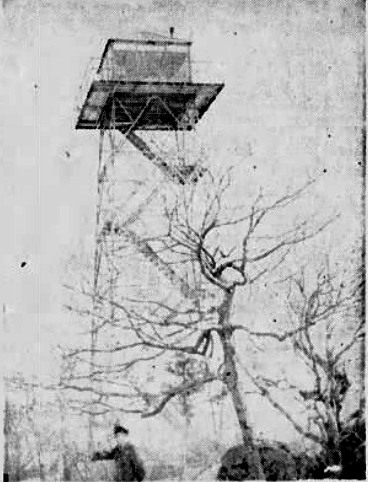
In August of 1933, the lookout man on Apple Orchard, saved a boy from death by a rattlesnake bite. After sustaining a bite from the reptile, the boy, on his way to the tower, killed the snake. William Dawson (the lookout), applied a tourniquet, and telephoned to another camp for a suction pump, which arrived an hour and a half later. With the life-saving instrument he removed the venom, and within a few days the youth was reported out of danger.
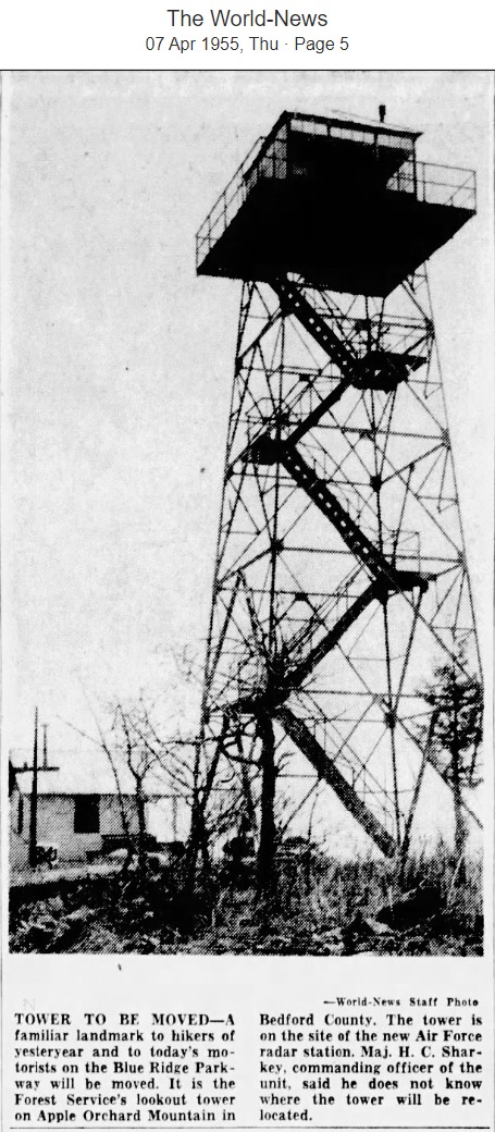
In 1955, the site was taken over by the Air Force for use of a long-range air-defense radar facility known as Bedford Air Force Station.
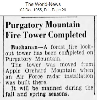
The tower was moved to Purgatory Mountain in Botetourt County sometime between 1955 and 1958. It was said to be a 60 feet tall structure and had a 14 X 14-foot cab.
Fire Lookout History:
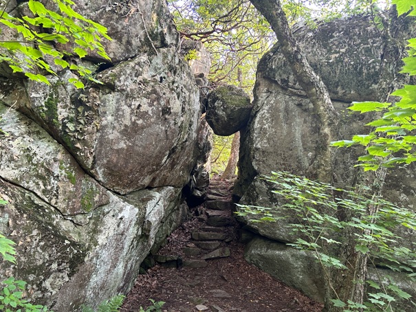



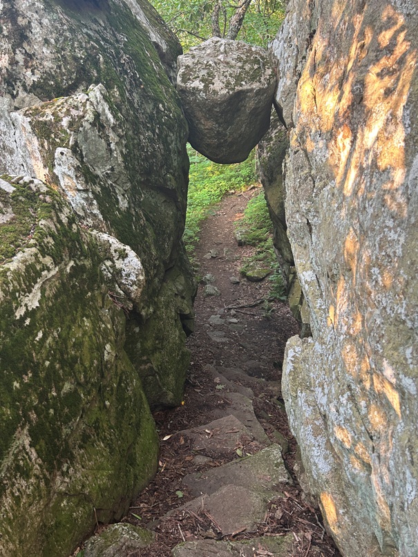


The AT passes under this boulder wedged between rock walls
From the other side of the trail
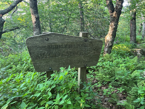
Thunder Ridge Wilderness
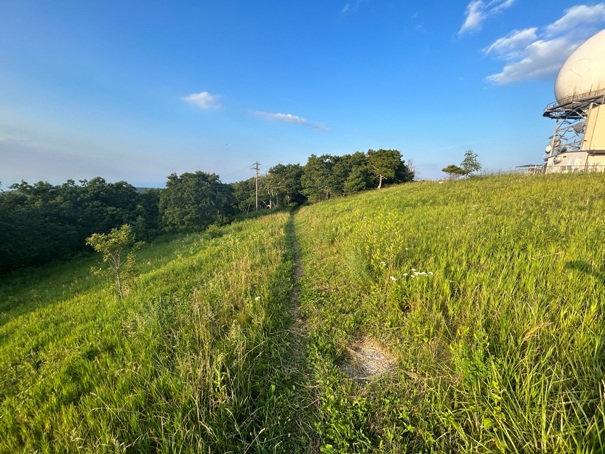
Approaching the summit from the south
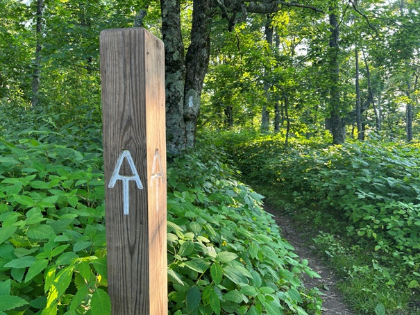
The AT passing just below the summit
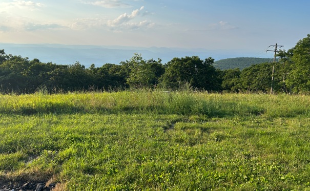
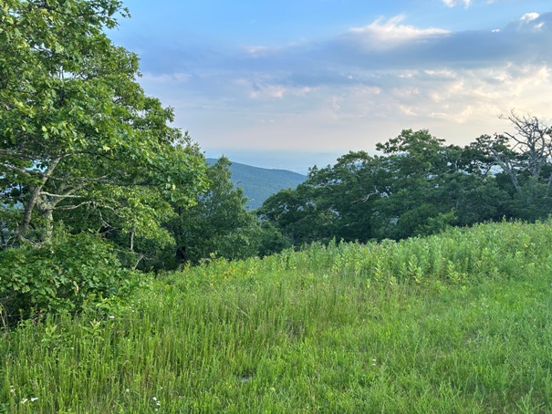
Summit views
Flat Top Mountain (Peaks of Otter)
Summit views
FAA Radar Dome

At one time, there were 3 radar domes on Apple Orchard Mountain
A nice AT camp hiding at the true summit next to the summit rocks
AT trail in Blue
Status: Former Lookout
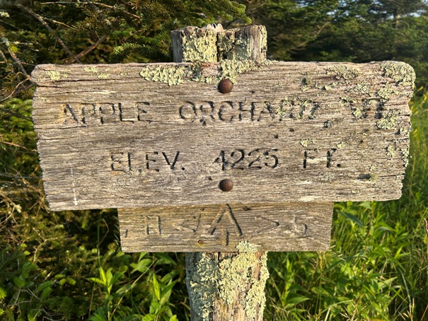
Elevation: 4,225 feet
Prominence: 2,825 feet
State: Virginia
County: Bedford & Botetourt (County Highpoint)
AT Access: Trail over the top
Mile Marker: 771.3
