Flat Top Mountain, Virginia
(Peaks of Otter)
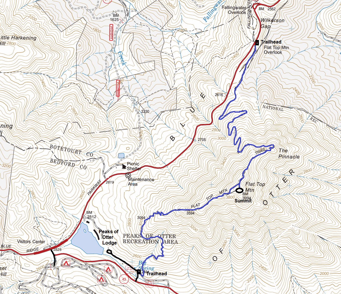
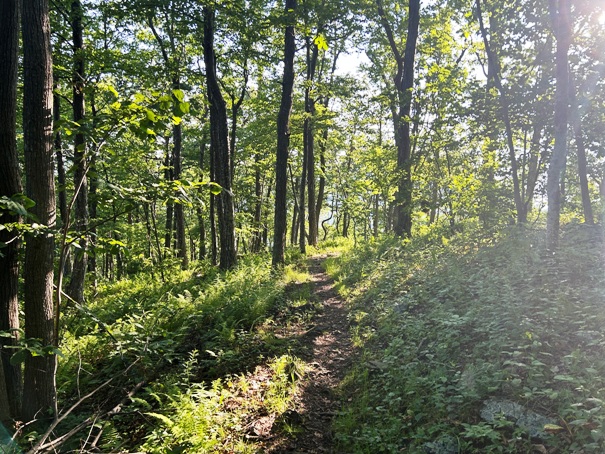
One of the three Peaks of Otter, Flat Top is a neighbor of Sharp Top, not nearly as popular but 200 feet taller. It has three good viewing spots but all three are separated by short spur trails because as the name suggests, the summit is flat and full of trees. There are two trails to reach Flat Top Mountain (see map). Both are good but the longer north one is more gentle, the south one from the lake is steeper.
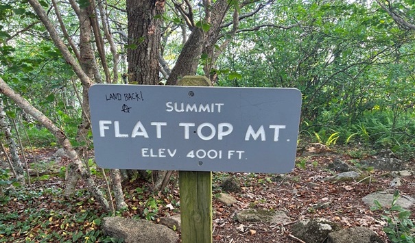
Summit Elevation: 4,001 feet
Hiking Distance: 2.6 miles from Blue Ridge Parkway
Hiking Distance: 1.8 miles from Peaks of Otter Lake
Elevation Gain: 1,500 feet
Access: Paved
WillhiteWeb.com

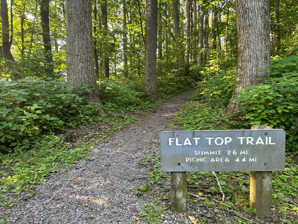


Trailhead off the Blue Ridge Parkway
Summit sign
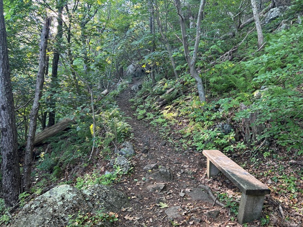
Bench
Good morning
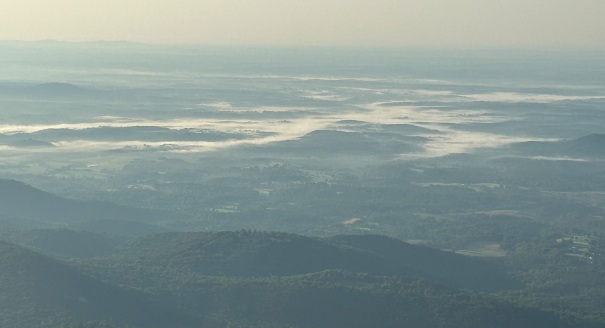
Fog
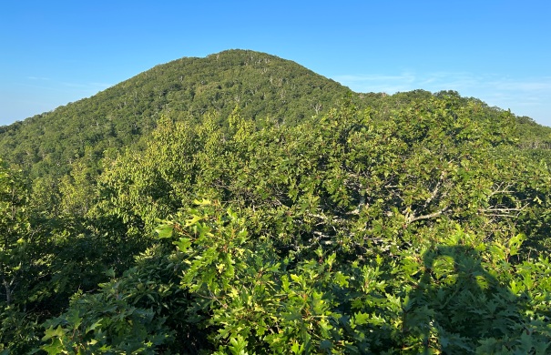
The summit from The Pinnacle, a short rock scramble off the trail to a very minor viewpoint
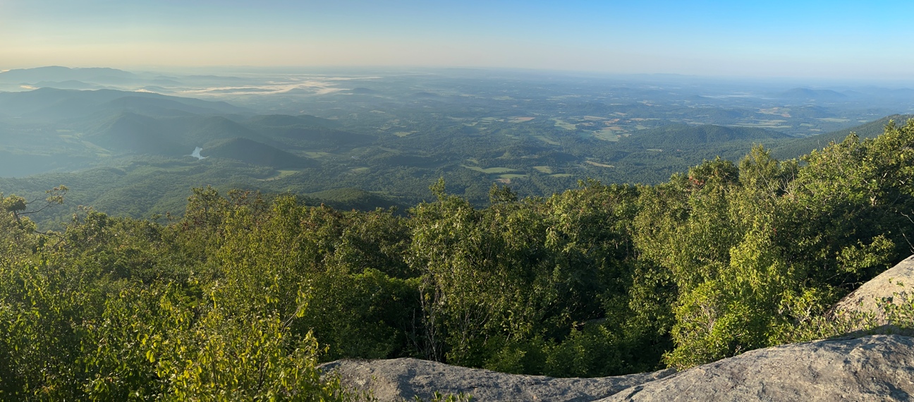
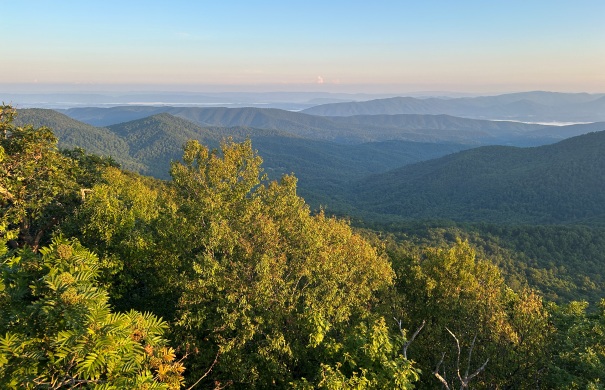
VIew from a viewpoint near The Pinnacle
Summit viewpoint to the North
Summit viewpoint to the South
Morning light with view north to Apple Orchard Mountain and its FAA Radar Dome on the summit
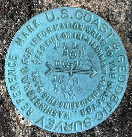
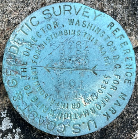
At the summit, I noticed a few directional benchmarks but I could not find the main station mark.
Directional No. 1
Directional No. 3


