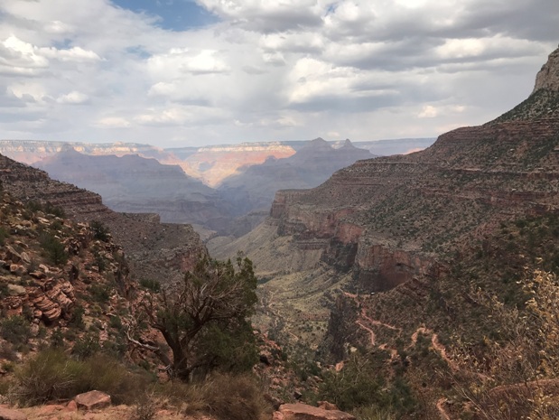
South Kaibab - Bright Angel Trail Loop
WillhiteWeb.com
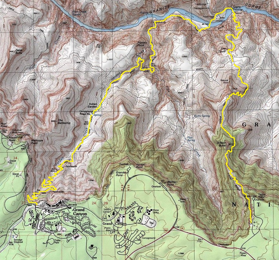
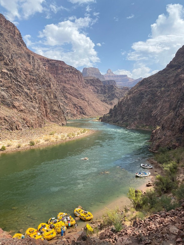
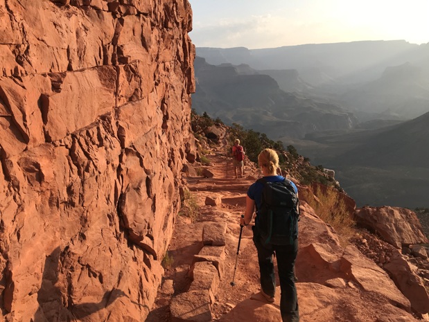
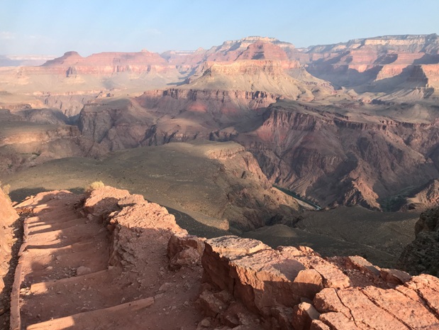
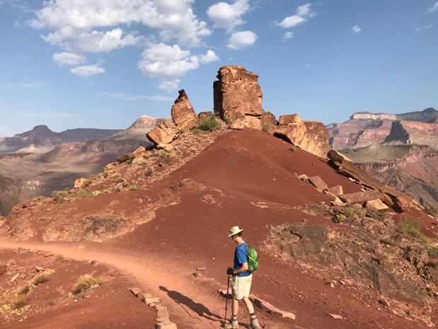
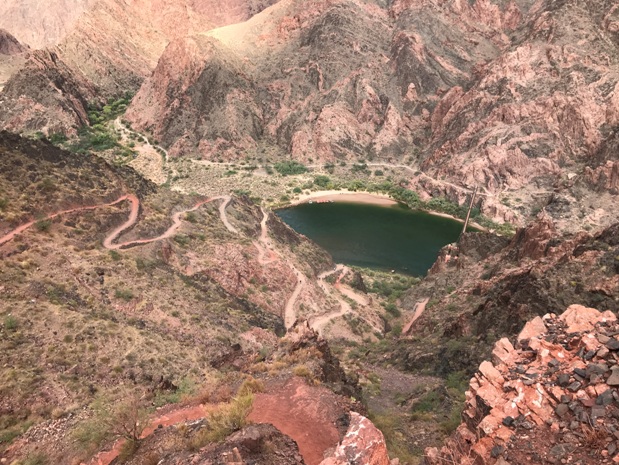
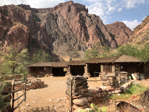
Hiking to the bottom of the Grand Canyon is probably on most hikers bucket list. To do so is pretty easy if you are a fit hiker. The most popular two trails can be combined as a 16.5 mile loop trip. Hike down the South Kaibab Trail, cross the river, go a half mile, then cross back over the river taking the Bright Angel Trail back up to the rim. This route is preferred since there are water stations along the climb back up on the Bright Angel Trail. The South Kaibab Trail has no water. This loop will also allow you to cross both bridges at the bottom of the canyon. An easy side trip can be a visit to Phantom Ranch at the bottom. On the rim, you can take a shuttle bus between the trailheads or hike 5 miles on the rim trail to complete the loop.
Hiking Distance: 16.5 miles
Elevation Gain: 4,400 feet via Bright Angel Trail
South Kaibab Trail
Start Elevation 7,260 feet
End Elevation 2,480 feet
Total Loss: 4,780 feet
Distance: 7 miles
Bright Angel Trail
Start Elevation (Bottom): 2,480 feet
End Elevation (Top): 6,860 feet
Total Gain: 4,380 feet
Distance 9.5 miles (one mile is on river bottom)
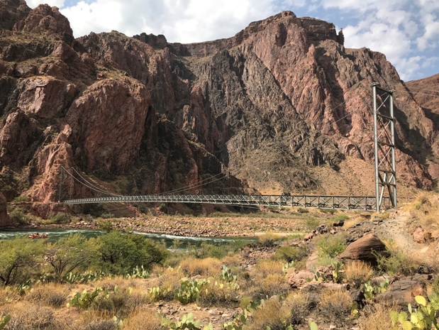
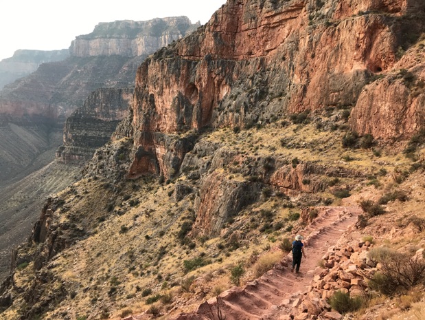
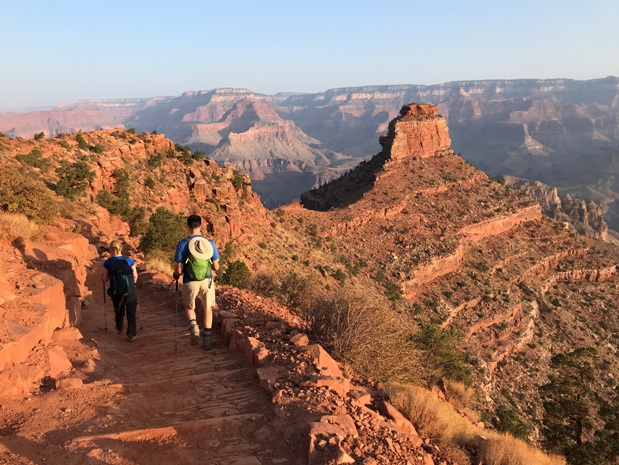
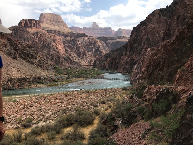
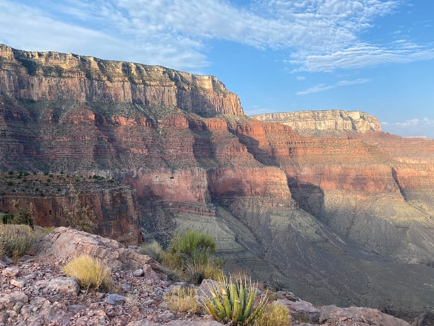
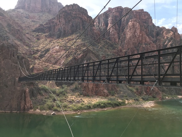
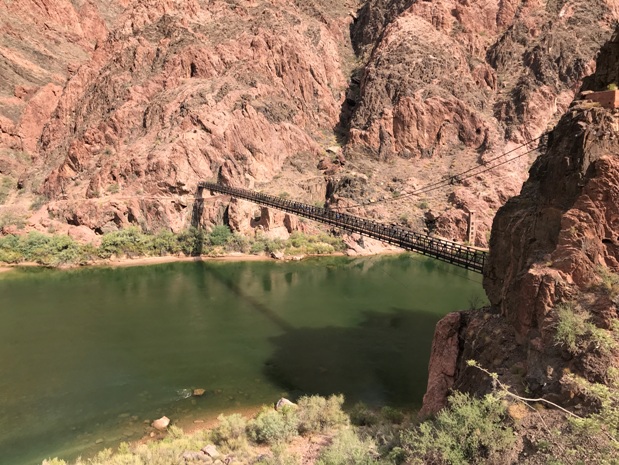
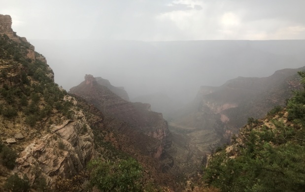
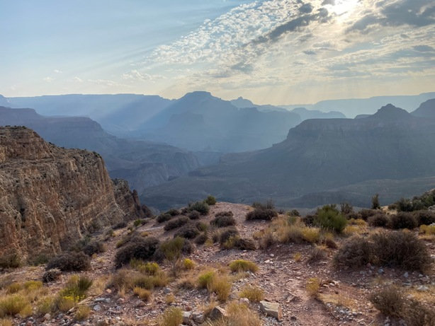
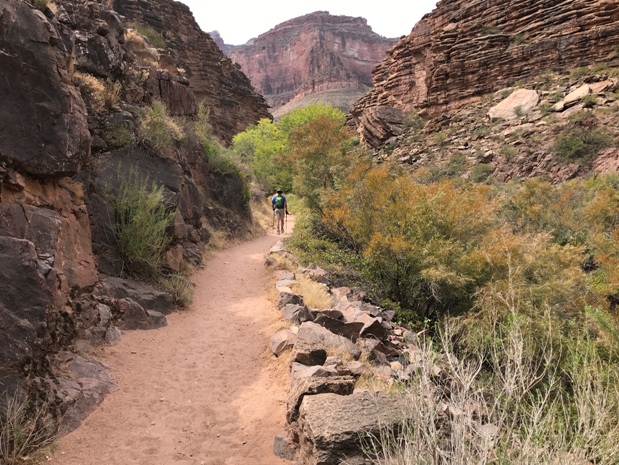
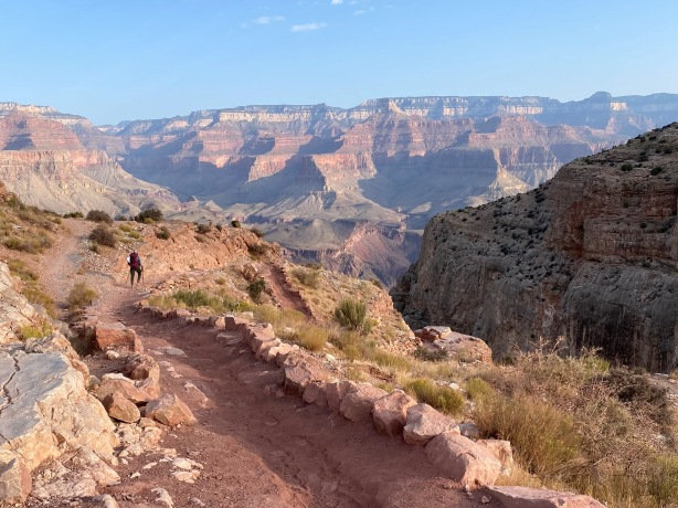
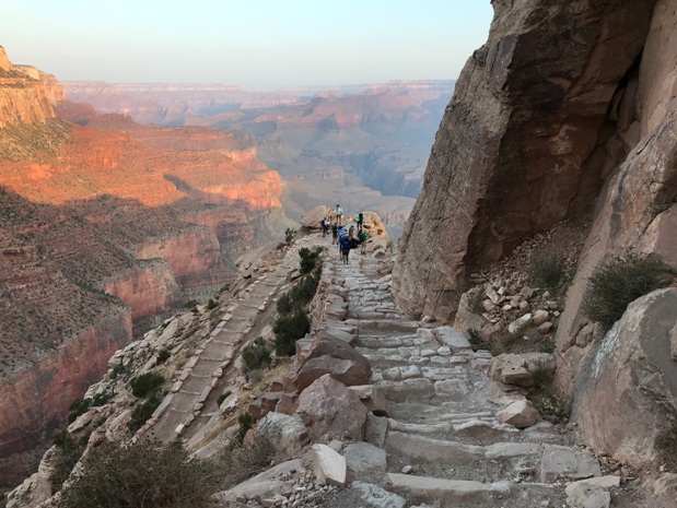
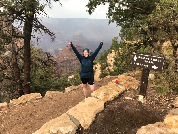
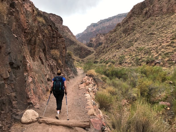
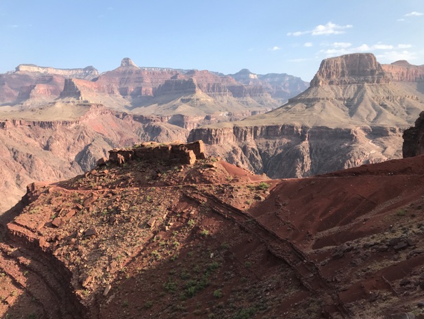
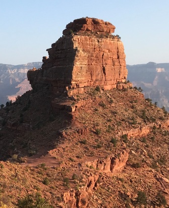

Kaibab Suspension Bridge
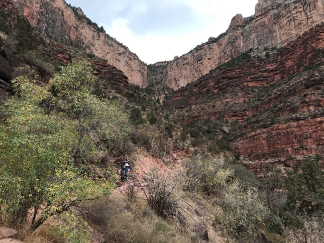
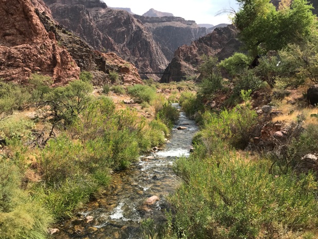
Bright Angel Trail down near bottom of canyon
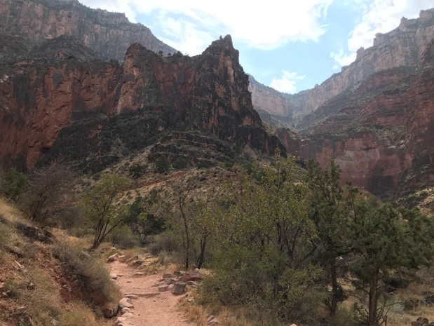
Bright Angel Trail at Indian Garden
Ooh Aah Point
Bright Angel Suspension Bridge


