Quiemuth Peak
Elevation: 2,922 feet
Prominence: 762 feet
WillhiteWeb.com
This is the highest point in Thurston County. The mountain was only recently named in 1993 honoring Nisqually Chief Quiemuth. The summit has no views and the off-trail hiking sucks, only go if you want to claim a county highpoint.
Access and Route:
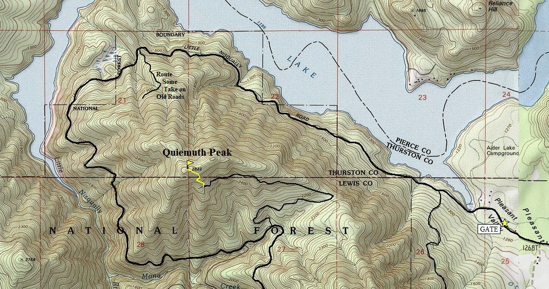
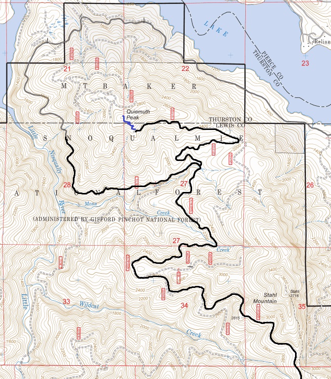
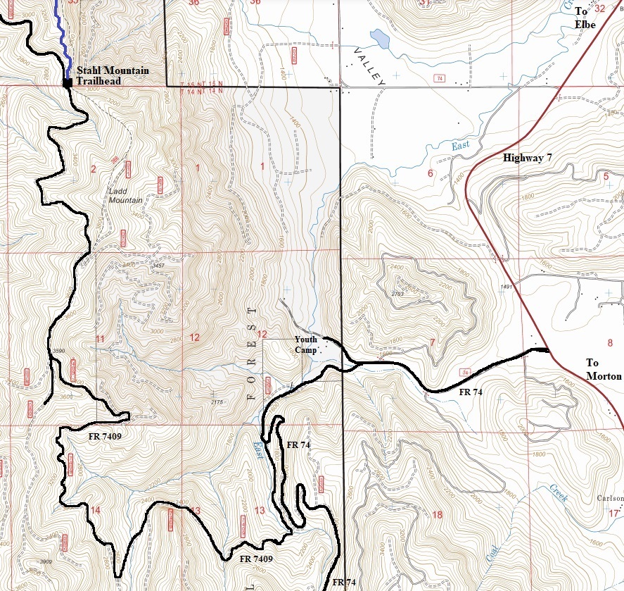
Most peakbaggers approach from the gated FR 74 at the end of Pleasant Valley Road on the north side, hiking 3 miles on pavement, then taking a series of abandoned roads and some off-trail or even bushwhacking up the north sides. But, there is a better route from the south on Forest Roads that gets one higher up and likely closer. When I did the mountain in 2004, you could drive to within a half mile of the summit. The final 1.8 mile spur road is now an unknown. I have not known anyone to drive or walk it for the past several years. I would guess it is still ok to at least walk but few attempt this route because there is a lot of driving on Forest Roads to find it (this is half the fun to me).


From the NE
Quiemuth Peak from Alder Lake near the Eatonville Cut-off Road during the 2015 Alder Lake Fire.
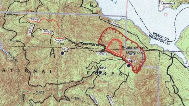
2015 Alder Lake Fire map
2015 Alder Lake Fire the day it started really going
Map showing FR74 Gate approaches
Once the snow melts, I do know you can drive well past the unmarked Stahl Mountain Trailhead


