Wallace Falls State Park
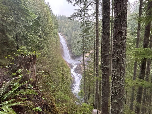
Wallace Falls State Park is a day use park designed for hikers. The main feature is the Wallace River with three major waterfalls, but you have to hike to them. For those willing to go further, there is Wallace and Jay Lakes. Although the lakes are not that interesting, the loop trip available is one of the better hikes when the rest of the Cascades are under a blanket of snow. Each lake has one first-come first-served backcountry camping site (5 miles to Wallace, 6 miles to Jay). The park also offers some satalate properties, with some rock climbing near Index and some swimming in the Skykomish River 5 miles to the East at Big Eddy. At the park entrance are 5 cabins and 2 private walk in camping sites with picnic tables and fire rings.
WillhiteWeb.com
The Falls Trail
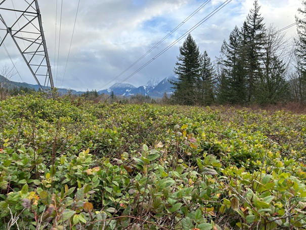
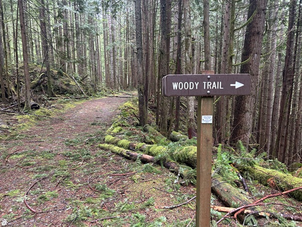
The trail from the parking lot starts quite ugly on a old road below powerlines. Luckily, once past this section, the forest is grand. Shortly after entering the forest, the trail splits. You will want to choose the Woody Trail (right) to reach the waterfalls and return by the Railroad Grade Trail (left). This gives you a loop trip for the lower portion of the trail. The lower falls are reached in 1.8 miles, the middle falls at 2.1 miles and the upper falls at 2.75 miles.
The Wallace Lake Loop
Basically, the idea is to hike the Woody Trail past all the waterfalls, then up to a high bridge over the river. Then follow a mile or two of logging road (outside the park boundary) to the lakes, which are back inside the park. The return is by the Greg Ball Trail, and Railroad Grade Trail which both pass through a second growth forest that is really nice. There are maps posted along most of the route because of how many times people have been lost.
Hiking Distance: 2.8 miles to upper falls
Elevation Gain: 1,300 feet to upper falls
Access: Paved Road
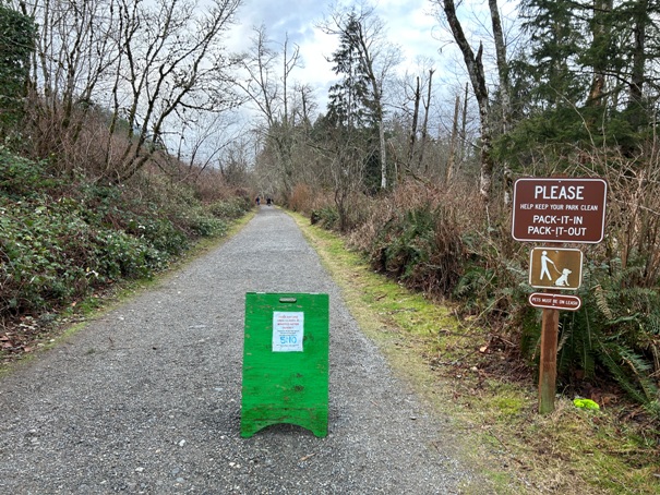
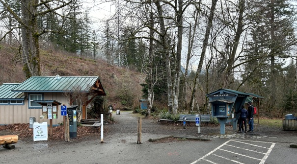
Trailhead
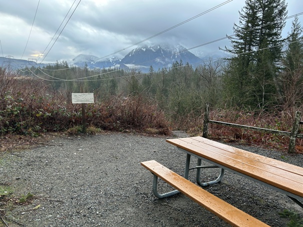
View from the trail under the powerlines
Trail starts rather boring under some powerlines
Hiking in winter
Nice tourist trail
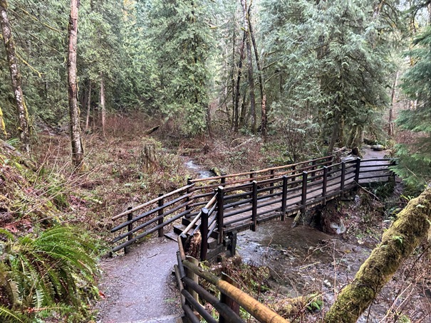
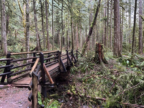
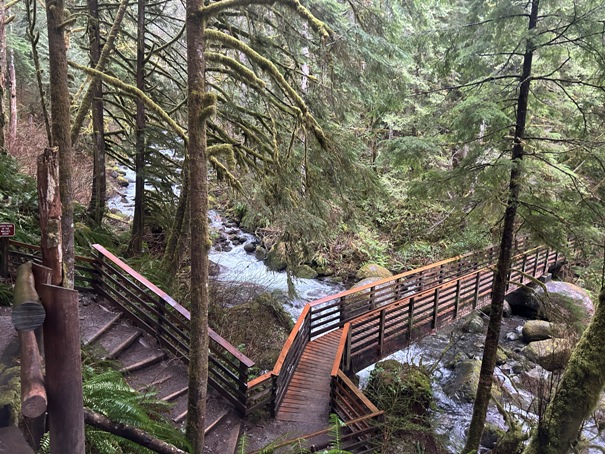
Several bridges in route
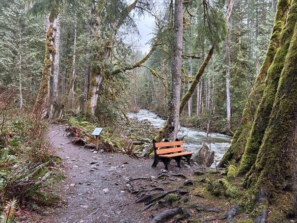
Trail along the Wallace River
Upper Wallace Falls
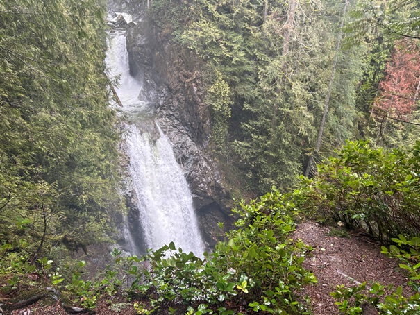
Middle Wallace Falls
Middle Wallace Falls
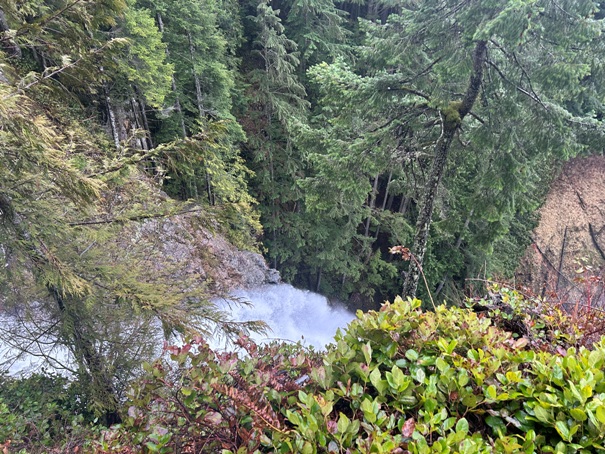
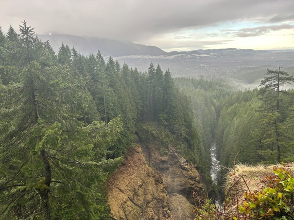
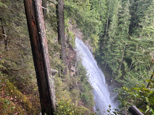
View from the top of the middle falls
Middle falls drop
Hitting the upper grade above the highest falls and at the top of the Woody Trail. Walk the grade east for the bridge to nowhere. Go west for the loop and Wallace Lake.
The bridge over the Wallace River to nowhere. A sign on the other side says for you to stop and turn back. The routes on the other side are not for the 99.9 percent of the visitors to the park.
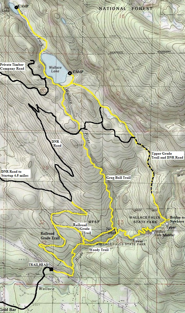
The Upper Grade DNR road/trail was harvested in 2022 so there will be views for several years until the new rotation of trees blocks the views.
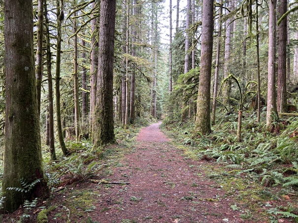
Be sure to return via the Railroad Grade Trail


