
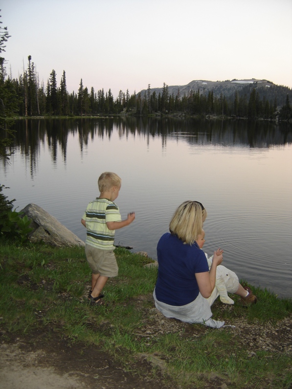
Mt. Watson is a prominent peak on the west side of Highway 150 in the Uinta Mountains. The lakes around the peak are extremely popular for hiking, fishing and camping. A climb of Mt. Watson may be the only reprieve from the bugs. Surprisingly, although it is so accessible from so many campsites and trails, few hikers take a shot at the summit. We camped at Cliff Lake; my 2 year old was able to walk there from the trailhead.
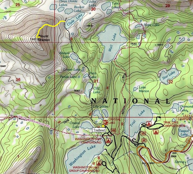
From the parking lot, take the trail west above Crystal Lake. Within a mile, look for a trail (second right) dropping down for access to Cliff, Watson, and Clyde Lakes. Follow this along the west shores of Lily Lakes, then climbing to 200 feet to Cliff Lake. Continue hiking past petit, Linear and Watson Lakes. At Clyde Lake, ascend up through meadows, rocks and forest patches to near the northeast ridge. To avoid some scramble sections, traverse left of the ridge. Climb just south of the ridgeline on heather and rock slopes to the top of the ridge at 11,000 feet. Follow the ridge on boulders to the summit. There you will find lots of room to relax and enjoy the Western Uintas peaks and lakes.
Mt. Watson
Access:
Route:
Drive east on Highway 150 out of Kamas Utah for 25 miles or south out of Evanston Wyoming. Look for the Crystal Lake turnoff, a gravel road with several campgrounds and lakes. Look for the Crystal Lake Trailhead, pray you find a parking spot on weekends. There is a fee to park at any of the trailheads along the highway.
Camping at Cliff Lake, Haystack Mountain in distance
Looking West
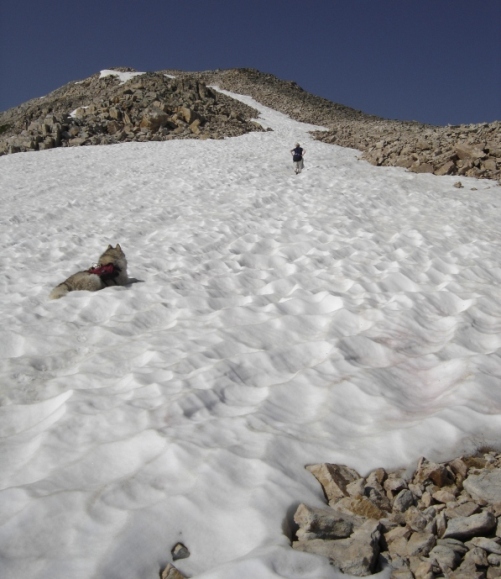
Nearing the top
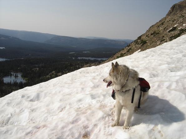
Dozer taking a break.
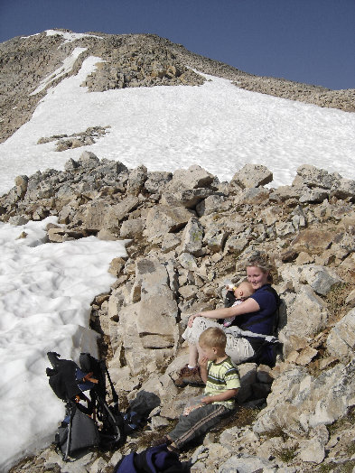
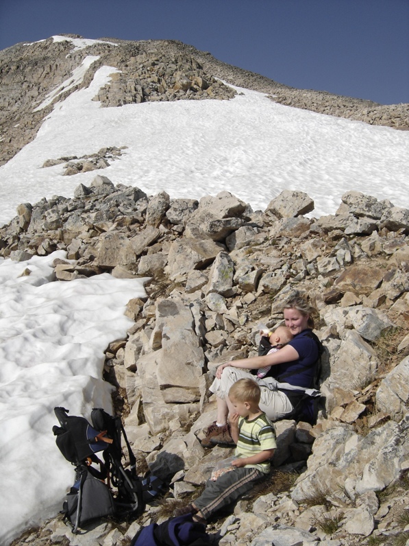
Breaking at the ridge
Mount Watson from Haystack Mountain area

Distance: 2.5 miles - Northeast Ridge
Elevation Gain: 1,500 feet
Summit Elevation: 11,521 feet
Access: Paved
WillhiteWeb.com
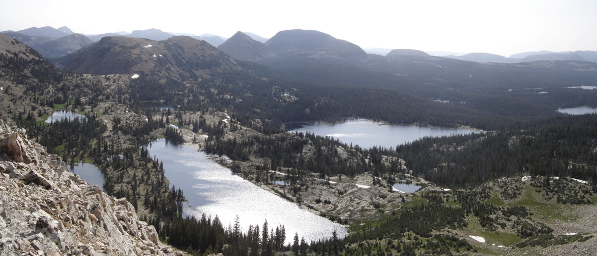
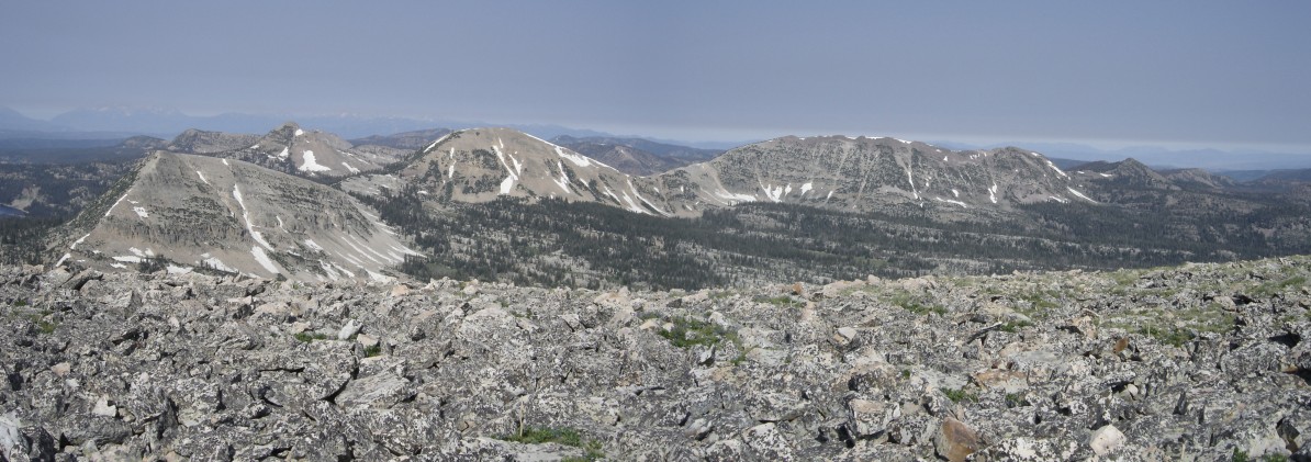
Looking East
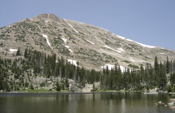
Mt. Watson from Watson Lake.
Breaking at the ridge.
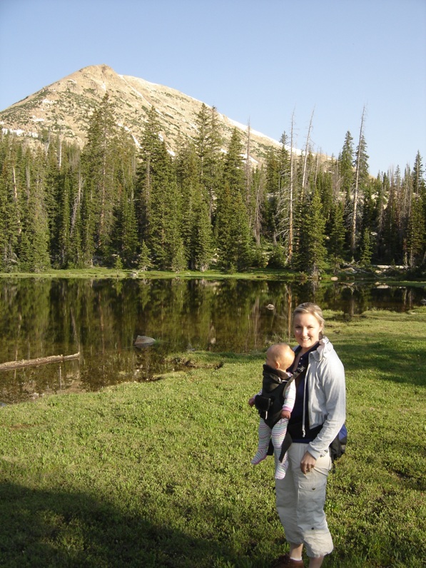
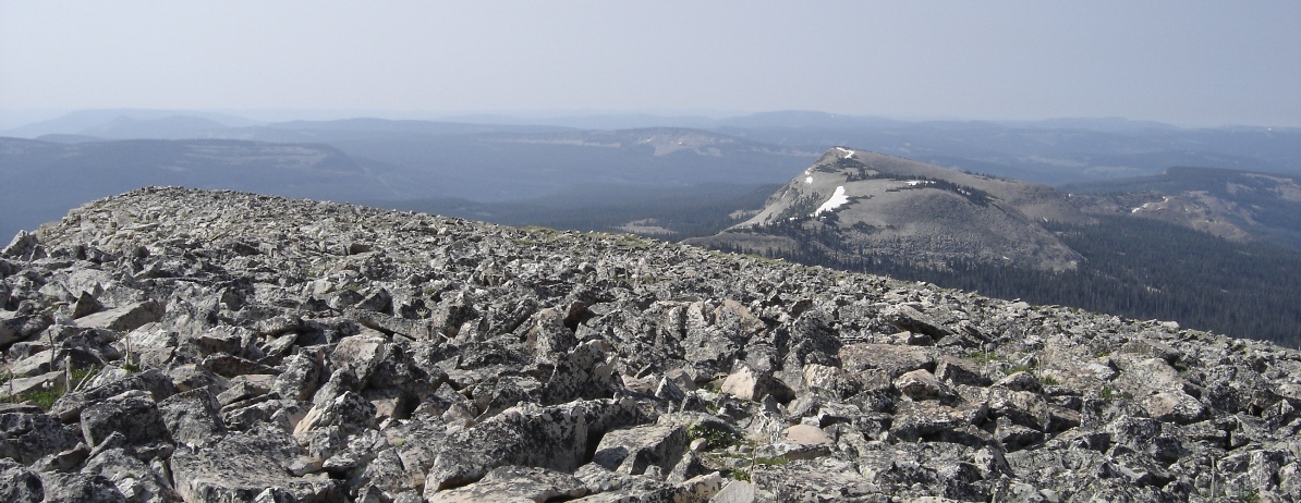
Looking South


