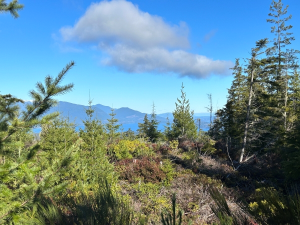
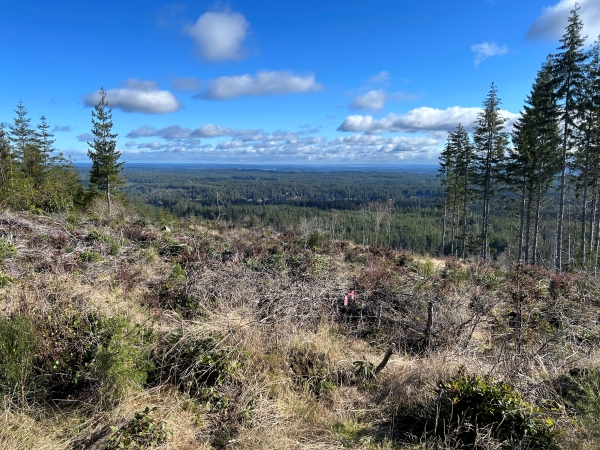
This minor bump is a nice walk just above the Wildcat Trailhead in Green Mountain State Forest. At the time I did it in 2025, there were nice views from the road and some views near the harvested summit, although they are soon to be overgrown by the next generation of trees.
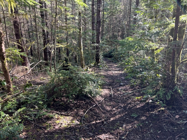
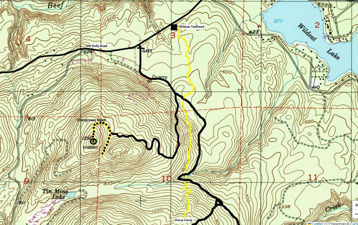
From the trailhead, you can take the trail or bike Holly Road to the gated access road. Both routes will get you to the steep spur road that climbs up Wildcat East. Follow the map given below. Near the top, the road becomes more trail and may even be overgrowing depending on usage in the next several years. The final 100 yards goes up a ridge with a recent harvest on the right. The summit will become increasingly uninteresting for the next 20 years.
Access and Route:
Distance: 2 miles each way
Elevation Gain: 800 feet
Prominence: 403 feet
Wildcat East
WillhiteWeb.com
(Peak 1291 )

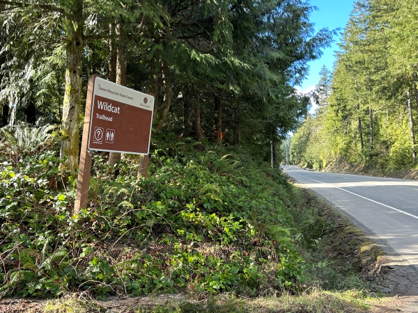
Wildcat Trailhead sign off NW Holly Road.
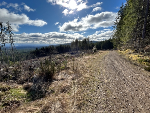
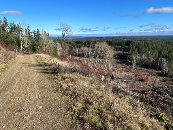
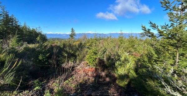
Views from timber harvest in route to top.
Road up.
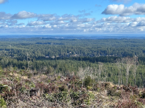
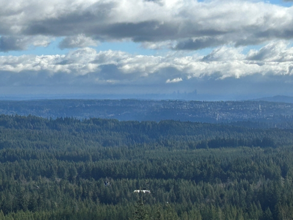
Seattle in the distance.
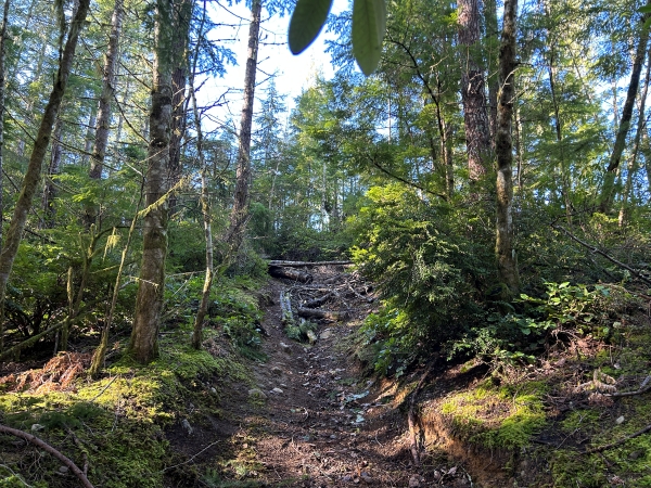
Old road now a trail near the summit.
Old road now a trail near the summit.
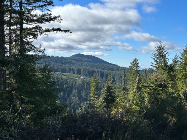
View up to the Green Mountain summit.
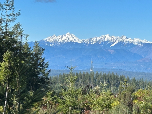
View of Mount Constance from the summit.
View of Mount Walker from the summit.
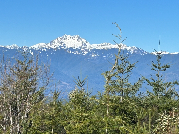
View of The Brothers from the summit.
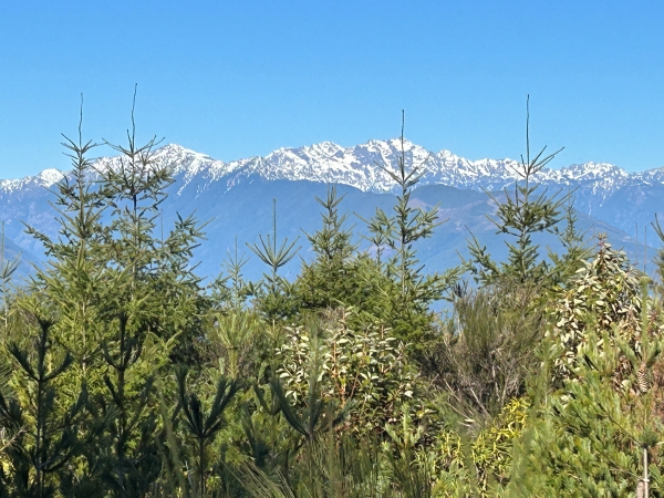
View of Mt. Elinor and Mt. Washington from the summit.


