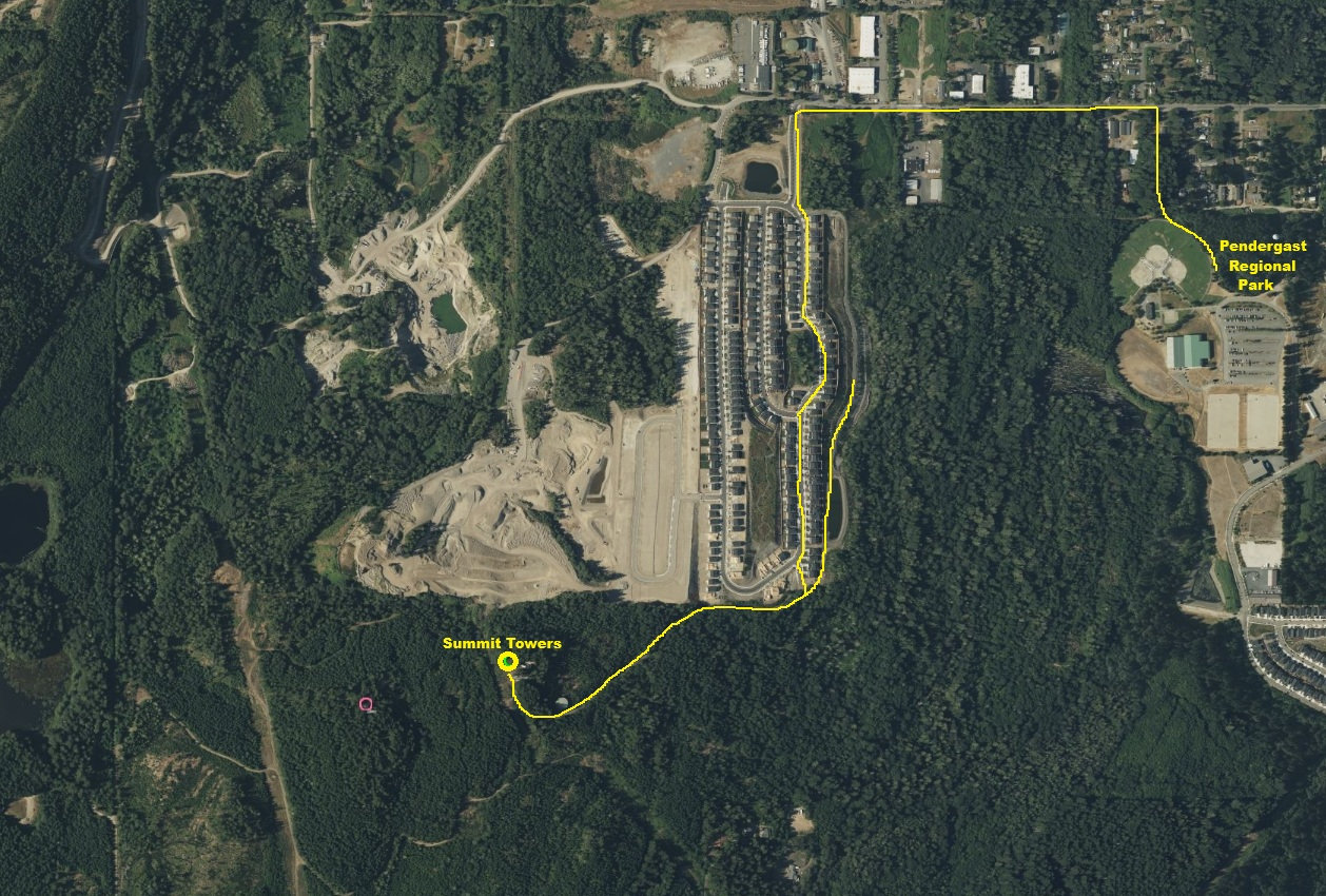
This Bremerton hill is known for its access challenges. With development constantly changing in this area, the route is changing just as often. Your best bet is during holidays and non-work hours. That said, you are likely trespassing and signs say as much. It was not always this way, there were legal routes years ago. Some have just walked gravel roads while others have bushwhacked or followed the powerline trail.
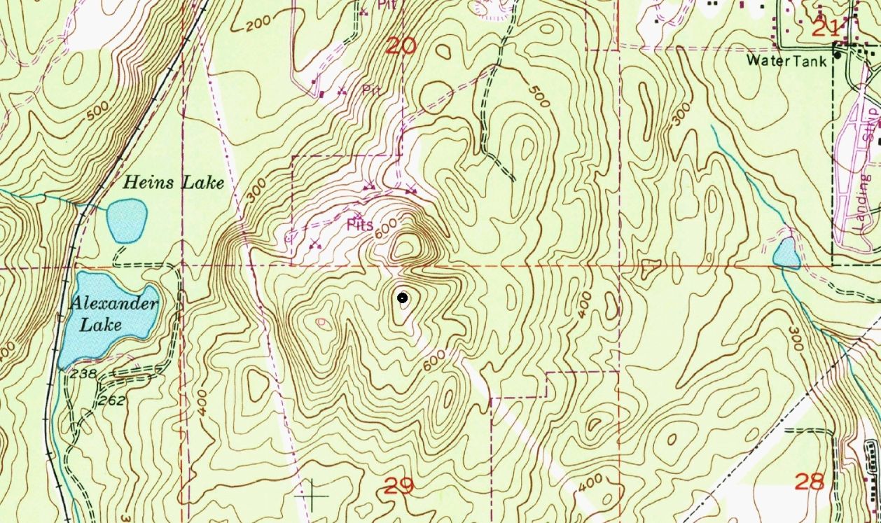
Summit Elevation: 720 feet
Hiking Distance: One mile or less
Elevation Gain: 300 feet
Prominence: 458 feet
WillhiteWeb.com
Pendergast Hill (Peak 720)
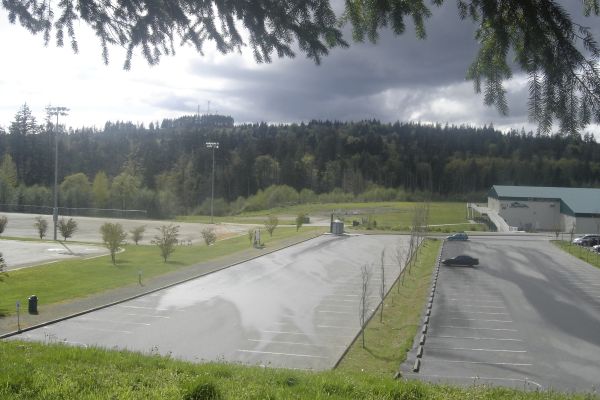
View of the hill from Pendergast Regional Park.
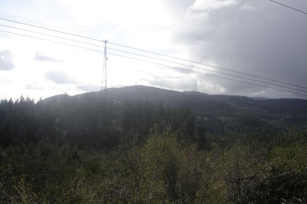
View up to one of the larger mountains in the Watershed.
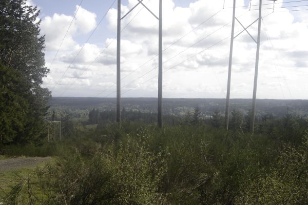
View from under the powerlines.
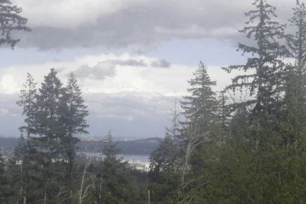
View of a section of water near Bremerton.
One of several possible routes. The neighborhood was not there when I did this. There is probably even more development now than what is shown in this picture.


