Orting Rim Trail
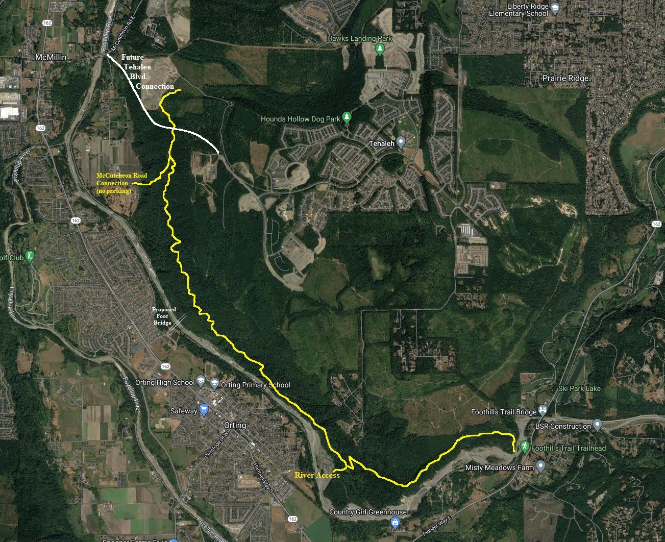
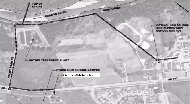
It is hard to find a lowland trail with high milage. This trail (at this time) offers remarkable solitude given that it is just over the river from the city of Orting. The trail runs the rim most of the time but one highlight is when the trail drops down to the river bottom and access the river in a very remote spot. As development in the Tahalah community gets closer and closer, the trail will see more and more visitors. In a few decades, houses will come up to the edges of the trail, but the good news is that the trail remain, just re-routed in a few spots. The hillside is unsuitable for development and likely protected anyway, so this trail will last for centuries, likely being widened and graveled as Tahalah gets closer. The second growth forest is quite nice and getting larger every year. An interesting aspect of this trail is that if the movement Bridge 4 Kids ever finds success (aka 40 million dollars), there will be a public bridge spanning the Carbon River from Orting to the trail. This would bring thousands of visitors annually to the trail with ease. It would also save thousands of lives if Mt. Rainier erupted or had a random lahar.
Route:
Elevation:
Hiking Distance: Up to 5 miles one-way, 10 mile loops possible
Elevation Gain: Around 1,000 feet
Access: Paved roads in a neighborhood
At this time, there is no start of stop point. Development in the Tahalah community changes by the month. You will need to do a bit of exploring of the area but I have accessed the trail myself from 6 different points. The trail is mostly easy to follow but a few sections do follow roads and a few turns are easy to miss putting you on roads when there is actually trail closer to the rim. It is likely the trail will be improved much in the coming years. Fallen trees and a few wet areas do exist, bring your boots.
WillhiteWeb.com
History:
I do not know the full history of this trail but logging road have been here for decades. Back in the early 1990s, this whole region on the hill was called Victor Falls Bike Area and it was a mecca for the mountain bike community. There is still evidence to this today as old bridges and ramps can be found. The bikers are now mostly gone and only hikers remain on this rim trail, although one portion looks to be under construction by a bike group. If you can find it, there is an old map by Jim Hendricks that showed all the roads and trails back in the early 1990s. Today, most of the area has been completely changed and developed, but the map is a cool piece of history.
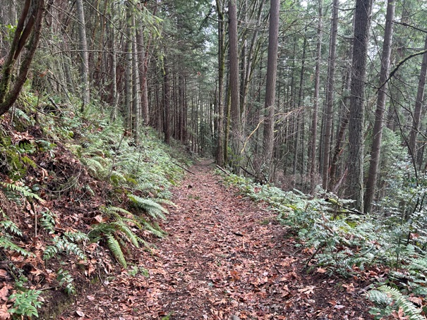
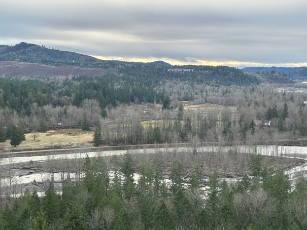
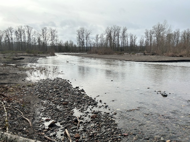
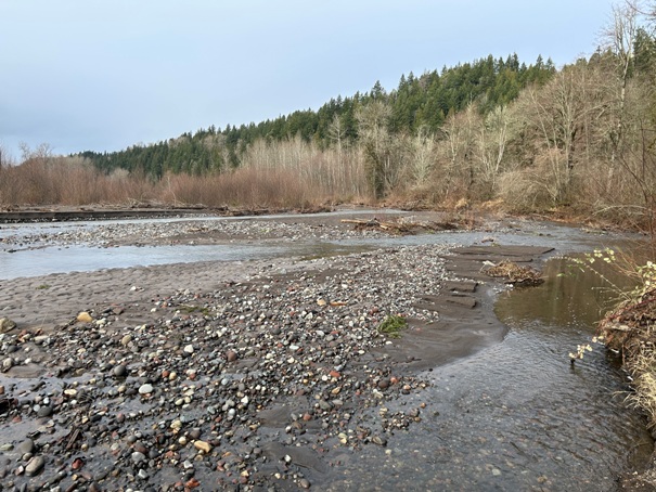
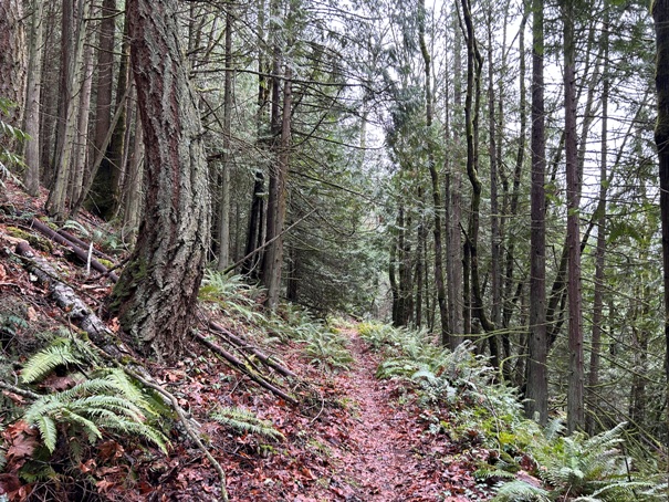
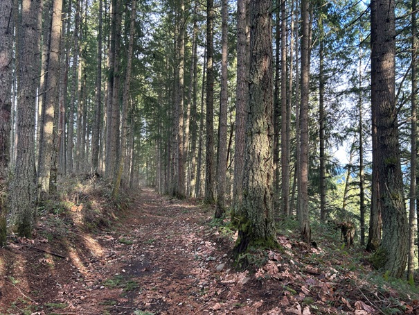
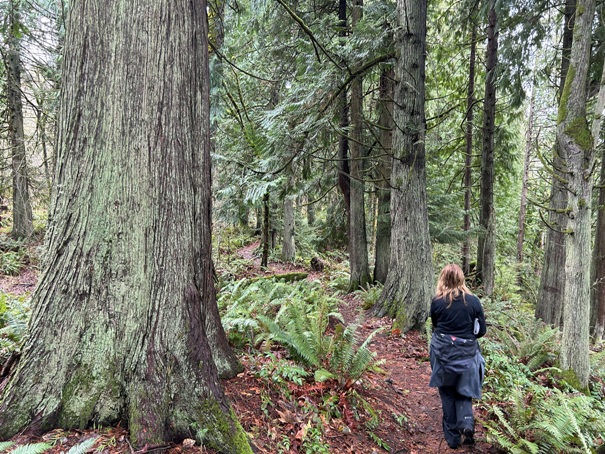
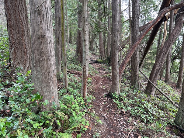
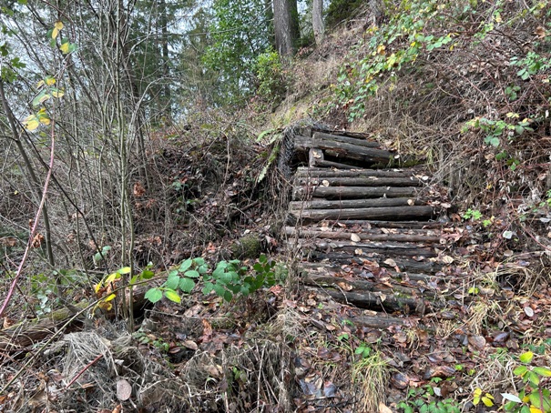
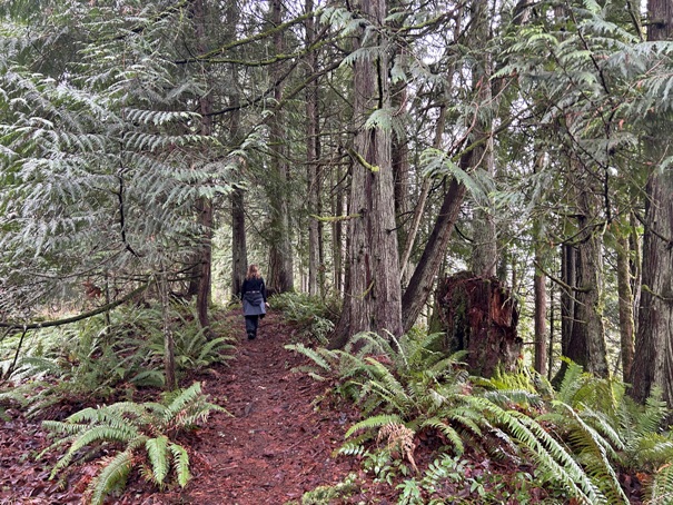
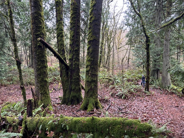
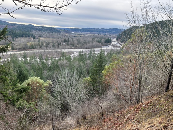
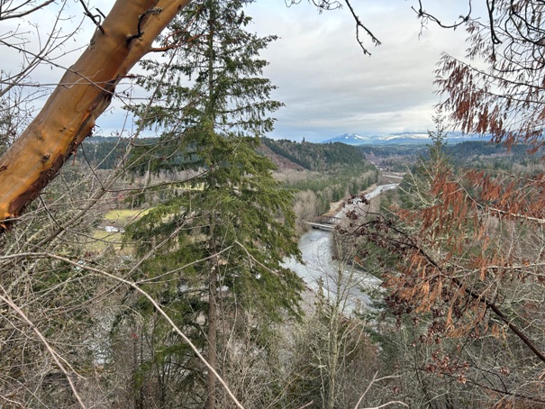
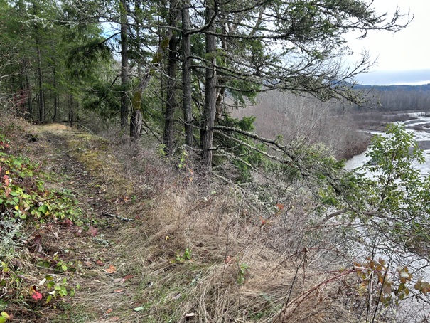
View along the trail
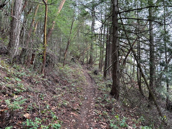
Trail on old roads
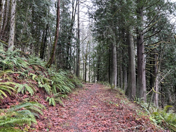
Trail on the rim for miles
An area with some big trees
At the south end on the rim
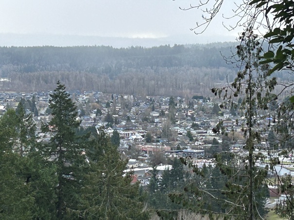
Looking over to Orting
Peek at the City of Orting
Big maple trees
An old bridge/ramp built by mountain bikers
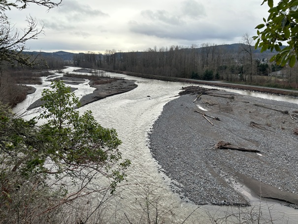
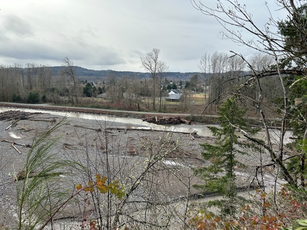
Carbon River
Looking southwest down the Carbon River just before it turns north into Orting
The Buttes Hill in the center with some of the homes showing and water tank on left
Looking up the Carbon River to Crocker toward Carbonado
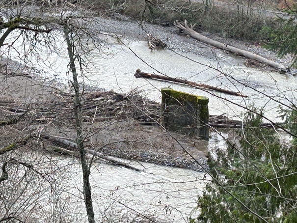
Old bridge footing
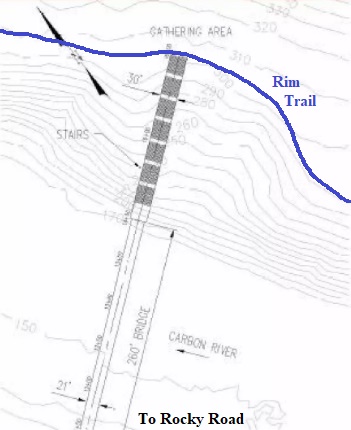
Bridge4Kids map showing location over the river from the Orting schools.
Bridge and stairs up to the trail area from Orting


