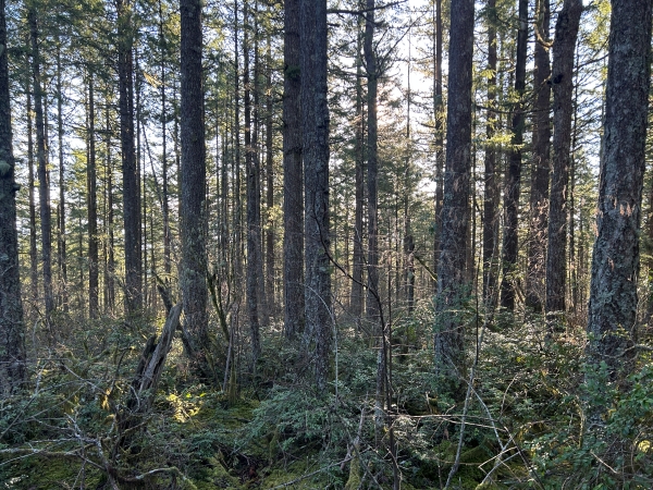
With no redeeming qualities whatsoever, this bump is for peakbaggers who like to explore just because the highpoint exists. The location is right near the boundary with the Bremerton Watershed. Maybe a future timber harvest will open the view, it would be an excellent vantage point.
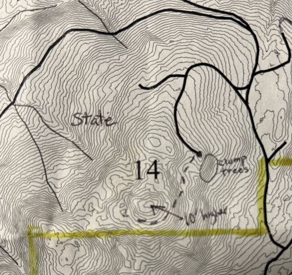
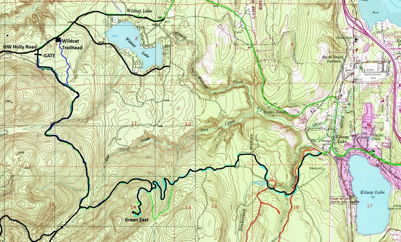
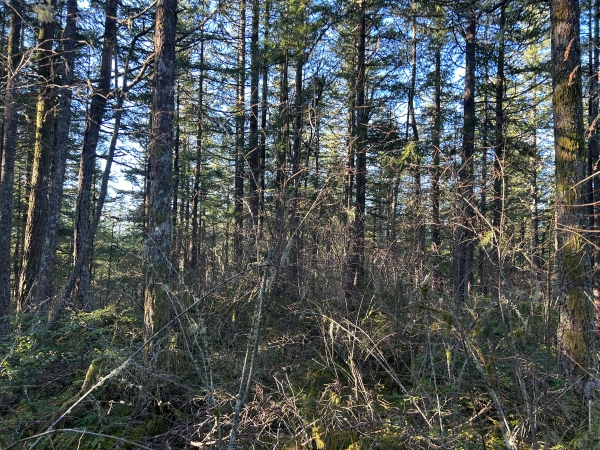
There are two major road systems that get very close to the knob (see map below and peakbagger for the track). For now, from the end of the road, there is an unofficial trail that gets hikers nearly to the summit. A slight amount of off-trial with limited bushwhacking is necessary.
Route:
Elevation: 1,320 feet
Prominence: 494 feet
My route was 5.6 miles from Wildcat Trailhead.
Green Mountain East
WillhiteWeb.com
(Peak 1320)
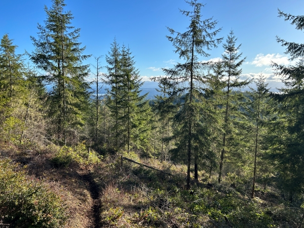
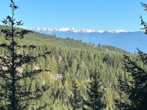
View out to the Olympics from the road.
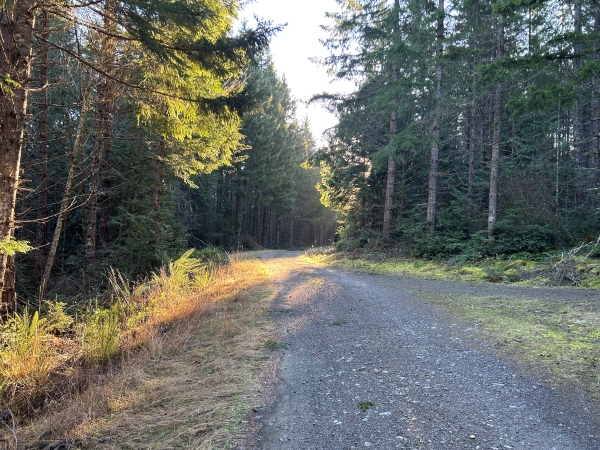
On the road.
Trees at the summit.
Trail between the road and summit.
Trees at the summit.
Lidar 10 foot contour map.
green mountain
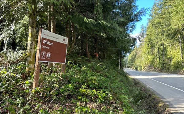
Sign on Holly Road.


