This is a destination for the desperate, when you are tired of driving or you realize snow might prevent you from your destination. It is also a road walk or bike up and the summit offers only the smallest views. But the location is right along a popular route to Mt. Rainier, you have probably driven by many times. Signs indicate foot traffic only, this is Pack Forest property.
Summit Elevation: 1,832 feet
Hiking/Biking Distance: 3.37 miles round-trip
Elevation Gain: 500 feet
Access: Any vehicle
WillhiteWeb.com
East Hugo
Route:
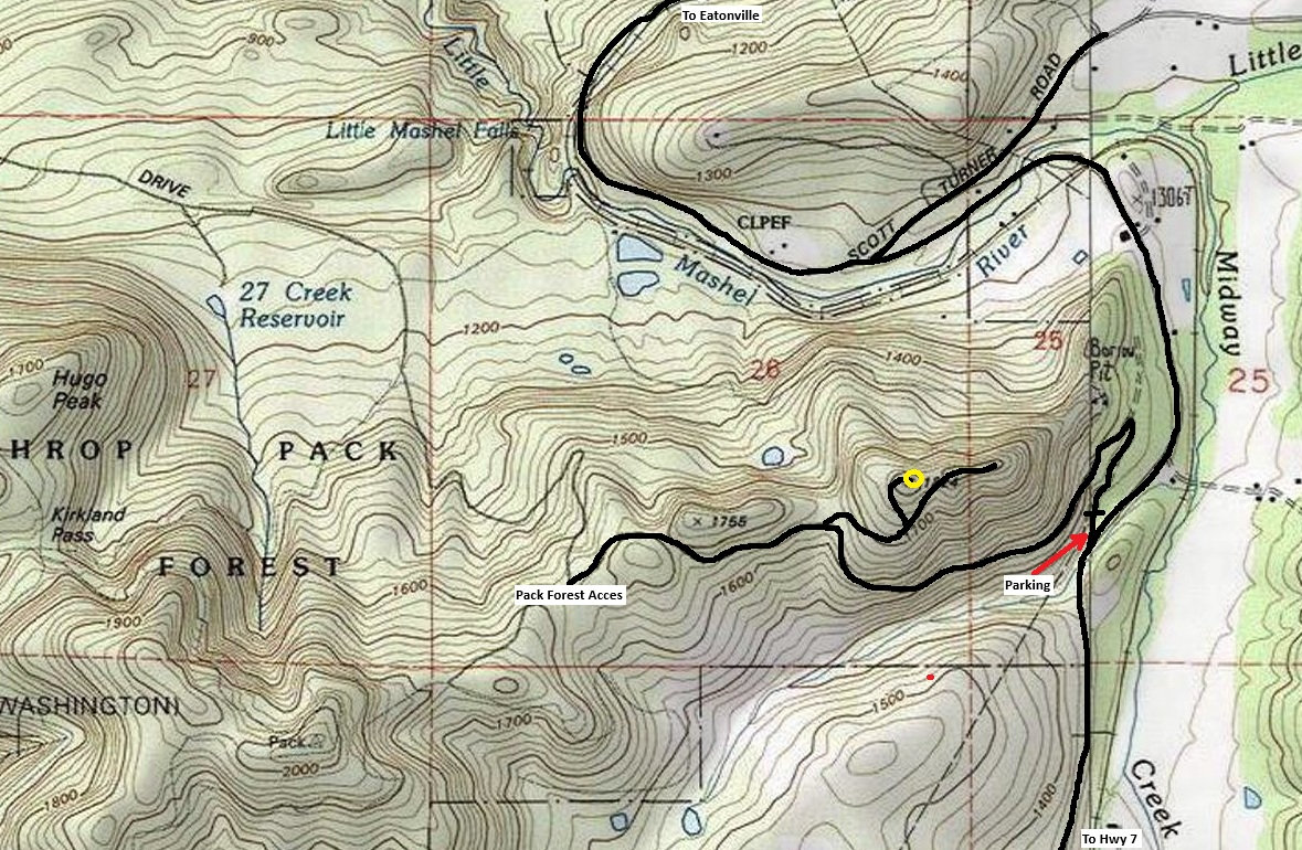
Just follow the road up. A few splits are near the top. See the map. An alternate route would be to start at the main Pack Forest Entrance on the west side. This would be a longer road walk or bike trip but could include a loop with Mashel Falls, Hugo Peak and the Pack Forest highpoint.
Access:
Out of Eatonville, take the Alder Cutoff Road for several miles to the pullout on the right side of the roadway, around a mile after the Scott Turner Road.
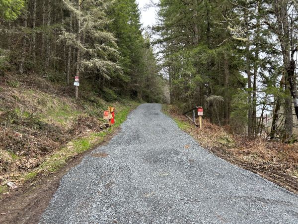
Starting gate was open because workers were at the communication site.
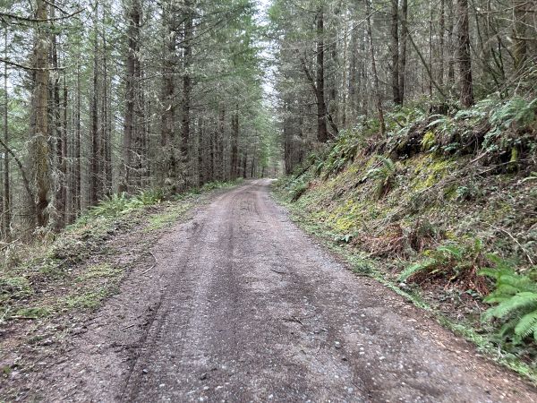
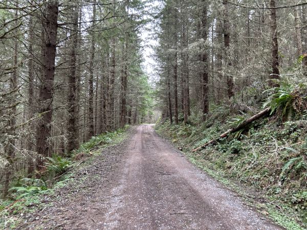
Road up East Hugo.
Road up East Hugo.
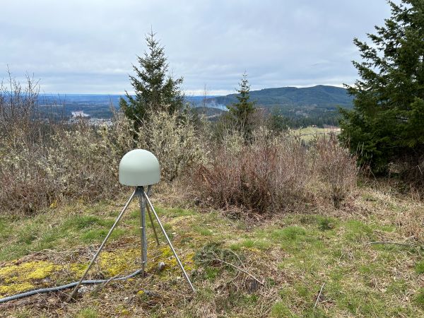
GNSS (Global Navigation Satellite System) antenna for an adjacent seismometer station.
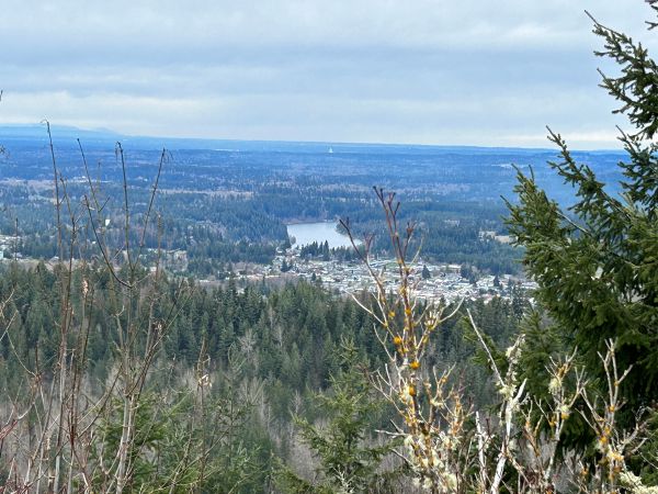
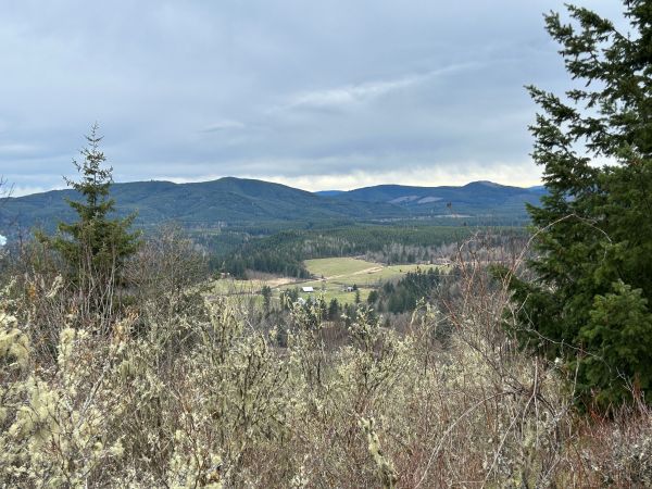
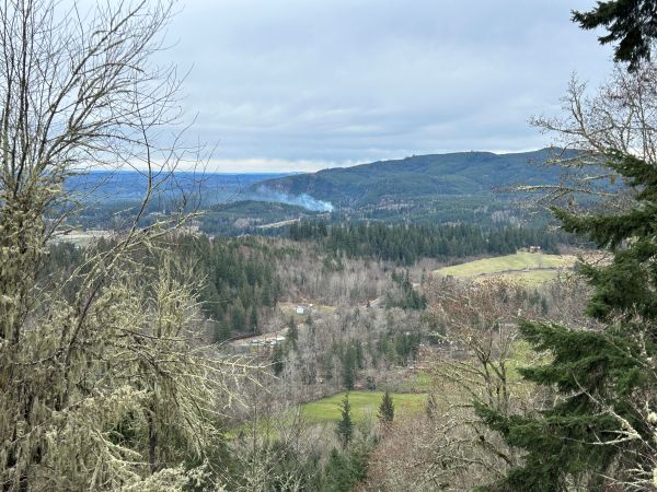
Looking north over Eatonville and Ohop Lake.
Looking south to Mount Goodie.
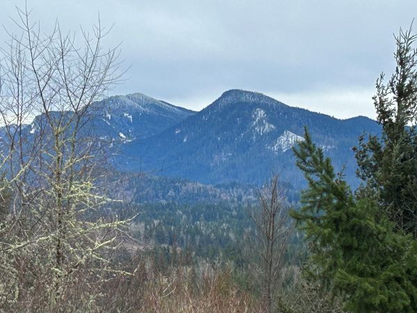
Looking south to Stahl Mountain and Ladd Mountain.
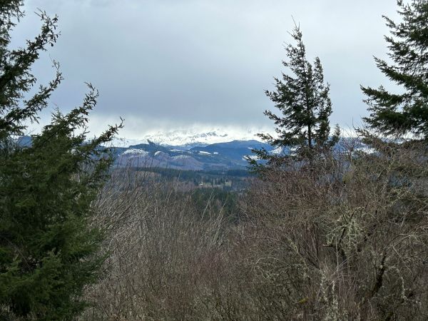
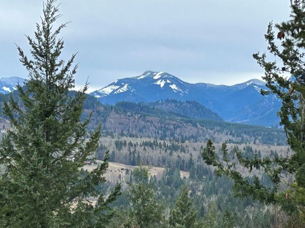
East to the base of Mt. Rainier.
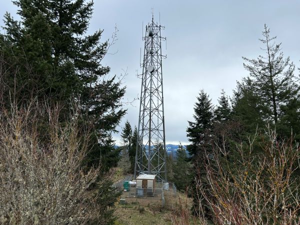
One of the two communication sites.
Ohop Benchmark in distance.


