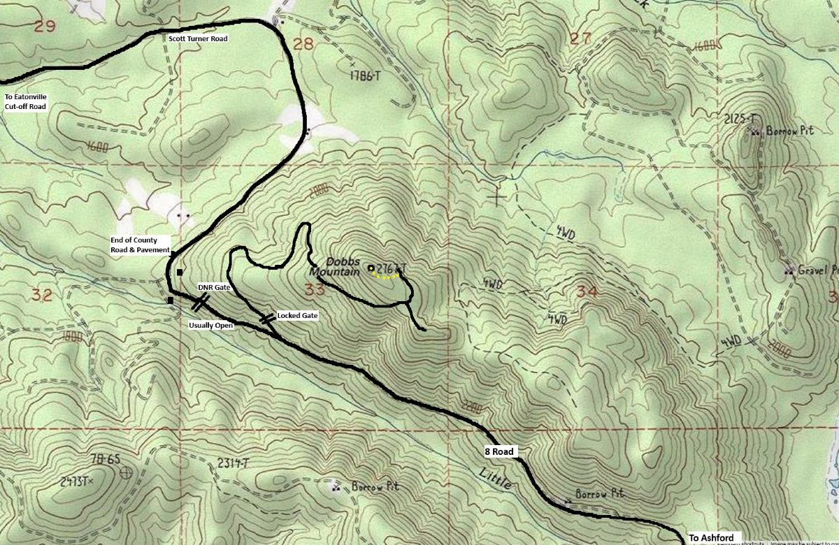
Located at the western edge of the Elbe Hills State Forest, Dobbs Mountain is where the foothills start. Forested for decades, a new road was recently built almost to the summit in order to harvest the third generation of trees. Although Dobbs is mentioned in many early hiking books, the summit itself was never a destination due to forest cover.
Summit Elevation: 2,769 feet
Hiking/Biking Distance: 3.83 miles round-trip
Elevation Gain: 950 feet
Access: Any vehicle
WillhiteWeb.com
Dobbs Mountain
Access
Out of Eatonville, take the Alder Cutoff Road for several miles to the signed Scott Turner Road. Take the Scott Turner Road 5.5 miles to its end where it enters State Land in the Elbe Hills State Forest. There is a gate here but I do not know if it closes. You are now on the 8 road, an old CCC built road that goes all the way to Ashford. It is usually kept in good condition. At 0.4 miles past the gate is a gated road to the left that climbs Dobbs Mountain. There are several spots in the area to park without blocking the gate.

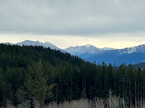
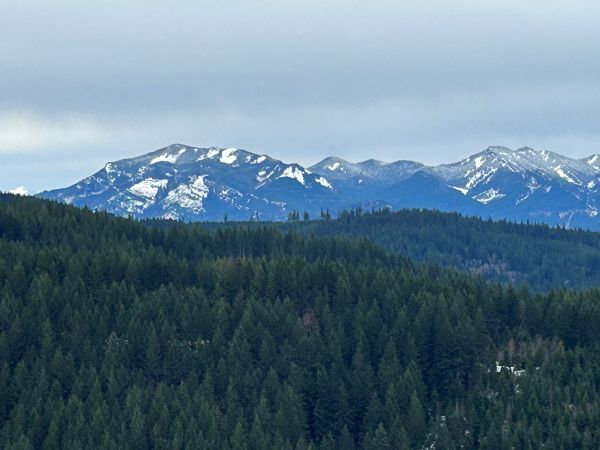
Sawtooth Ridge
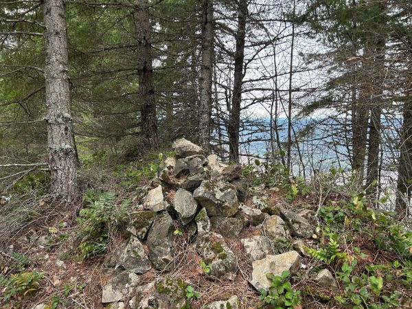
Summit Cairn
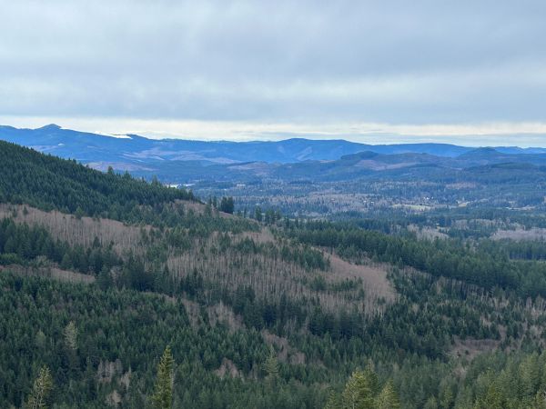
View north.
Looking west to Ohop Benchmark (mountain).
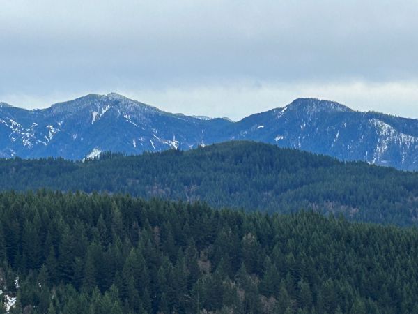
Ladd and Stahl Mountains
Goodie Mountain
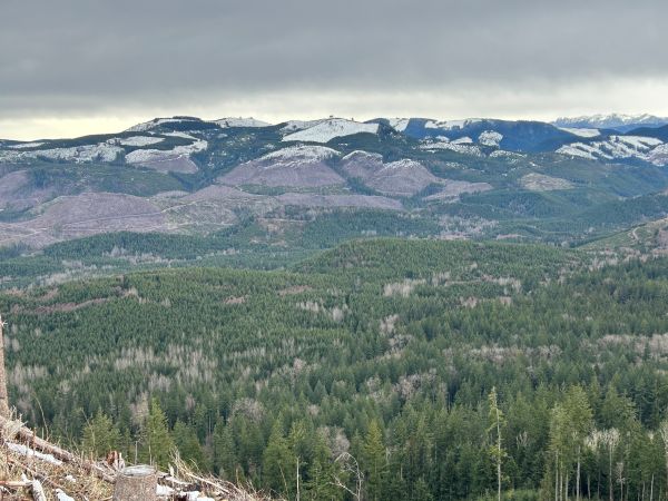
Looking south to the Rockies Block of National Forest land (left) and private timberlands (right).
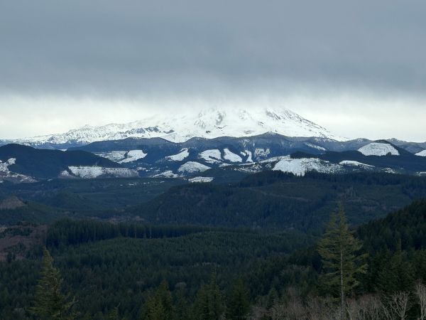
Base of Mount Rainier.
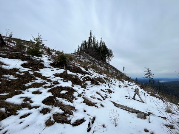
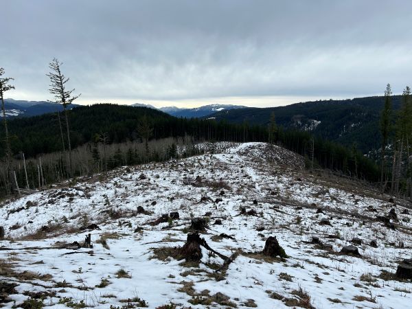
Summit ridge of Dobbs Mountain (2025).
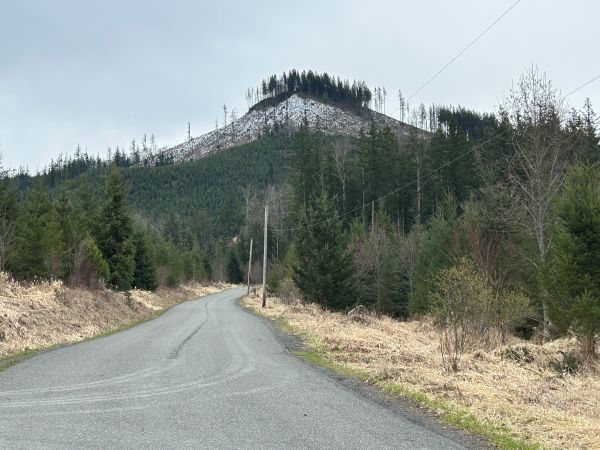
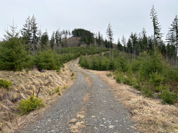
The summit of Dobbs Mountain from the end of the road.
South from Dobbs Mountain Road #81.
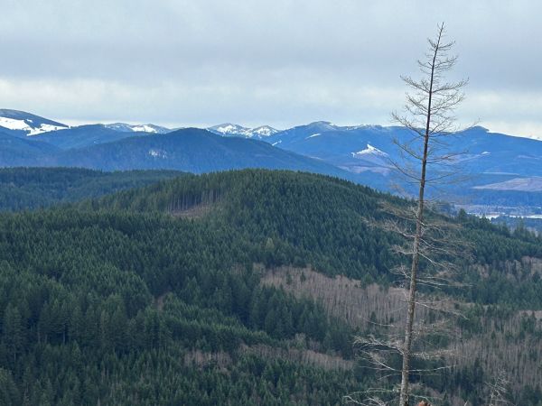
View from Dobbs Mountain Road.
Dobbs Mountain Road.
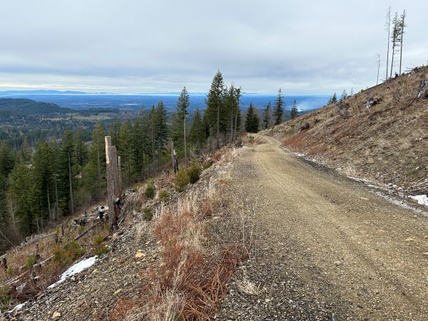
View going up the Dobbs Mountain Road.
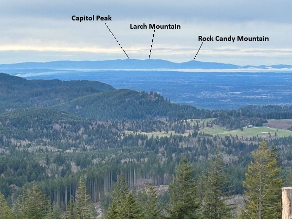
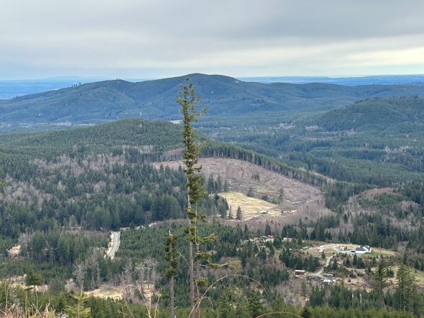
View out to the Capitol Forest.
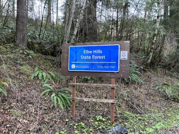
Entering the Elbe Hills State Forest.
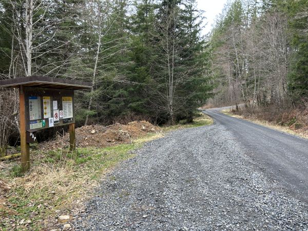
Parking on the 8 road with the Dobbs Mountain Road to the right ahead.
Dobbs Mountain from the Scott Turner Road.


