Cable Line Trail to West Tiger #3
WillhiteWeb.com
This trail is most often used for training purposes as it is one of the closest steep trails to the Seattle/Bellevue populations. Some on social media even claim that this trail is your rights of entry into the local hiking community. The tread is awful, so for the way down, consider loop trip opportunities, so you can just enjoy a nice stroll down. A major bonus is that a recent clearcut in 2021 has opened the summit to some amazing views to the south and west. Occasionally the old cable line is visible under or along the trail. Near the top, other trail options appear that parallel the cable line trail.
Summit Elevation: 2,522 feet
Hiking Distance: 1.5 miles one-way
Elevation Gain: 2,100 feet
Access: Paved
Route:
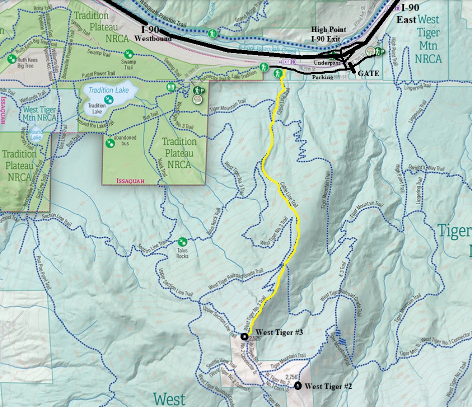
Going East from Issaquah, take exit 20 (High Point) and turn right onto the frontage road paralleling the interstate. In just under 0.5 mile the road reaches a gate. Park here, the Cable Line trail is on left a few hundred feet before the gate.

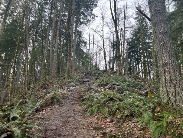






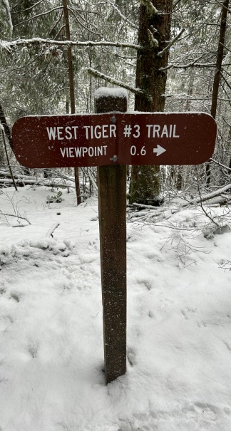



More steep than it shows on camera
At this point, a nicer tread trail crosses over the cable line trail and is easier to walk.
Cable lines on the Cable Line Trail
On the summit of West Tiger #3
Looking over at West Tiger #2 from West Tiger #3
View of West Tiger #2 in route to the summit.
Seattle from West Tiger #3
Looking back at West Tiger #3 from the ridgeline over to #2
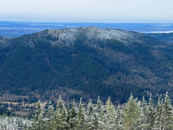
Squak Mountain
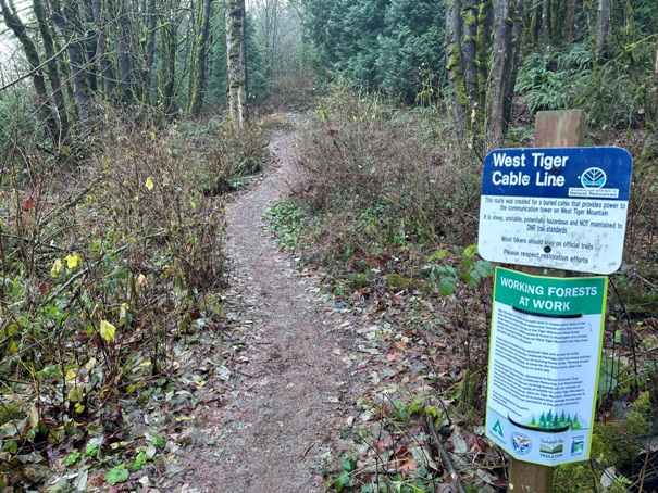
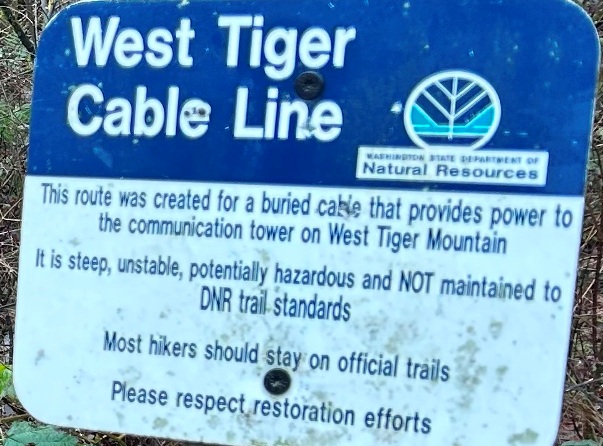
The sign at the trailhead.
Panoramic at the summit of West Tiger #3


