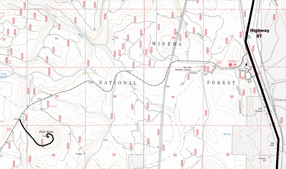
Elevation 5,450 feet
Hiking Distance: Drive-up
County: Klamath
Access: Drive-up, dirt road, most vehicles
Deer Butte Lookout Site
WillhiteWeb.com
In February of 1933, it was suggested that a fireman that was on the Knott Ranch move to Deer Butte and become a lookout fireman. Having investigated Deer Butte, it was felt the site would offer excellent detection to the protective area around Beaver Marsh and would be an excellent vantage during smoky weather or lightning storms. A road south from the Butte to Miller Lake was also suggested for little delay in travel time.
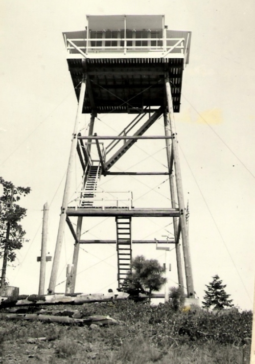
In 1934, a 40-foot wooden tower with 14x14 L-4 cab was built by men from the Odell Lake CCC camp. The carpentry crew was under the direction of Claude Post, carpentry foreman. The total cost of the structure was $969.24.
The Forest Supervisor for the Deschutes National Forest, Carl B. Neal, stated in a letter to the Soper Lumber Company, that the Forest Service wanted to purchase ten acres from the company to construct a lookout on Deer Butte. The company donated the land. Fred Zumbrunn was the first lookout.
In 1936, hazard sticks, balanced scales and wind recording instruments were installed.
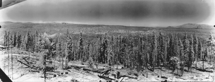
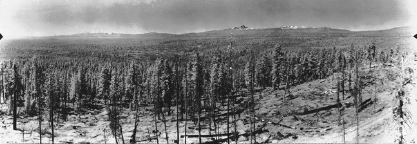
Panorama photos were also taken at 49 feet above the ground.
In 1941, the lookout was under the control of the Klamath Fire Protection Agency.
In 1942, the lookout was Jimmie Sterns of LaPine but was scheduled to leave July 15th for the Army Air Corps.
In 1952, a USGS party said the station mark was directly under the center of the tower and a benchmark was in the northeast footing.
By 1965, the tower was gone.
Lookout History
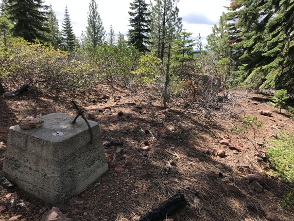
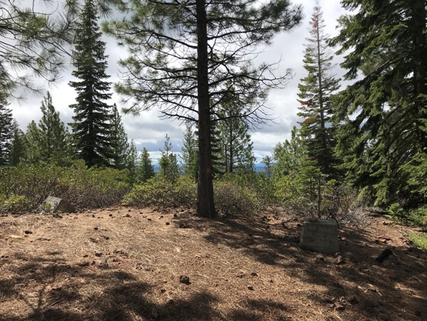

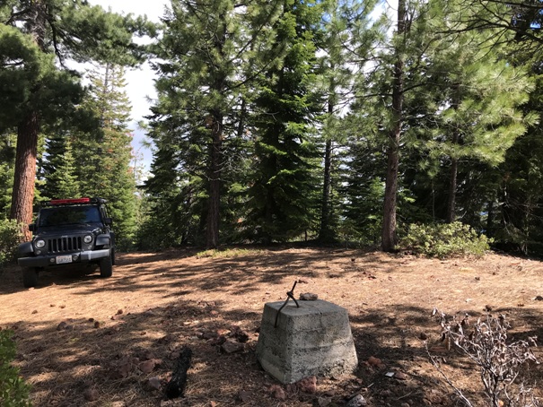
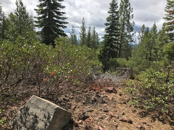
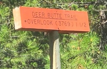
Lookout site in 2022
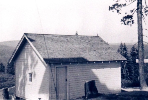
1930s garage
Deer Butte in 1942
Looking North in 1936
Looking Southeast in 1936
Looking Southwest in 1936
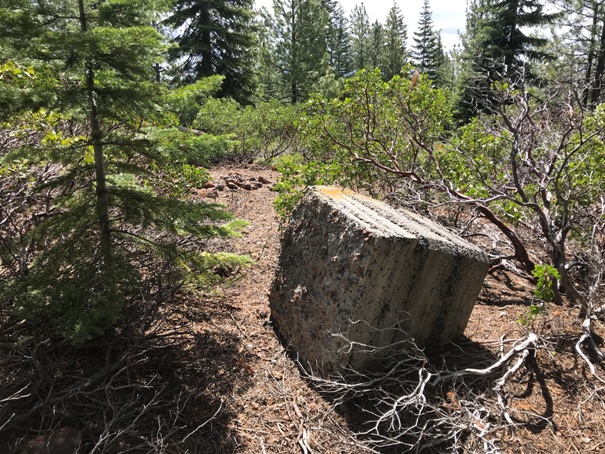
Footing
Not much for views on the ground
Footing


