Sacajawea Peak
WillhiteWeb.com
Elevation: 9,838 feet
Hiking Distance: 7.5 miles one-way
Elevation Gain: 5,200 feet
Prominence: 6,388 feet
Access: Any vehicle
Sacajawea Peak is the highest peak in the Wallowa Range in Eastern Oregon. Its major prominence and ease of access make it a popular climb, assuming you are willing to make the long drive to reach it. The mountain range is pretty far out of the way for most people.
Access:
From Enterprise, go south on Hurricane Creek Road. From Joseph, go West on Airport Lane. Look for the National Forest access sign into Hurricane Creek and follow road to the end at the trailhead. There are some car camping spots just before the end of the road.
Route:
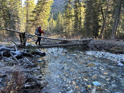
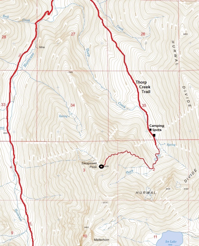
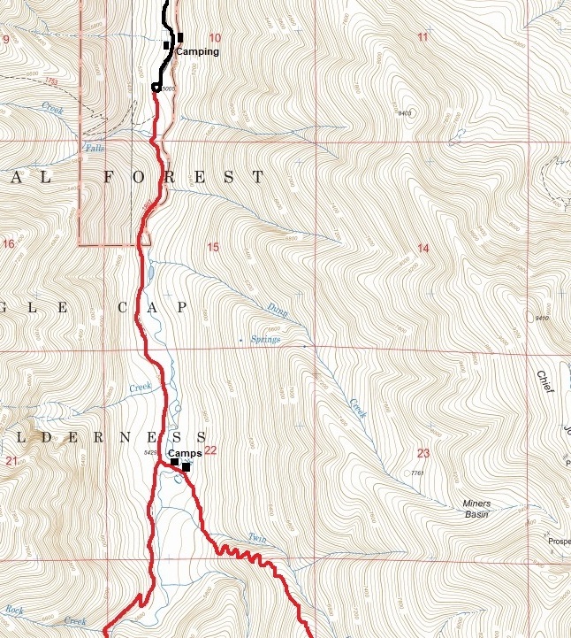
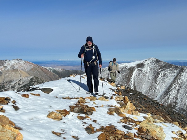
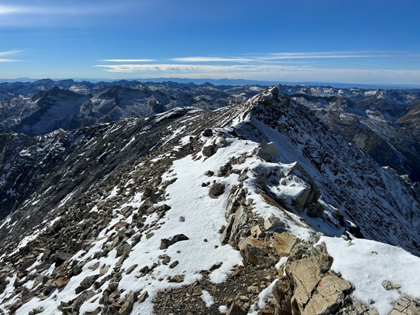
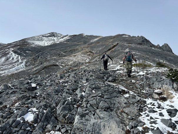
The most simple way to the summit is to hike up the Hurricane Creek Trail and the Thorp Creek Trail. From the upper basin a climbers trail goes up the east ridge. The Thorp Creek Trail is not signed but leaves from some nice campsites along the river. A log was available for crossing the river but could easily wash out. The trail when it reaches the upper basin near treeline has some small campsites if you are backpacking. Near the summit the climbing trail is very narrow in places above very steep but not deadly slopes.
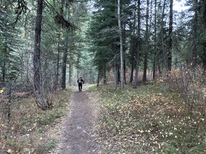
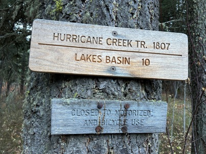

Hurricane Creek Trail
Trailhead signs
Crossing Hurricane Creek in mid October
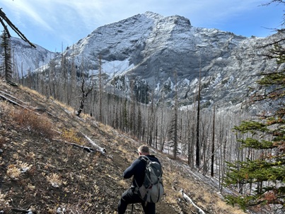
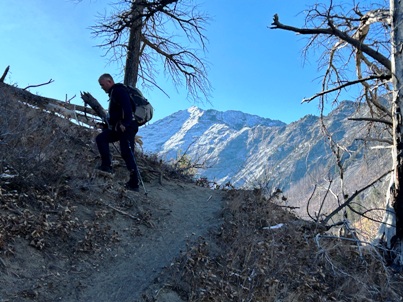
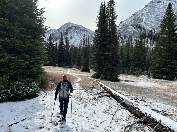
Thorp Creek Trail with Sacajawea in distance
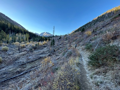
Thorp Creek Trail
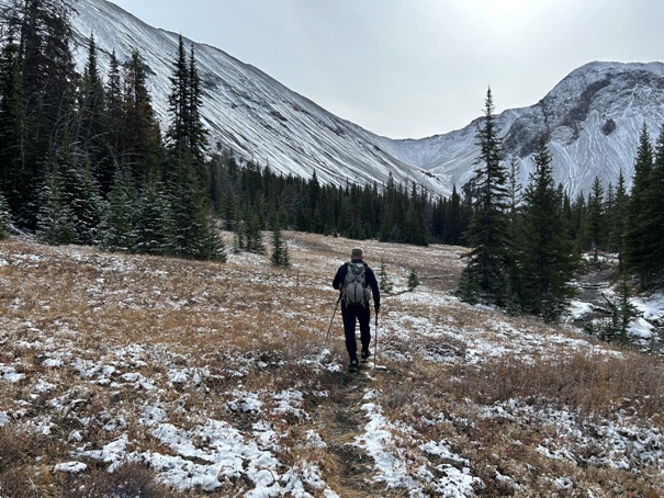
Entering the upper basin of the Thorp Creek Trail
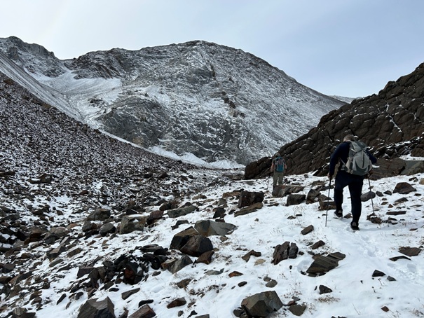
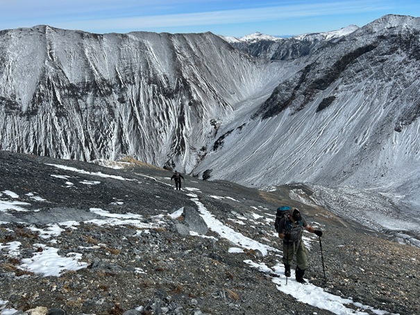
East ridge route of Sacajawea Peak
East ridge route of Sacajawea Peak
East ridge route of Sacajawea Peak
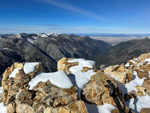
Arriving on the summit
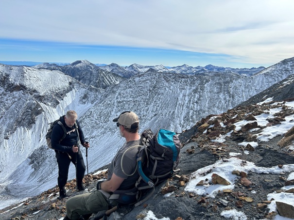
Taking a break
Matterhorn
Matterhorn
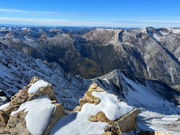
Looking down the Hurricane River Valley
Looking West
Looking South


