North Petunia Peak
Summit Elevation: 6,984 feet
Hiking Distance: 6.2 miles one way
Elevation Gain: 4,600 feet
Prominence: 719 feet
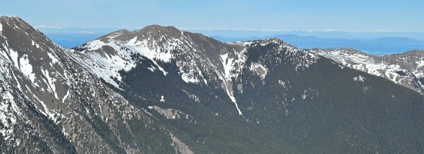
Located in an ideal position surrounded by deep valleys with all the great peaks of the NE Olympics rising above those valleys. The mountain straddles the line between Olympic National Park and the Buckhorn Wilderness. Although there is no trail to the summit, the route to tree line is a trail.
WillhiteWeb.com
Route:
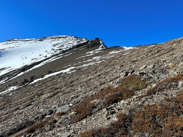
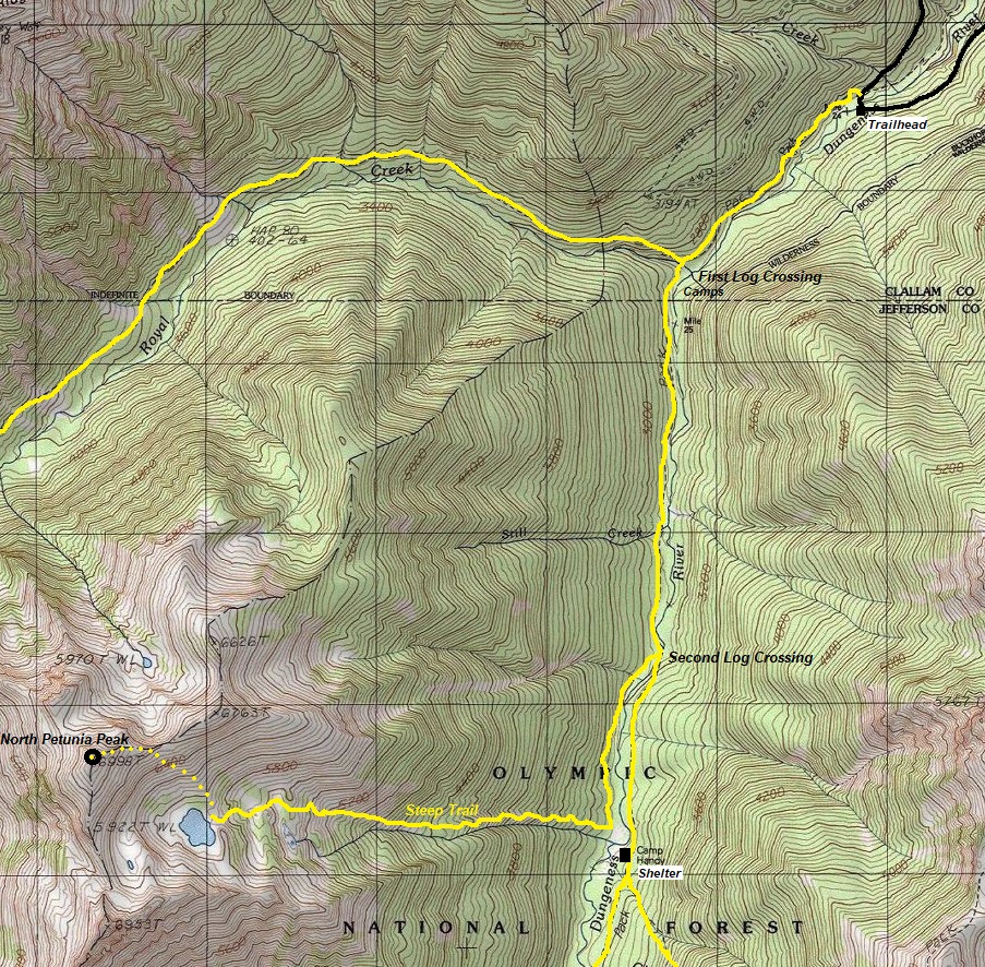
Take the Dungeness River Trail for 2.5 miles to the second bridge crossing. Here the trail splits. Do not cross the bridge but take a right turn at the bridge on an unmarked trail that is known as the Goat Lake Trail. This trail is on the other side of the river from the Dungeness Trail. In a half mile, the Goat Lake Trail reaches the Camp Handy area with one nice campsite (the shelter on other side of river). The Goat Lake Trail then climbs up a forested slope to Goat Lake. The trail is nice and easy to follow but it is steep. Near the lake you begin to break tree line and could leave at any point to ascend North Petunia. The easiest though is to just go to the lake then ascend scree slopes up North Petunia Peak. Other routes exist as well.

via Goat Lake
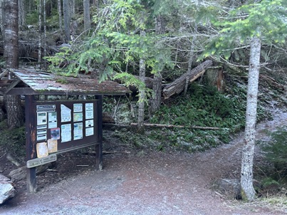
Dungeness River Trailhead
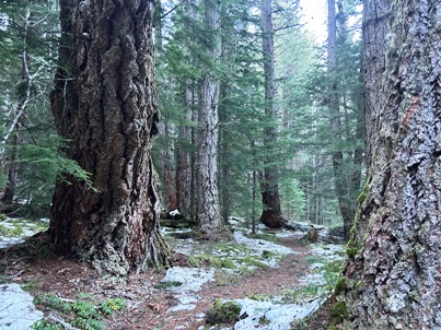
Dungeness River Trail
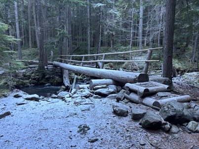
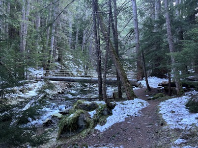
First bridge crossing at mile one (with many camps).
Second bridge crossing and trail split at the bridge.
Looking down at the Camp Handy Shelter.
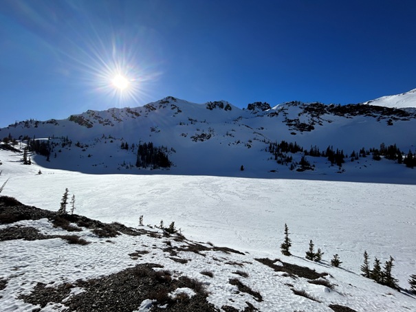
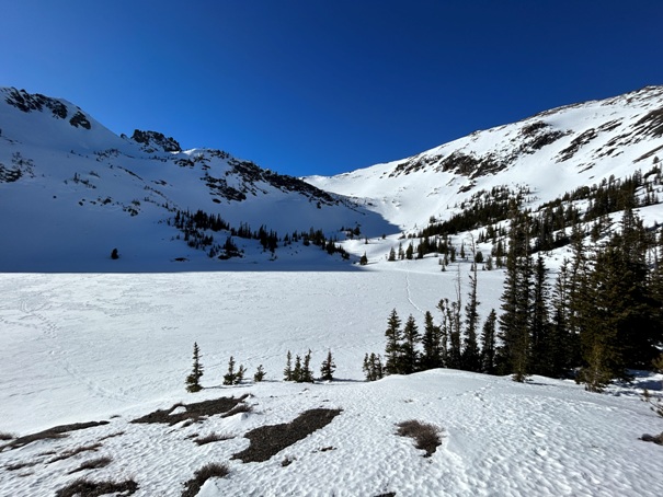
Goat Lake
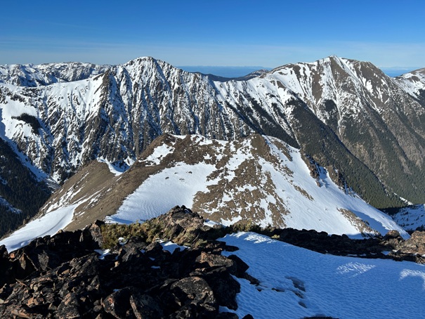
In route to summit from Goat Lake
Goat Lake
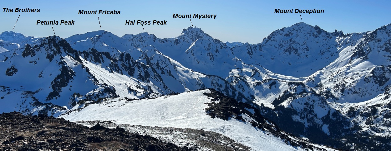
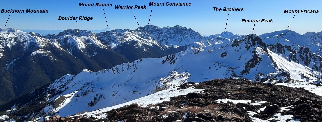
Petunia Peak
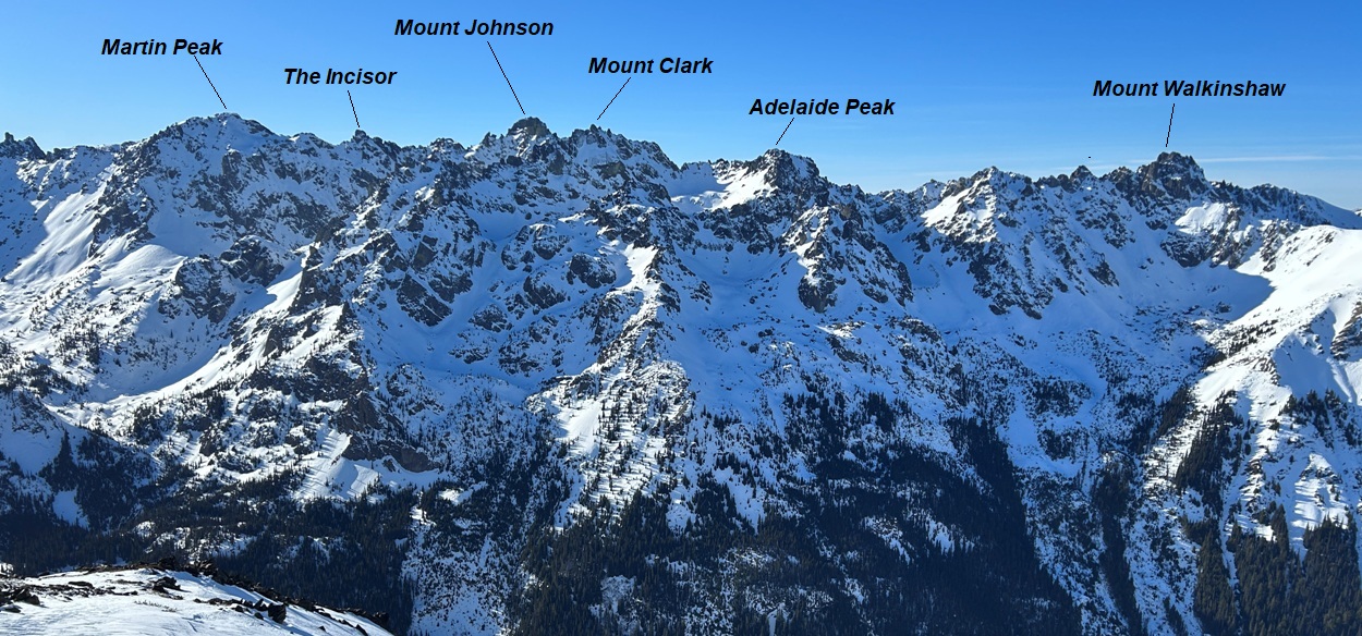
Gray Wolf Ridge North and South Peaks
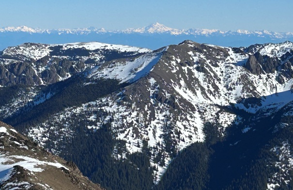
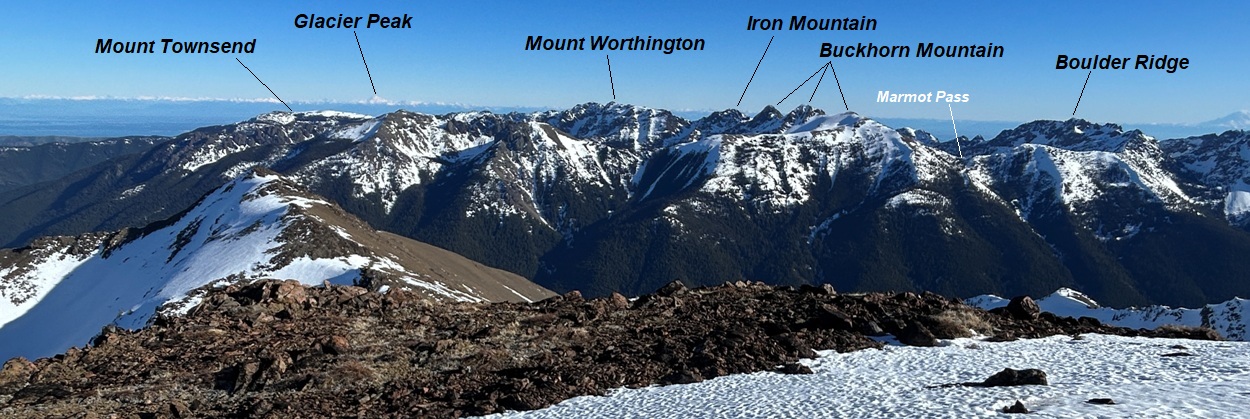
Mount Townsend, Copper Creek Peak and a distant Glacier Peak.
Mount Baldy and Tyler Peak
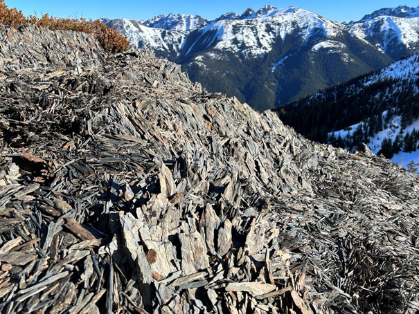
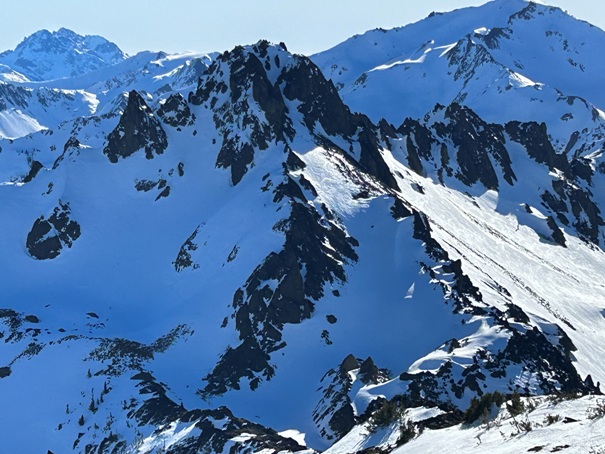
Fractured rocks
