Kennedy Creek Falls and Trail System
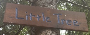
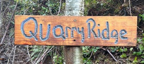
Kennedy Creek is an interesting area to explore. In Fall, you can get up close views of the salmon that are spawning. The first gate is even open in November allowing you to save a half mile in each direction if hiking to Kennedy Falls. This trail system is mostly on private timberlands (currently Green Diamond), but non-motorized use is allowed and the mountain bike community is taking good advantage of it. There are trails built everywhere with most trails well signed. Loop trips abound and although the elevation is as low as you can go in the mountains, there are some BIG views. The place is perfect for high mileage exercise in winter when the snow level is hovering around 1,000 feet. I did a trip of 19 miles and hit all the main highpoints and the waterfall. Very little time was spent backtracking and my time was split 50/50 between trails and roads. This is a working forest so trails do get shifted or obliterated at times, but a good number were in tree stands that will be growing for many years to come.
Access:
Take Highway 101 to around milepost 356 onto Old Olympic Highway. Look for a yellow gate with a small hill behind it on the West side of the road. The opposite side of the road will have a long wide shoulder for cars to park parallel to the road.
WillhiteWeb.com
Route:
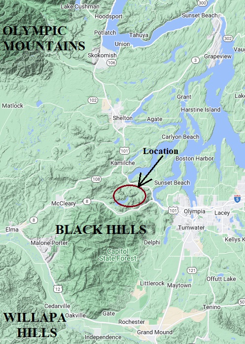
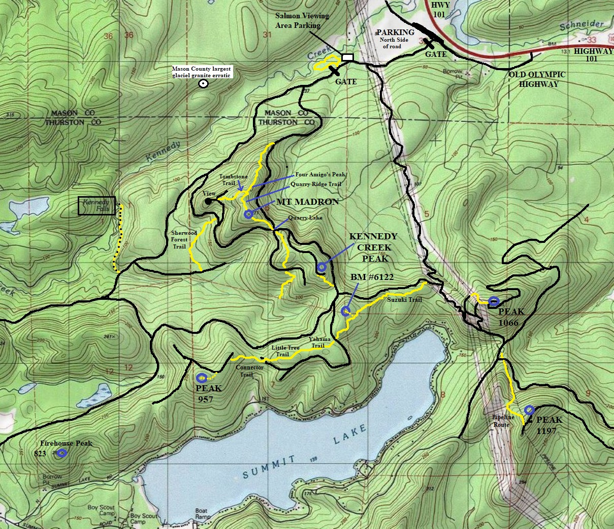
Choose your own adventure but bring a few maps. I used a paper map I made from studying satellite views beforehand. I also used 2 phone apps with multiple map layers. ALL came in handy and I still missed a few turns here and there. Trails and roads go in all directions. The map I have provided is the best I could do but there are so many other trails and roads not shown.
Elevation: From 50 feet to 1,200 feet
Hiking Distance: 3 miles to falls, miles of additional loop trips
Elevation Gain: 800 feet of doing the loop with Mt. Madron
Access: Paved

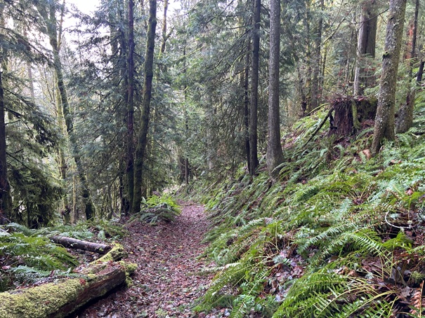

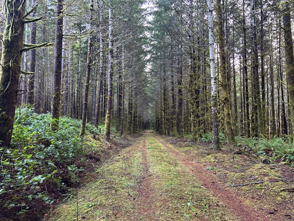


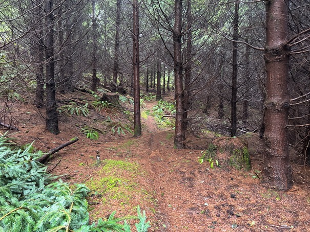



Hiking through a young stand of timber
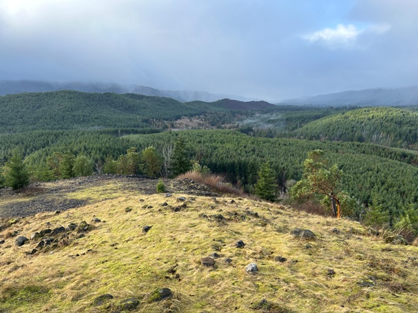
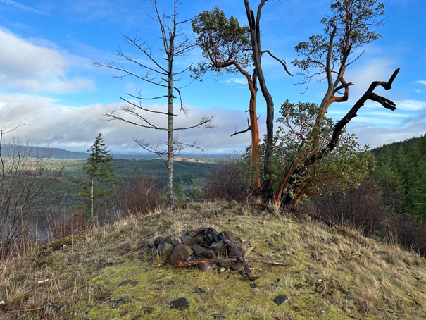
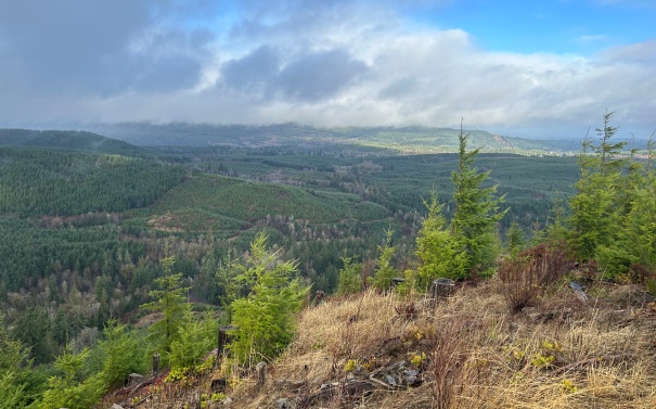
View from Kennedy Creek Peak during a rain shower
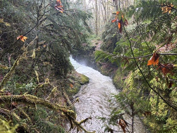
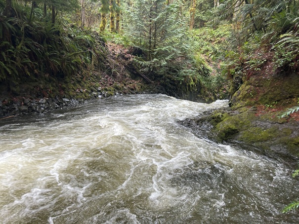
Kennedy Creek Falls from above
Kennedy Creek Falls just before the big fall
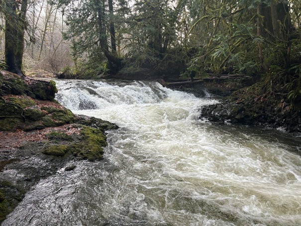
Kennedy Creek just below the falls
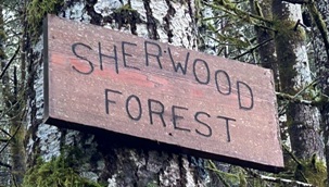
Hiking through a stand of timber near Sherwood Forest
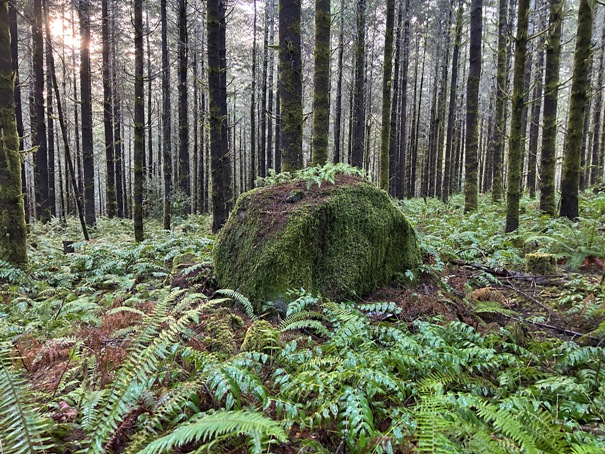
A glacial erratic in Sherwood Forest
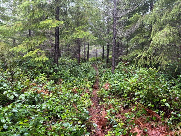
Hiking through a young stand of timber with salal undergrowth
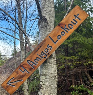
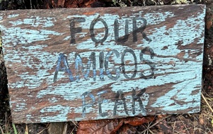
Four Amigos Viewpoint
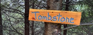
Viewpoint from the bald on the Tombstone Trail
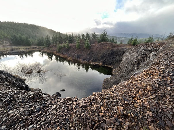
Rock quarry lake
Viewpoint from the bald on the Tombstone Trail
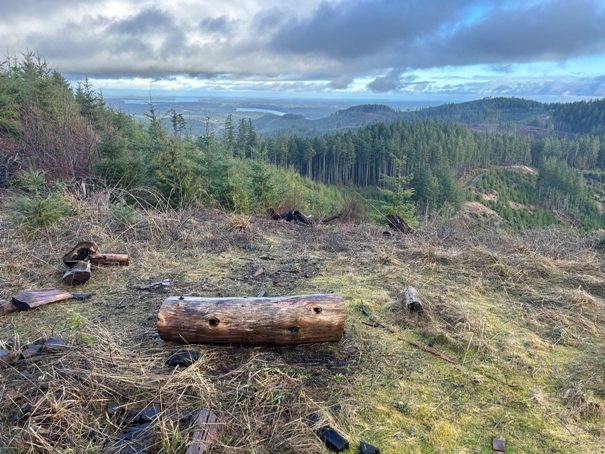
Viewpoint near the summit of Peak 1197
An old trail for the pipeline route on peak 1197
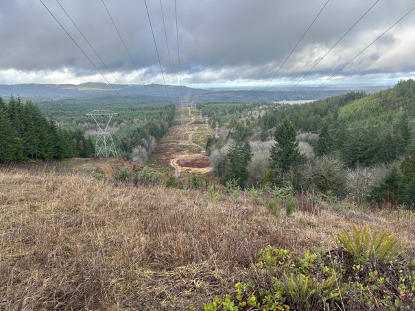
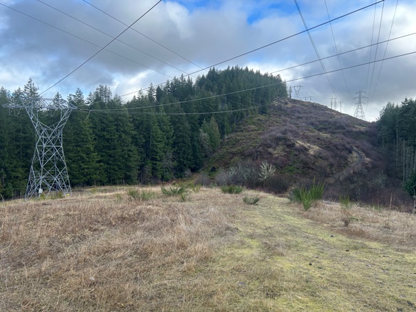
Powerlines going up Peak 1066, view from the east side
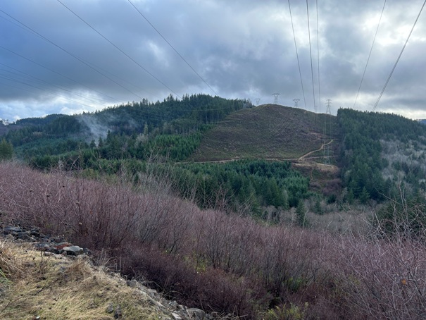
Peak 1197 from the shoulder of Peak 1066
Powerlines going north
Summit Lake from peak 1066
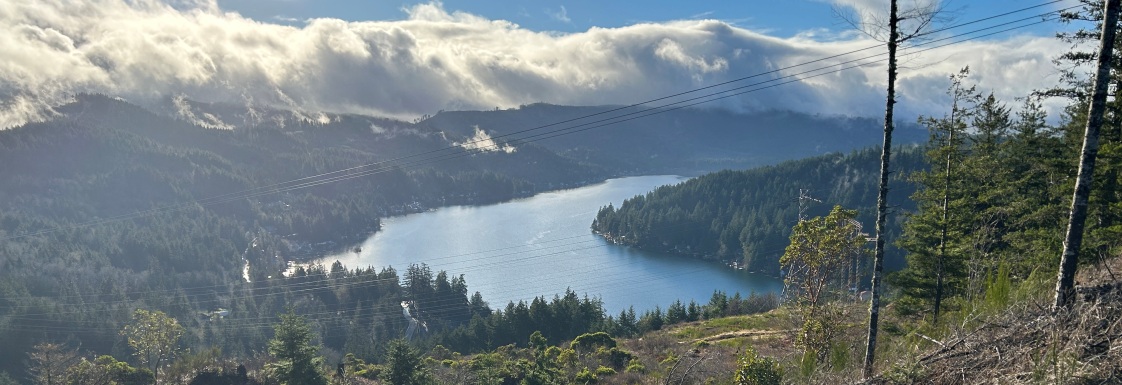
South Puget Sound from peak 1066 (Totten Inlet)
South Puget Sound from peak 1066 (Totten Inlet)
East from peak 1066
Starting to overgrow
Nicely managed forest
One of the first signs in the area
Use for reference only. There are too many other trails and roads that make it confusing when out there.


